Uphill
773m
Length
8km
Duration
5h
Elev gain
773m
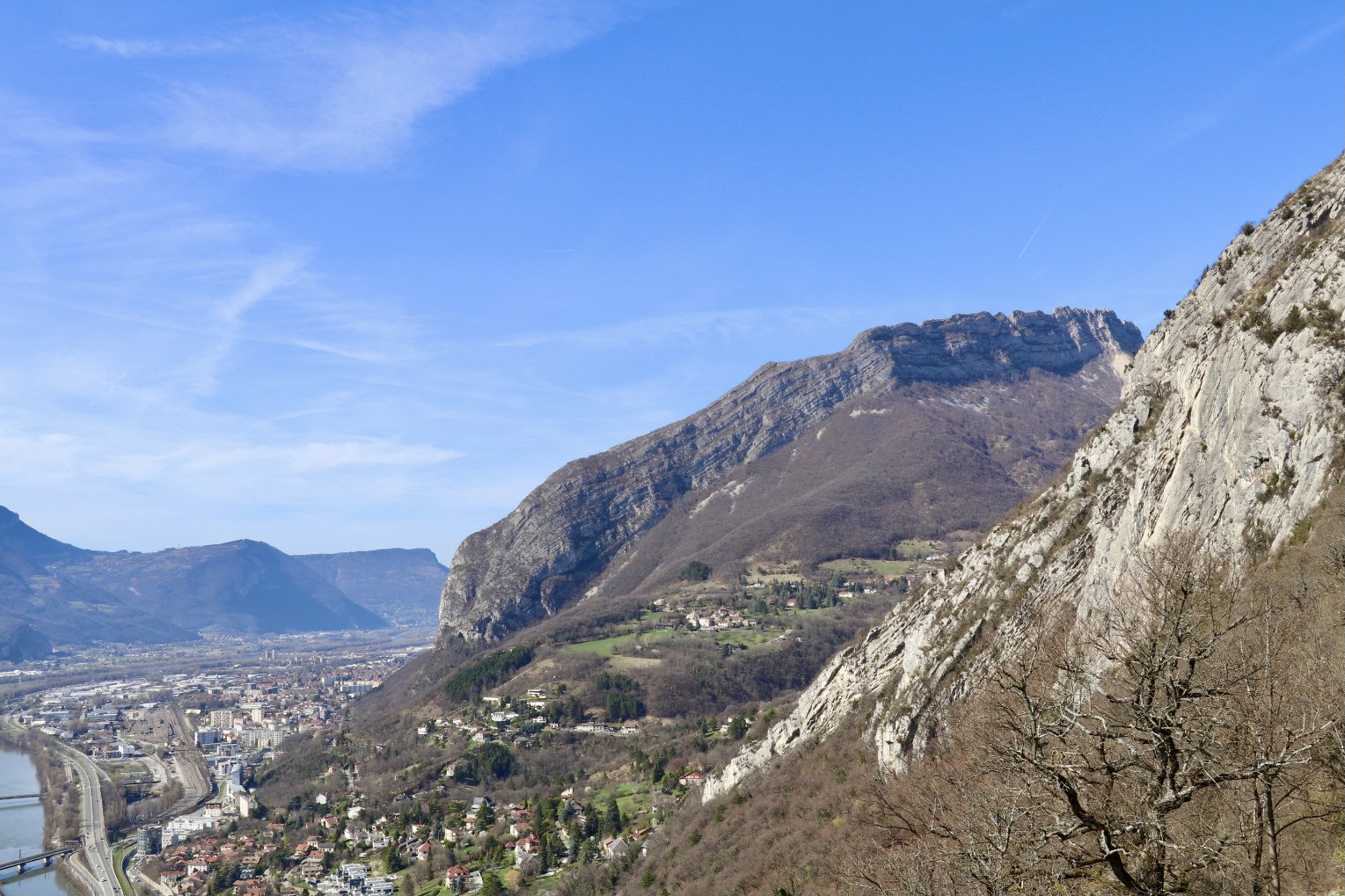
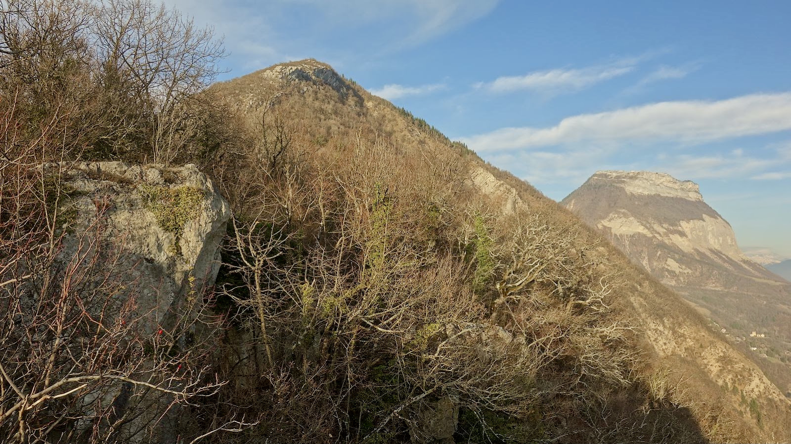
Starting from La Tronche, this trail first joins the Quinsonas cross located on Mount Jalla, before spinning just below Mount Rachais.
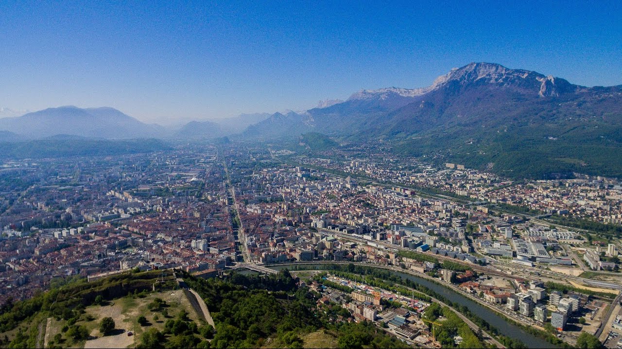
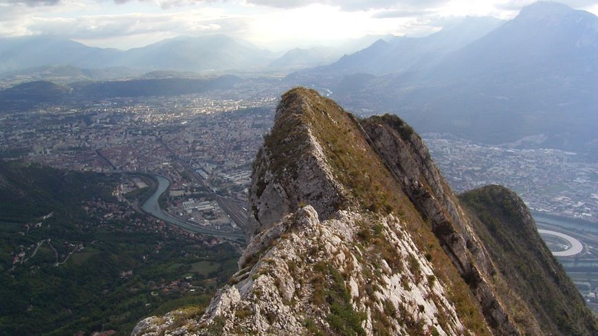
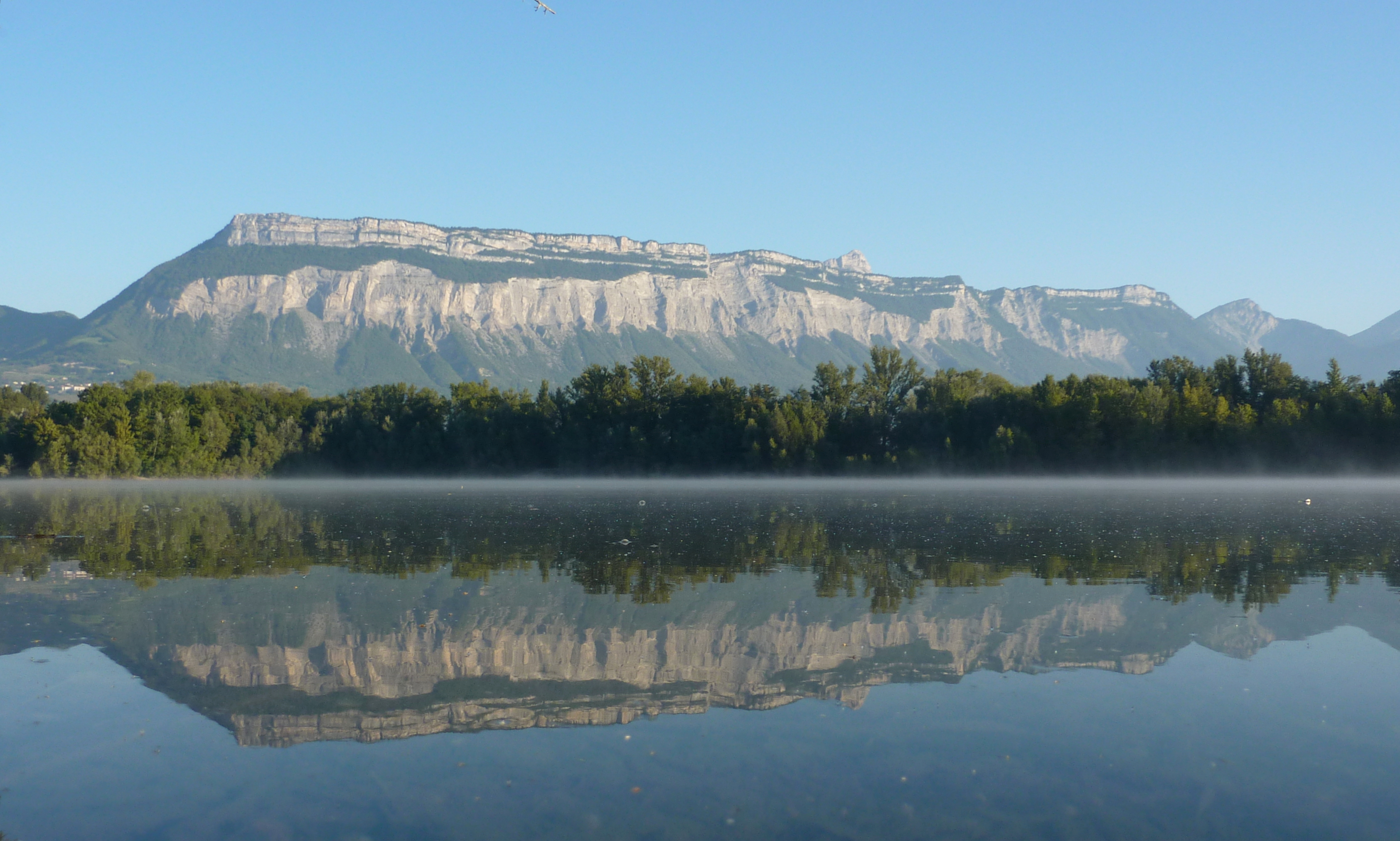
This walk offers lovely views over Grenoble, surrounded by the Belledonne, the Taillefer, and the Vercors.

Already more than 200,000 users!
Uphill
773m
Highest point
979m
Downhill
773m
Lowest point
236m
Route type
Loop
Download the map on your smartphone to save battery and rest assured to always keep access to the route, even without signal.
Includes IGN France and Swisstopo.
I indicate whether dogs are allowed or prohibited on this trail
Can be difficult in Winter
0 ratings
Also enjoy:

Already more than 200,000 users!