Uphill
13m
Length
3km
Duration
1h
Elev gain
13m
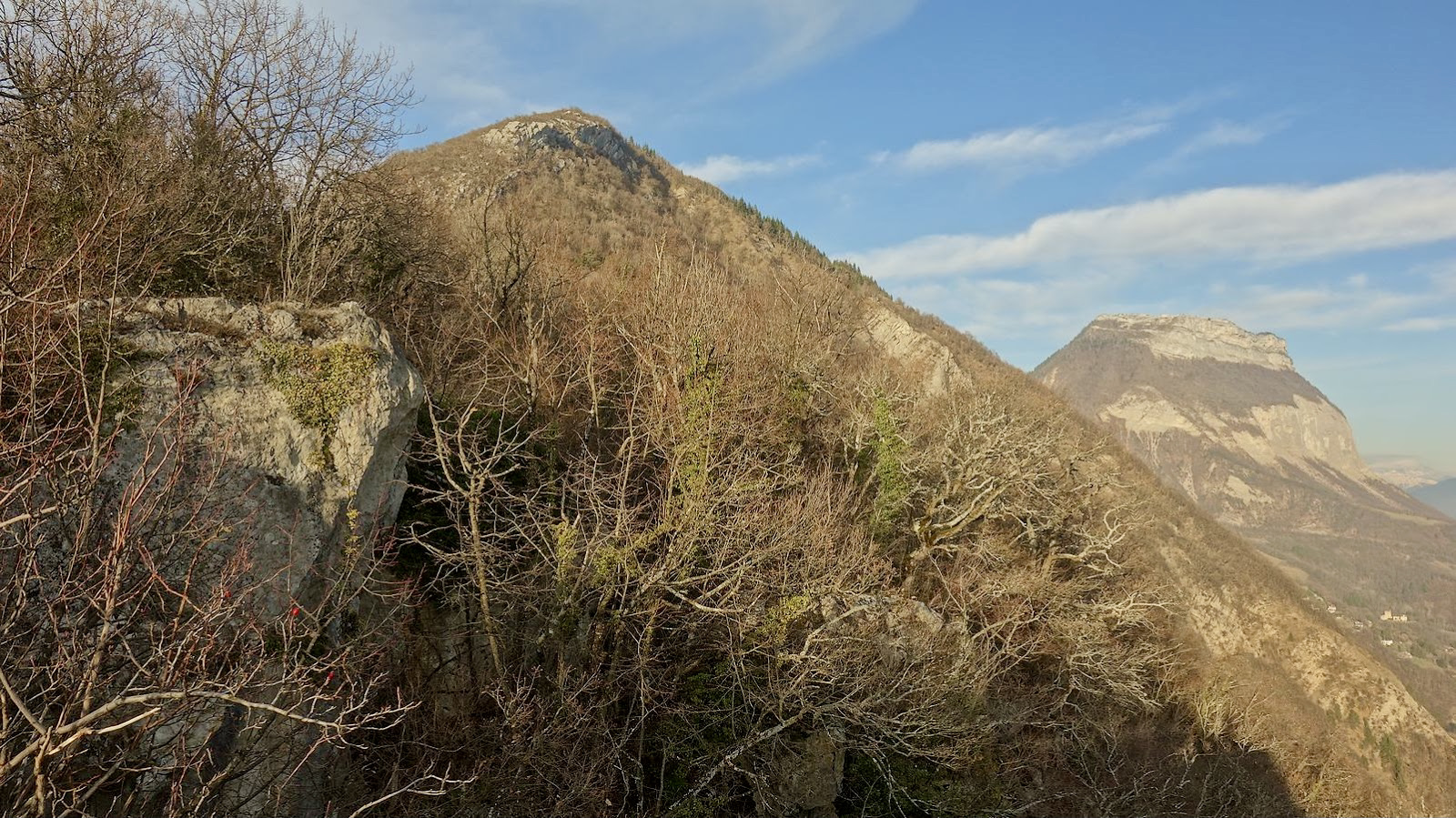
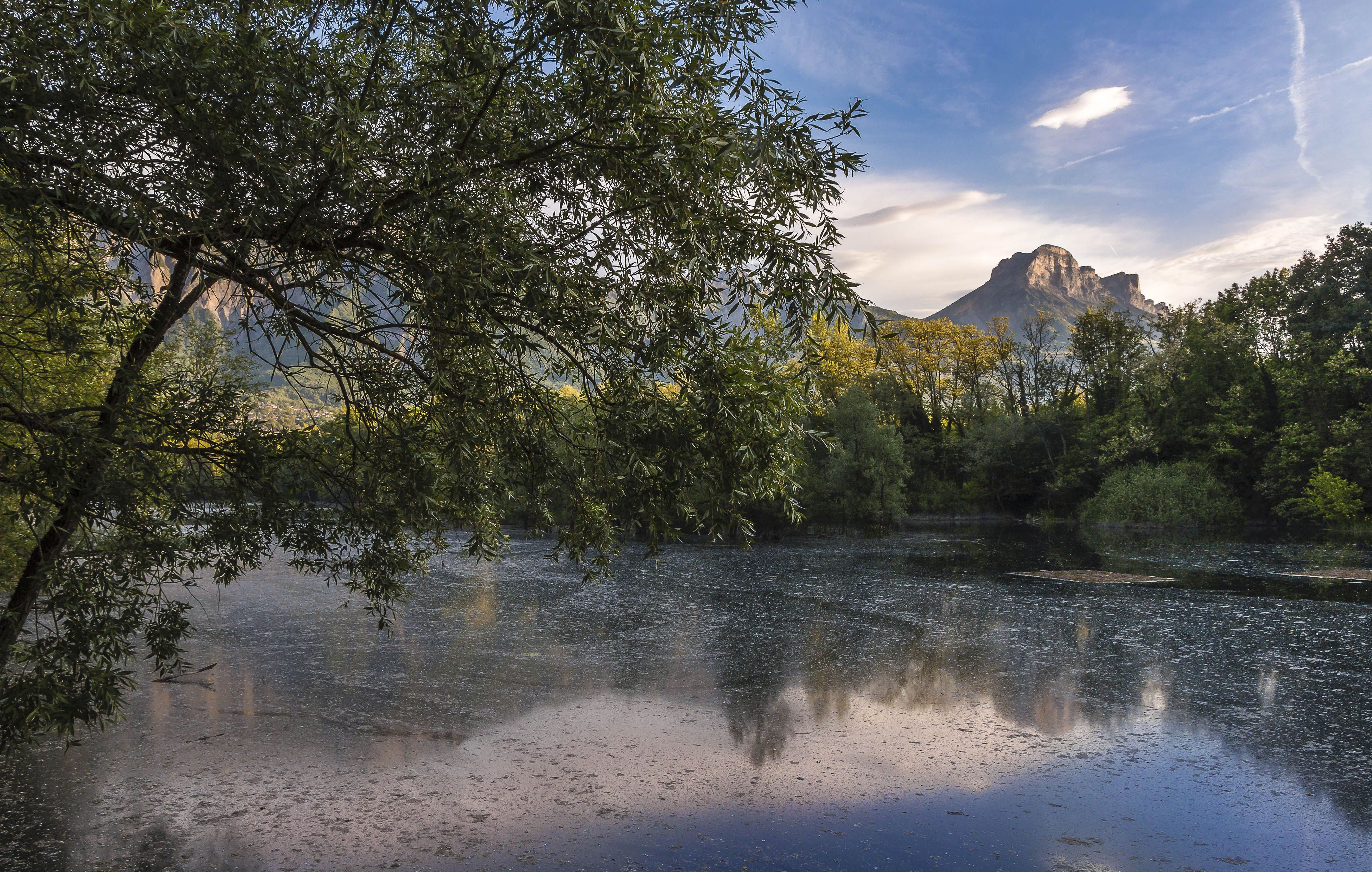
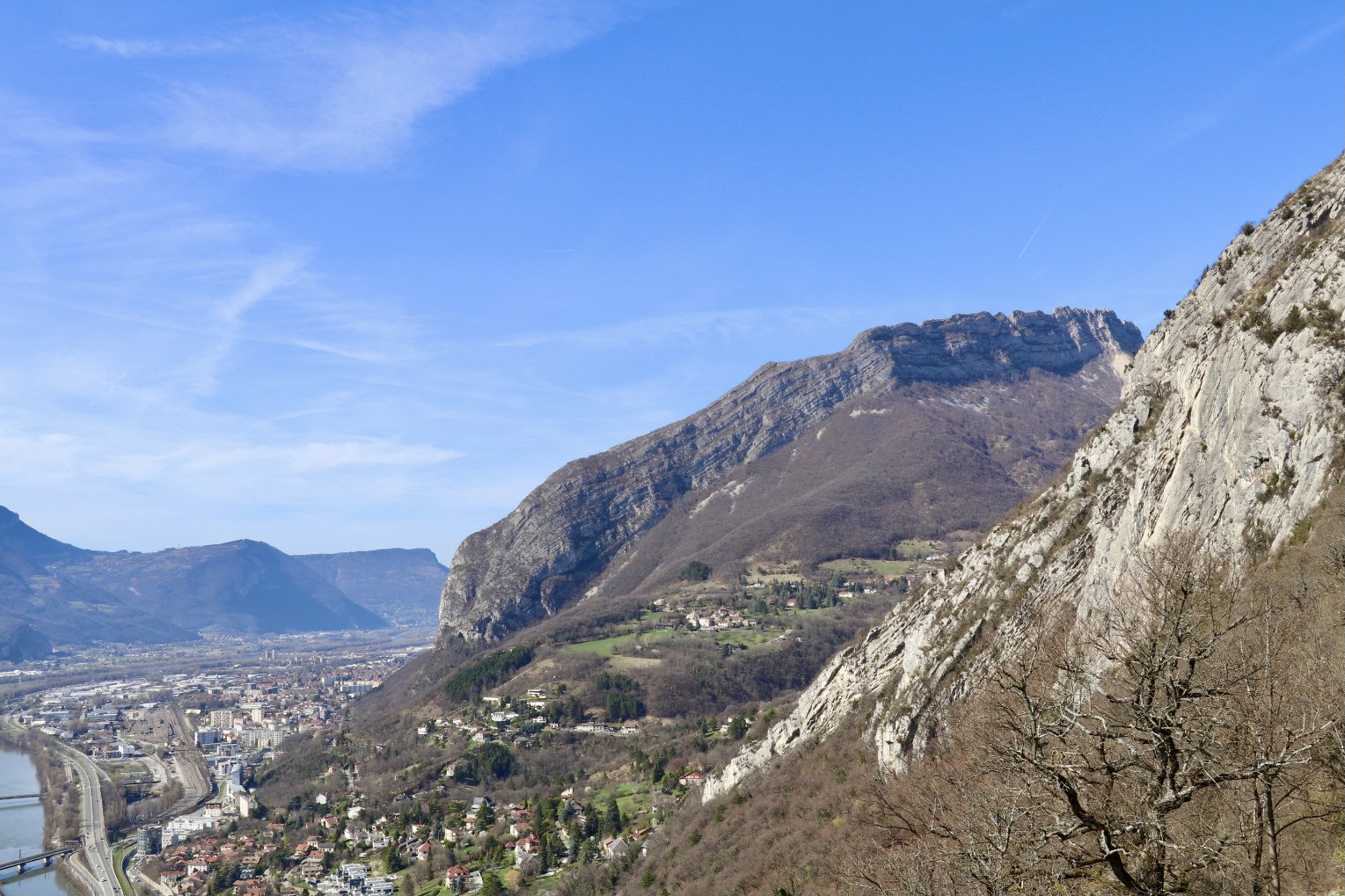
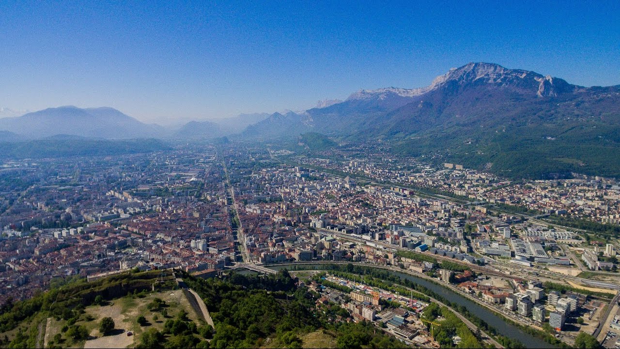
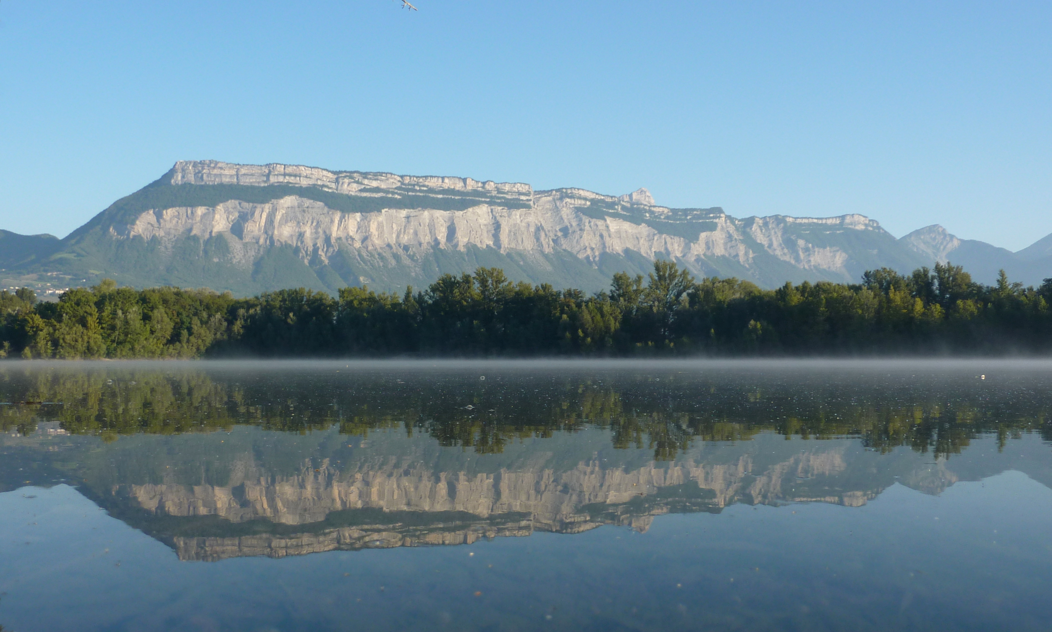
Located in the commune of Meylan, at the beginning of the Grésivaudan valley, the Lac de la Taillat is a magnificent setting for walking. Indeed, this peaceful artificial lake located near the Isère is surrounded by footpaths, including this one which goes around the lake.
Nothing complicated, but a pretty natural setting near the city that allows you to fill up with fresh air.

Already more than 200,000 users!
Uphill
13m
Highest point
229m
Downhill
13m
Lowest point
210m
Route type
Loop
Download the map on your smartphone to save battery and rest assured to always keep access to the route, even without signal.
Includes IGN France and Swisstopo.
I indicate whether dogs are allowed or prohibited on this trail
All year
0 ratings
Also enjoy:

Already more than 200,000 users!