Uphill
80m
Length
7km
Duration
2h
Elev gain
80m
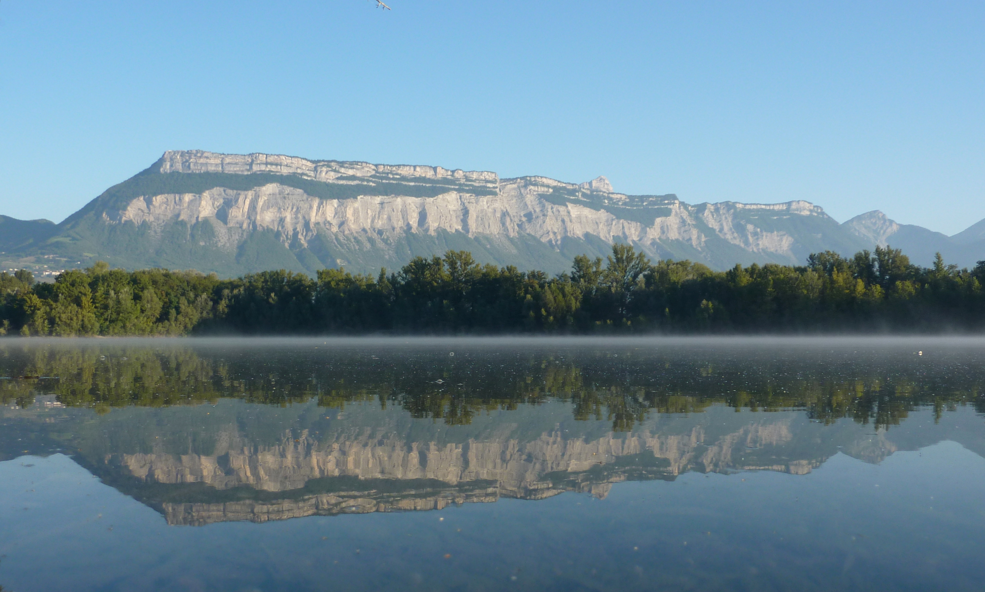
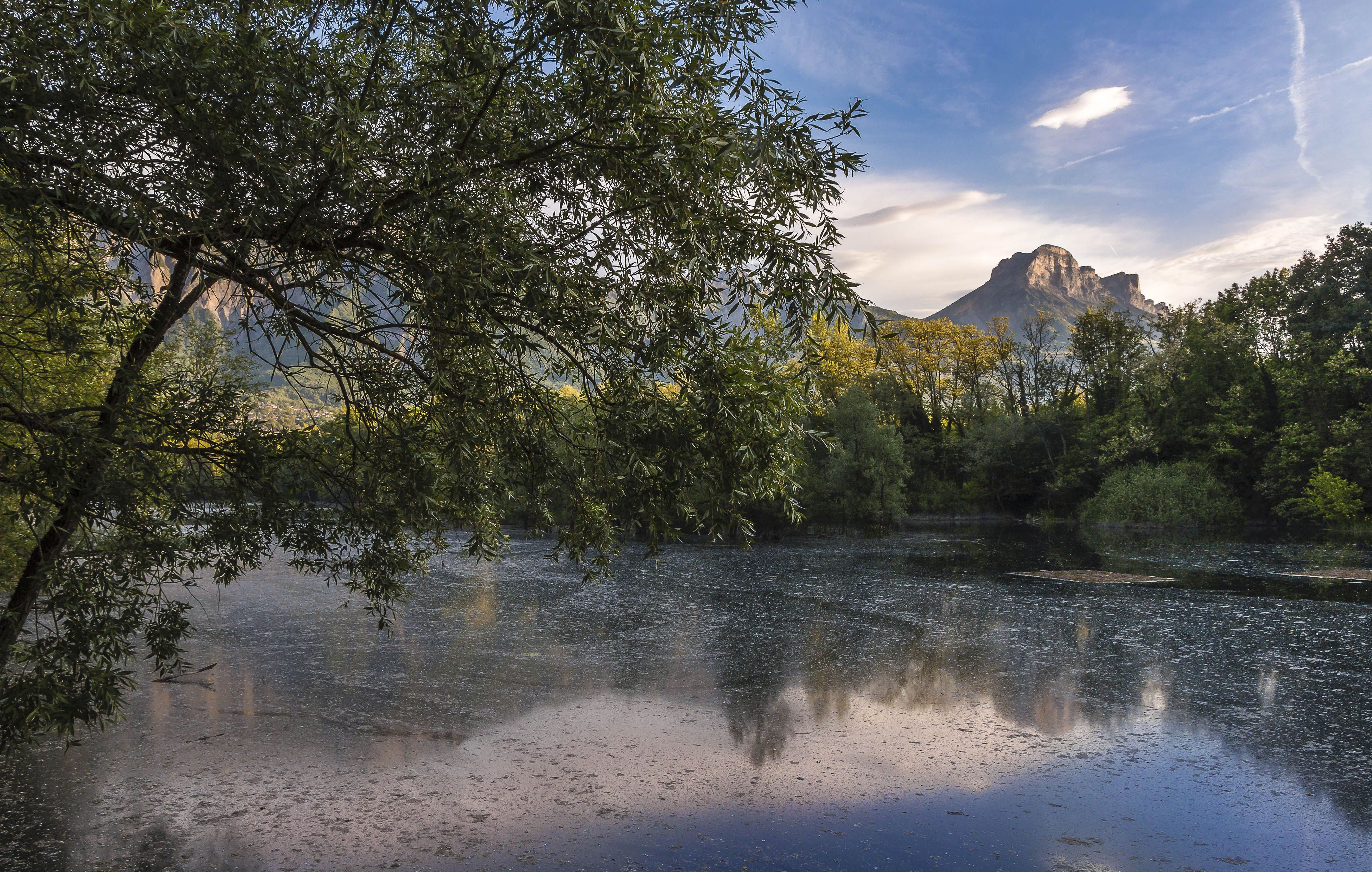
Located in the Grésivaudan valley, this course meanders around many ponds including those of La Bâtie and Pacific, all on the edge of the Isère. This route presents no difficulty and offers beautiful and varied landscapes, ideal for a family outing!

Already more than 200,000 users!
Uphill
80m
Highest point
244m
Downhill
80m
Lowest point
212m
Route type
Loop
Download the map on your smartphone to save battery and rest assured to always keep access to the route, even without signal.
Includes IGN France and Swisstopo.
I indicate whether dogs are allowed or prohibited on this trail
All year
0 ratings
Also enjoy:

Already more than 200,000 users!