Uphill
1658m
Length
21km
Duration
11h30min
Elev gain
1658m
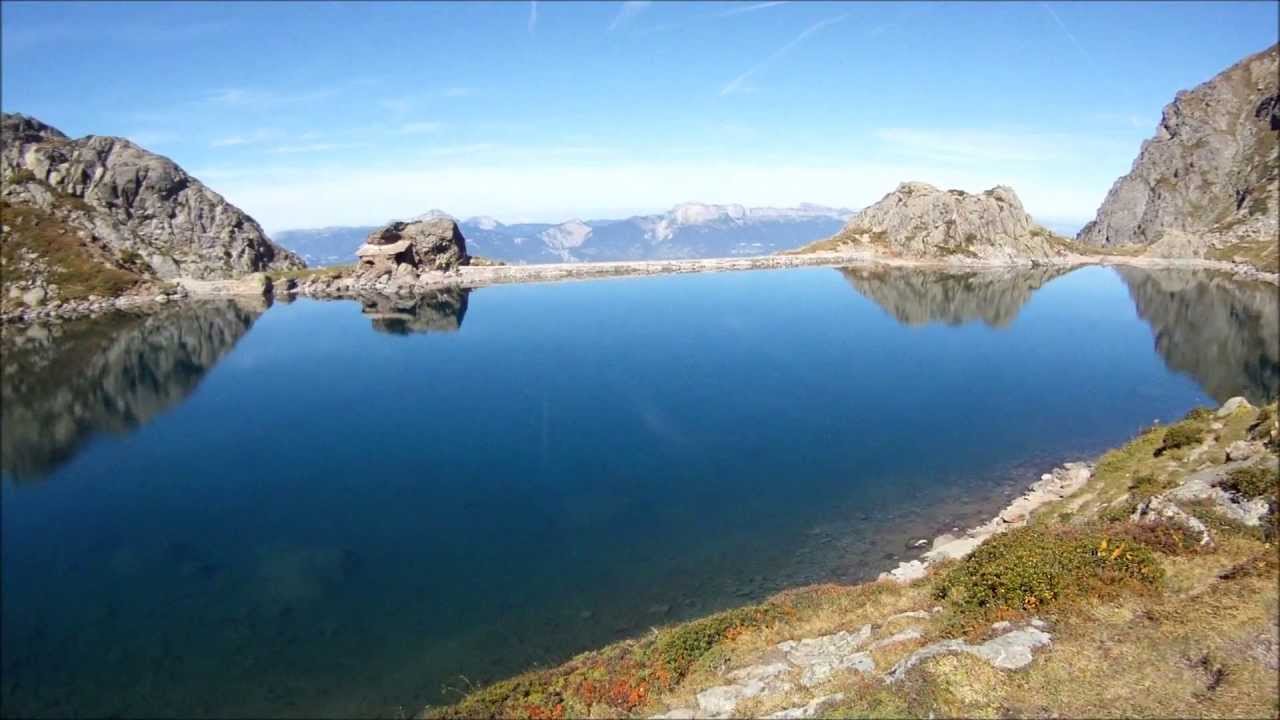
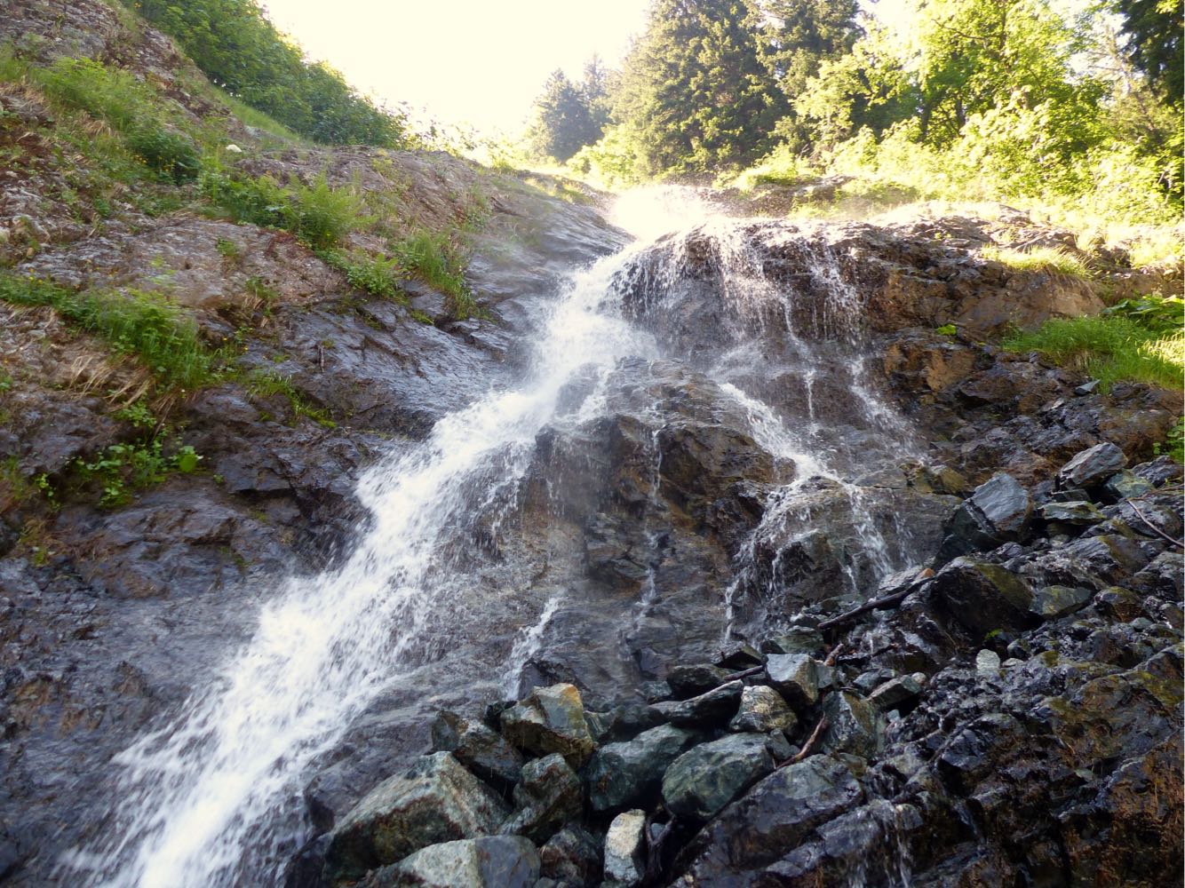
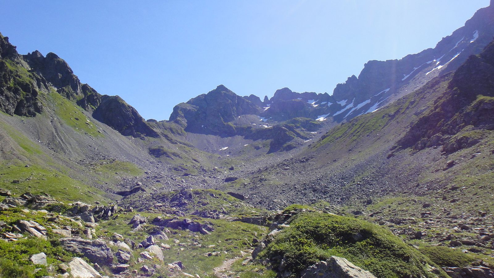
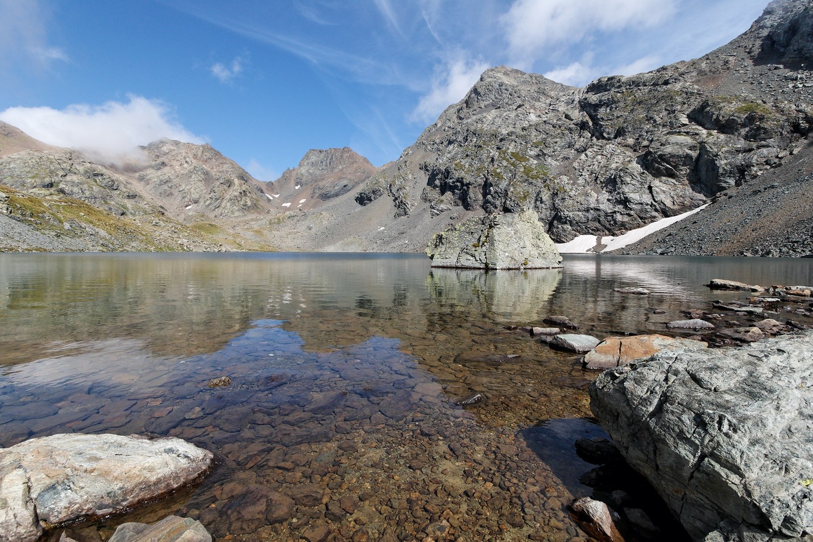
Ascent of the second highest peak of the Belledonne massif, at 2926 meters. Several lakes and streams along the way.

Already more than 200,000 users!
Uphill
1658m
Highest point
2902m
Downhill
1658m
Lowest point
1375m
Route type
There and back
Download the map on your smartphone to save battery and rest assured to always keep access to the route, even without signal.
Includes IGN France and Swisstopo.
I indicate whether dogs are allowed or prohibited on this trail
From June to September
1 rating
Magnifique, peut se faire dans la journée en comptant 8h aller retour
Also enjoy:

Already more than 200,000 users!