Uphill
1400m
Length
16km
Duration
9h30min
Elev gain
1400m
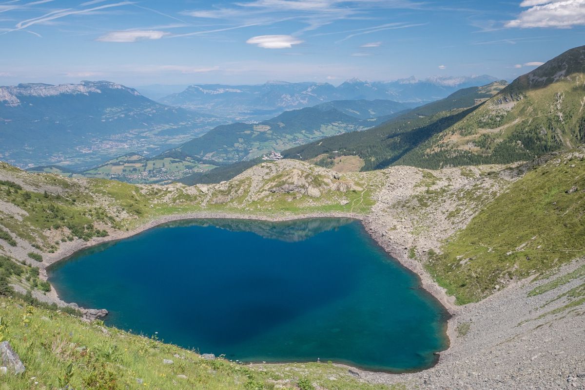
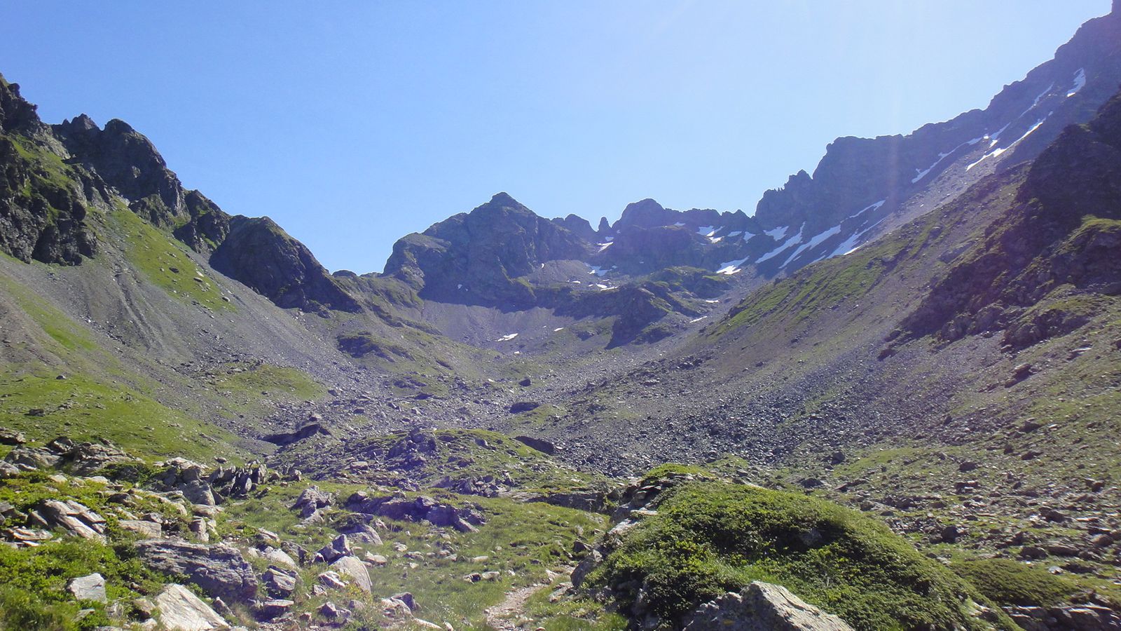
Trail with a strong elevation gain, via Lac de Crop.

Already more than 200,000 users!
Uphill
1400m
Highest point
2428m
Downhill
1400m
Lowest point
1304m
Route type
Loop
Download the map on your smartphone to save battery and rest assured to always keep access to the route, even without signal.
Includes IGN France and Swisstopo.
I indicate whether dogs are allowed or prohibited on this trail
From June to September
0 ratings
Also enjoy:

Already more than 200,000 users!