Uphill
985m
Length
10km
Duration
6h30min
Elev gain
985m
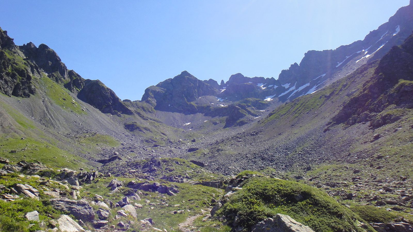
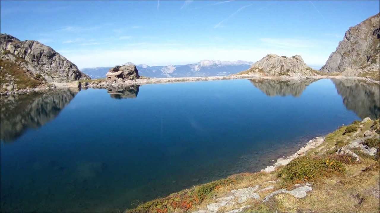
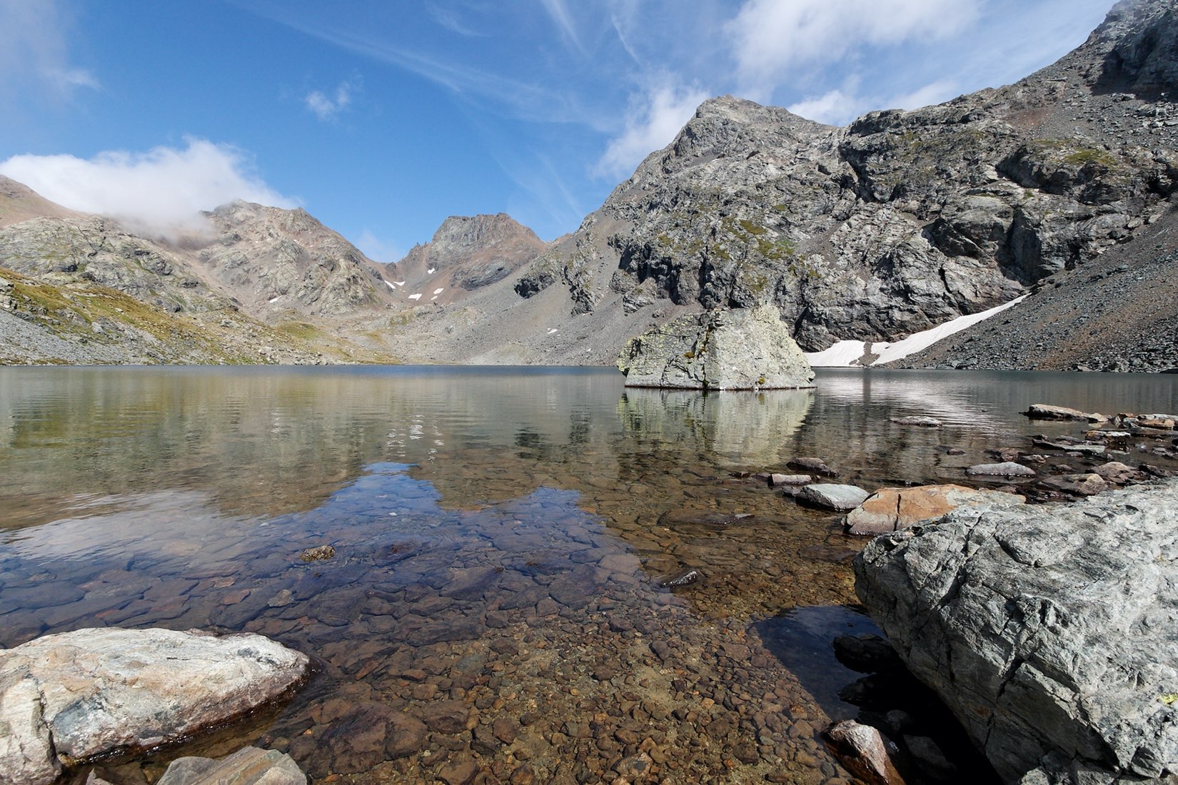
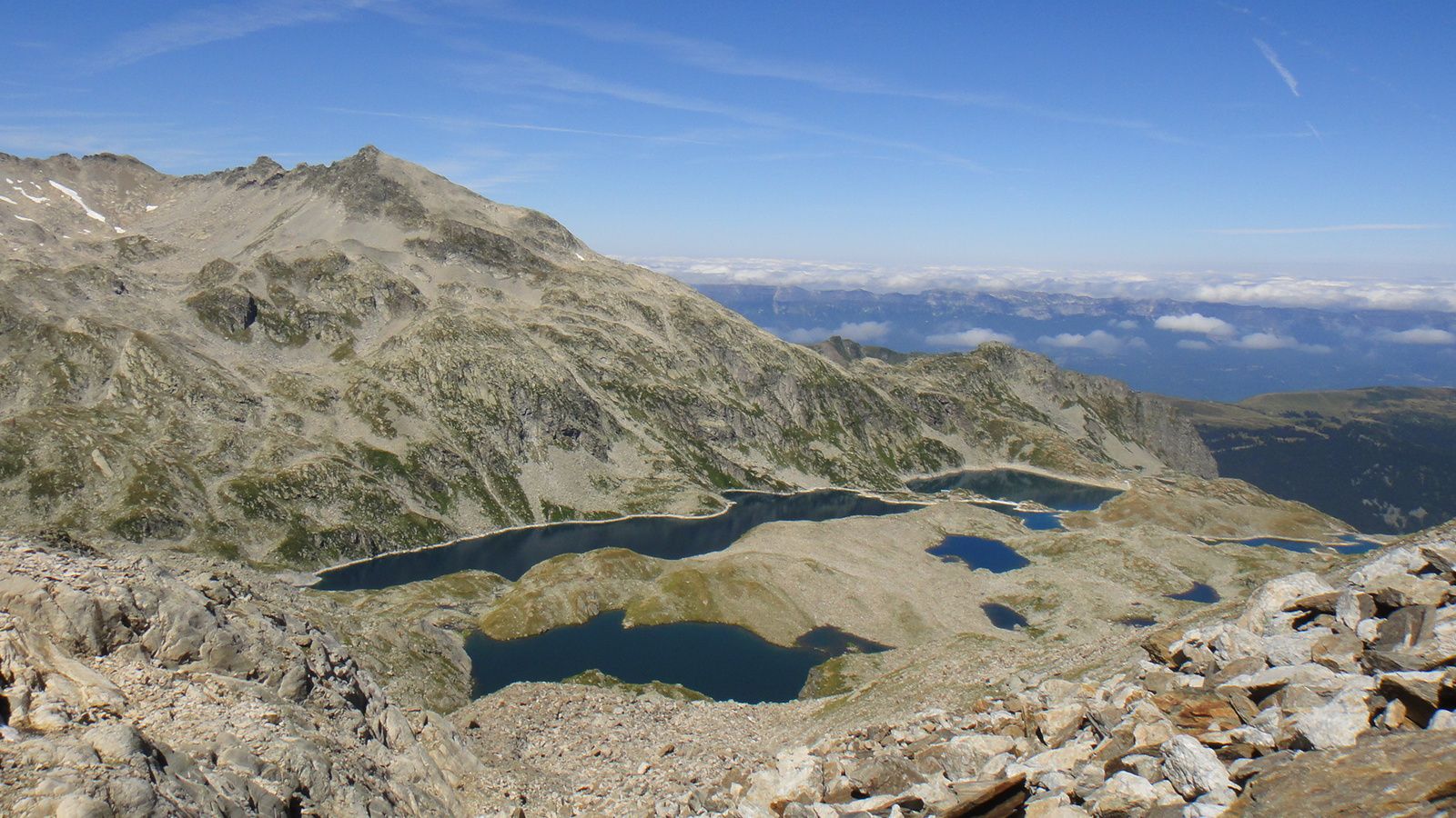
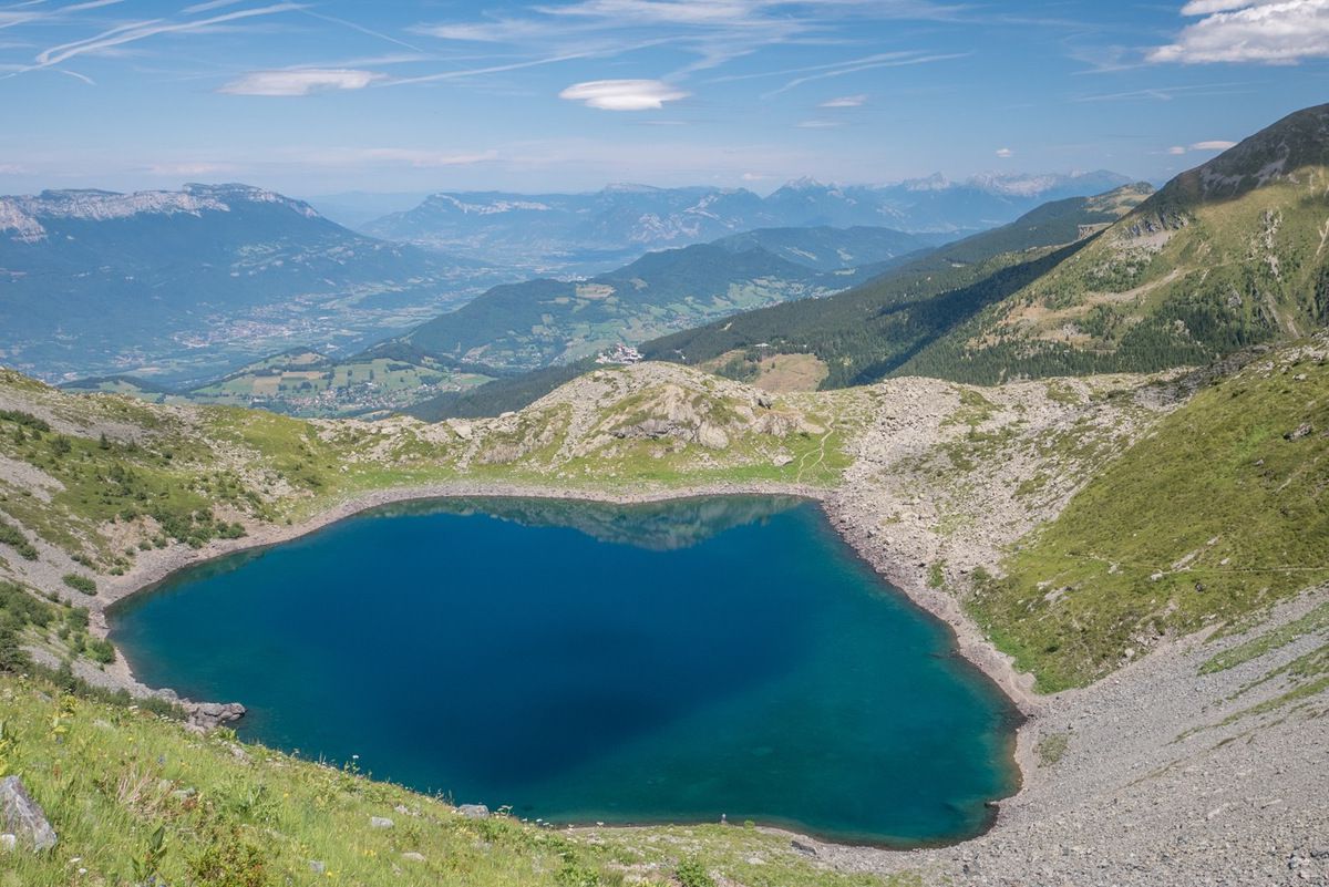
In the heart of Belledonne, this path allows you to reach the Lac de Crop, even passing by a small promontory nearby for a pretty view. The trail also crosses the Muret and Crop streams.

Already more than 200,000 users!
Uphill
985m
Highest point
2207m
Downhill
985m
Lowest point
1274m
Route type
There and back
Download the map on your smartphone to save battery and rest assured to always keep access to the route, even without signal.
Includes IGN France and Swisstopo.
I indicate whether dogs are allowed or prohibited on this trail
From May to September
3 ratings
Chach la théière va kiffer sa race hoho
Also enjoy:

Already more than 200,000 users!