Uphill
1279m

Length
16km
Duration
9h
Elev gain
1279m
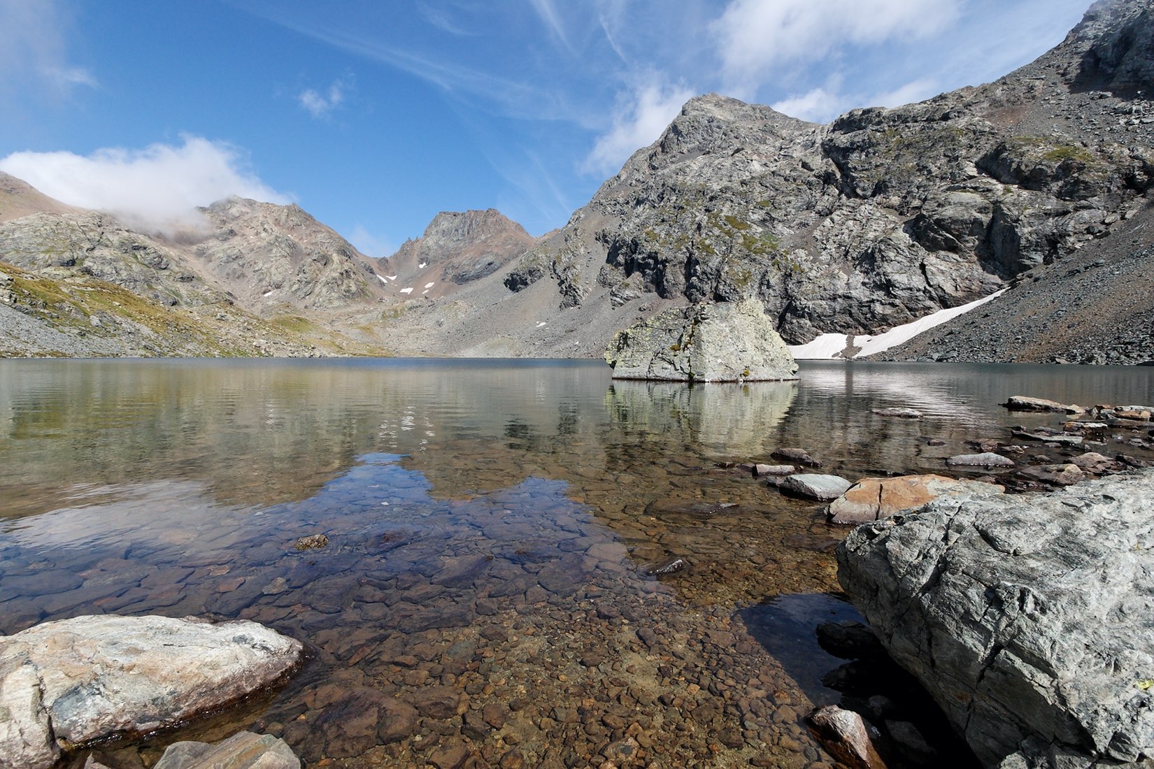
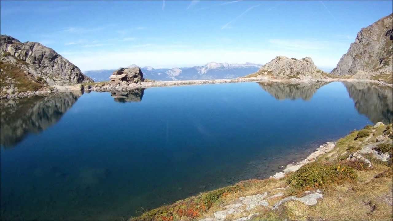
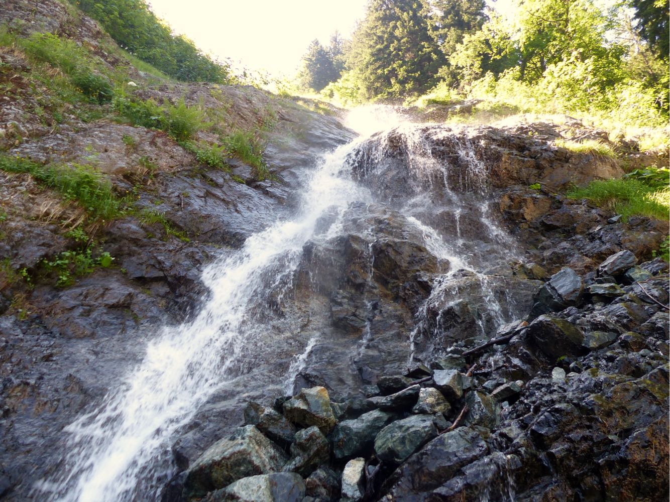
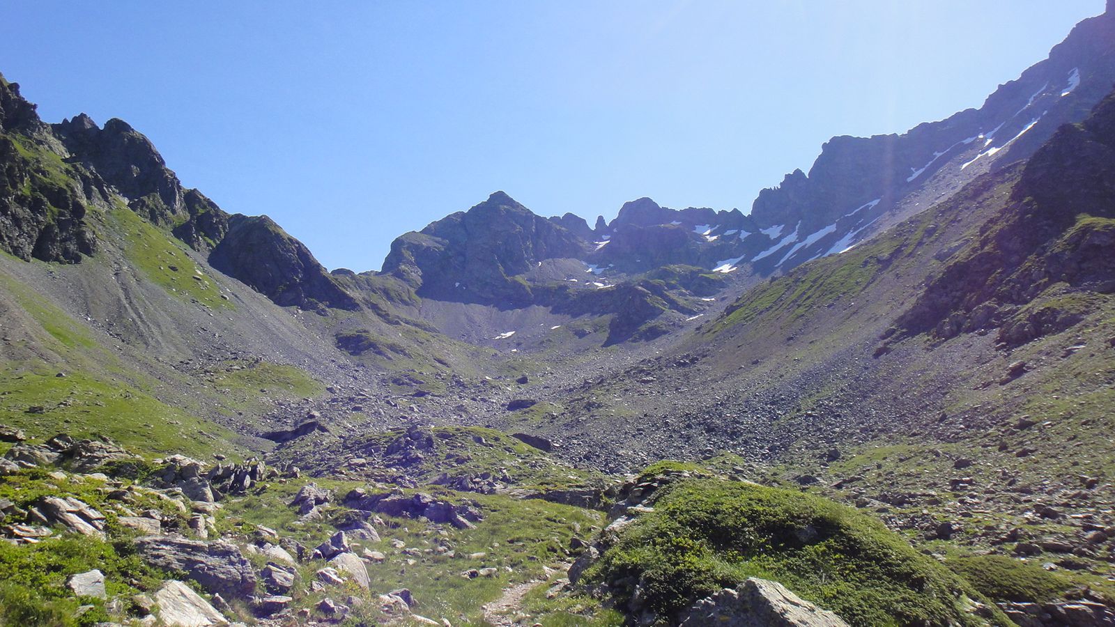
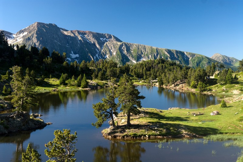
Located in the immediate vicinity of Grenoble, this path makes a loop in the Belledonne massif, along the lakes of Crozet and Merlat, before an ascent to almost 2400 meters. Nice view of the Chartreuse and Vercors massifs.

Already more than 200,000 users!
Uphill
1279m
Highest point
2382m
Downhill
1279m
Lowest point
1289m
Route type
Loop
Download the map on your smartphone to save battery and rest assured to always keep access to the route, even without signal.
Includes IGN France and Swisstopo.
I indicate whether dogs are allowed or prohibited on this trail
From May to September
2 ratings
Also enjoy:

Already more than 200,000 users!