Uphill
586m
Length
11km
Duration
4h30min
Elev gain
586m
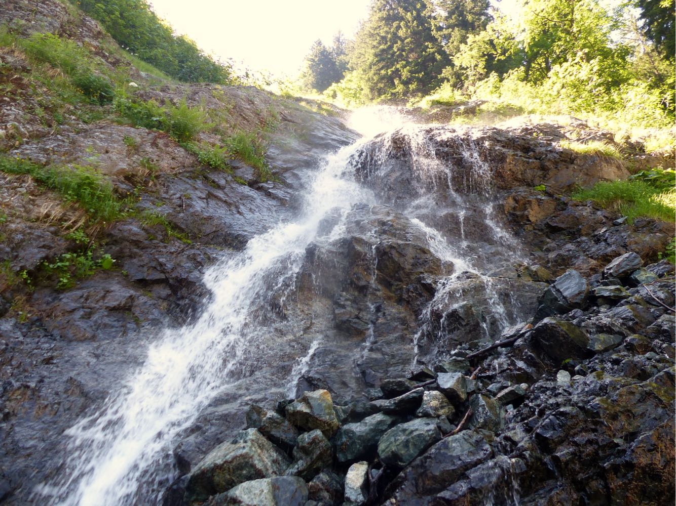
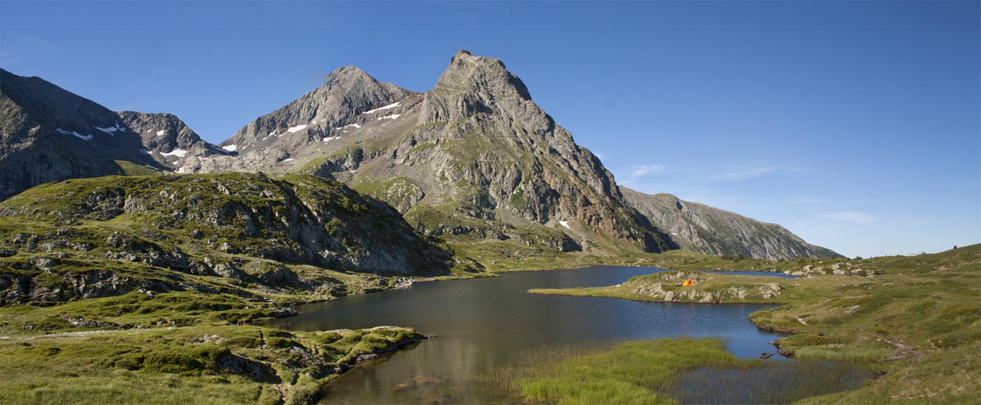
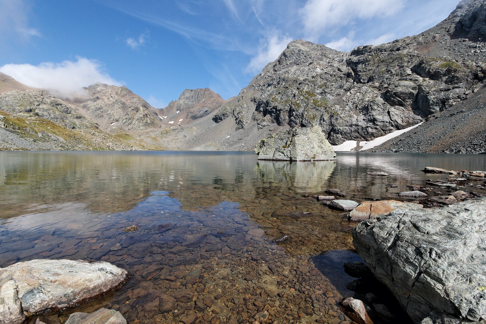
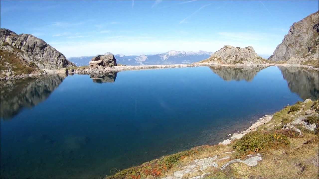
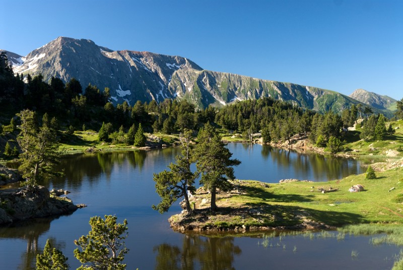
Starting from the ski resort of Chamrousse, at the gates of Grenoble, this trail crosses the ski area and joins very pretty high-altitude lakes: lakes Achard and Robert.

Already more than 200,000 users!
Uphill
586m
Highest point
2174m
Downhill
586m
Lowest point
1730m
Route type
Loop
Download the map on your smartphone to save battery and rest assured to always keep access to the route, even without signal.
Includes IGN France and Swisstopo.
5 ratings
Belle randonnée
Also enjoy:

Already more than 200,000 users!