Uphill
508m
Length
9km
Duration
4h
Elev gain
508m
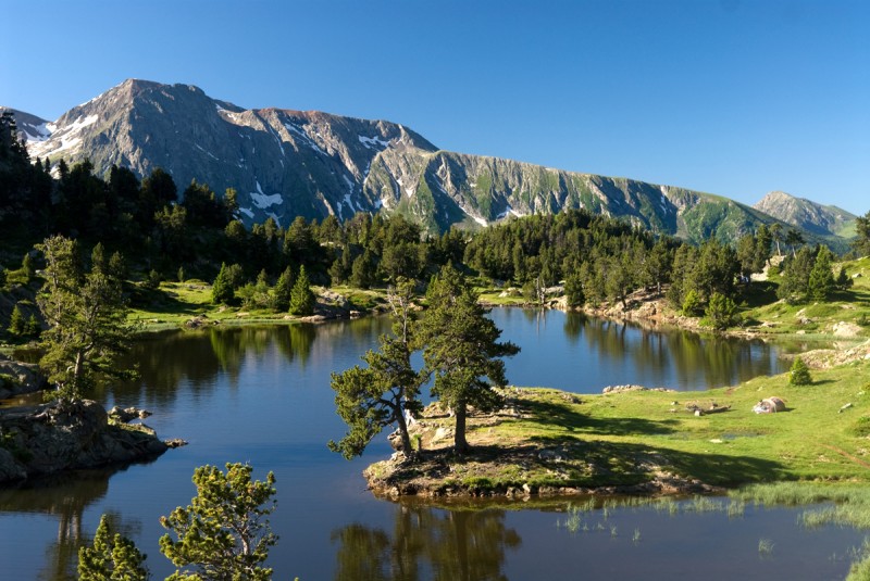
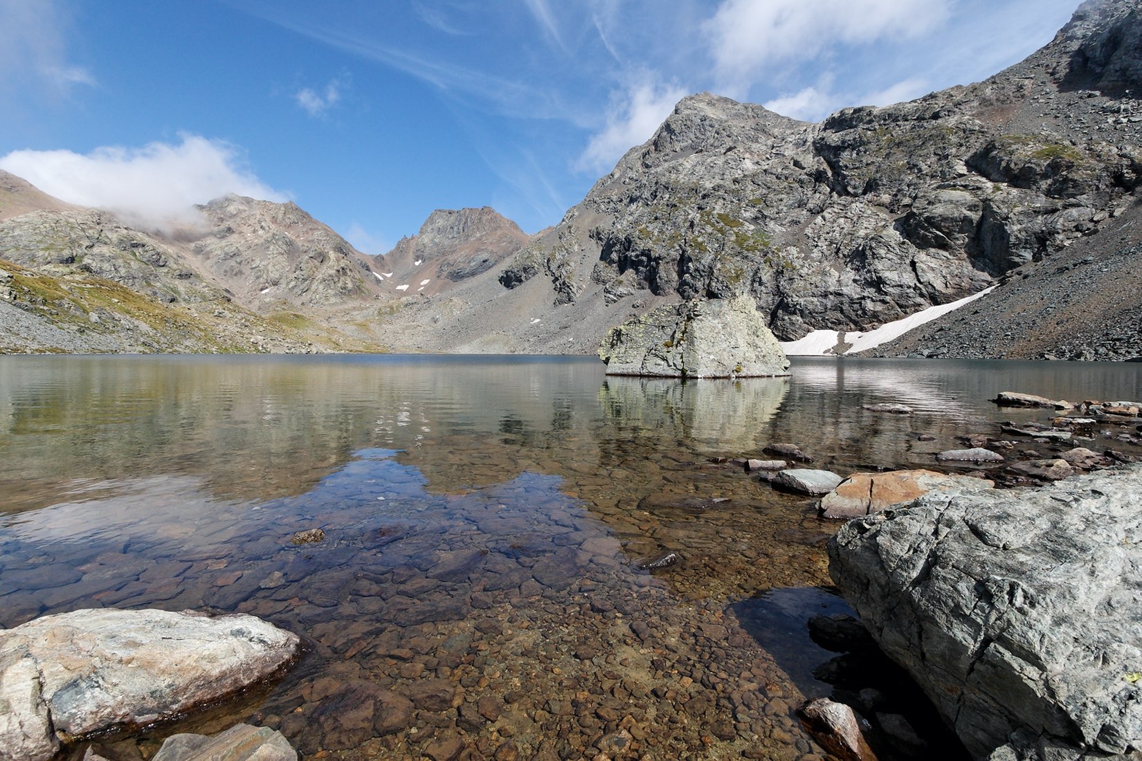
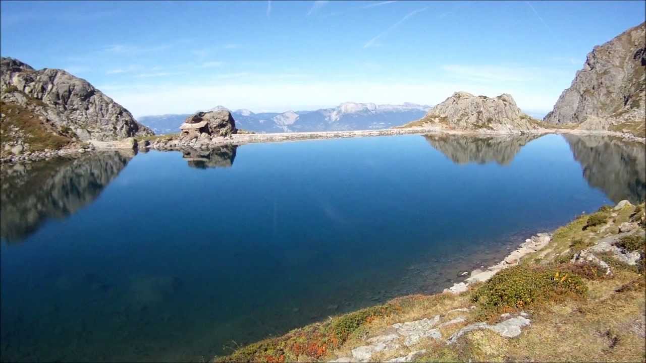
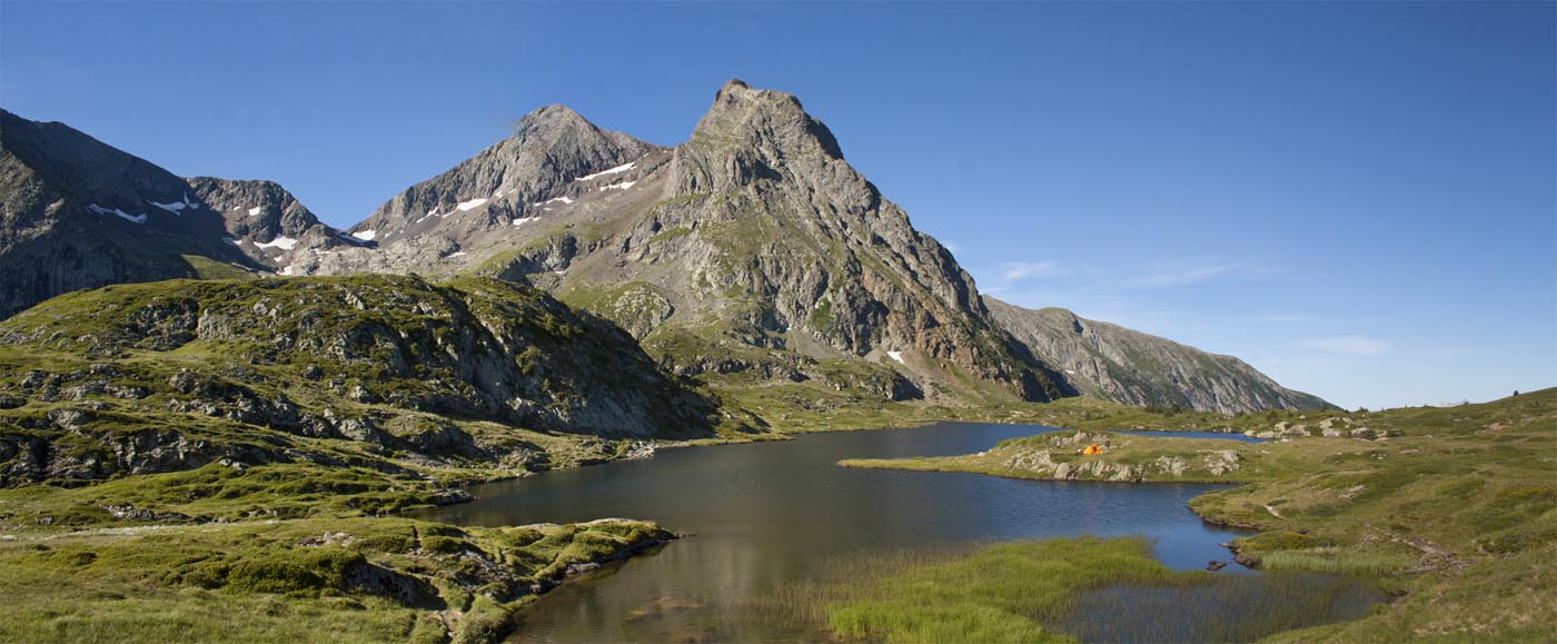
Departing from Poursollet, this round-trip walk takes you to a plateau with many lakes, including Lake Fourchu.
Ideal for a picnic by the water, at the foot of the Taillefer.

Already more than 200,000 users!
Uphill
508m
Highest point
2100m
Downhill
508m
Lowest point
1654m
Route type
There and back
Download the map on your smartphone to save battery and rest assured to always keep access to the route, even without signal.
Includes IGN France and Swisstopo.
2 ratings
Très belle randonnée, le plateau des lacs est très agréable. Peu de panorama dans mon souvenir.
Also enjoy:

Already more than 200,000 users!