Uphill
694m
Length
8km
Duration
4h30min
Elev gain
694m
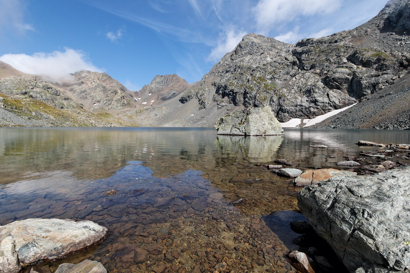
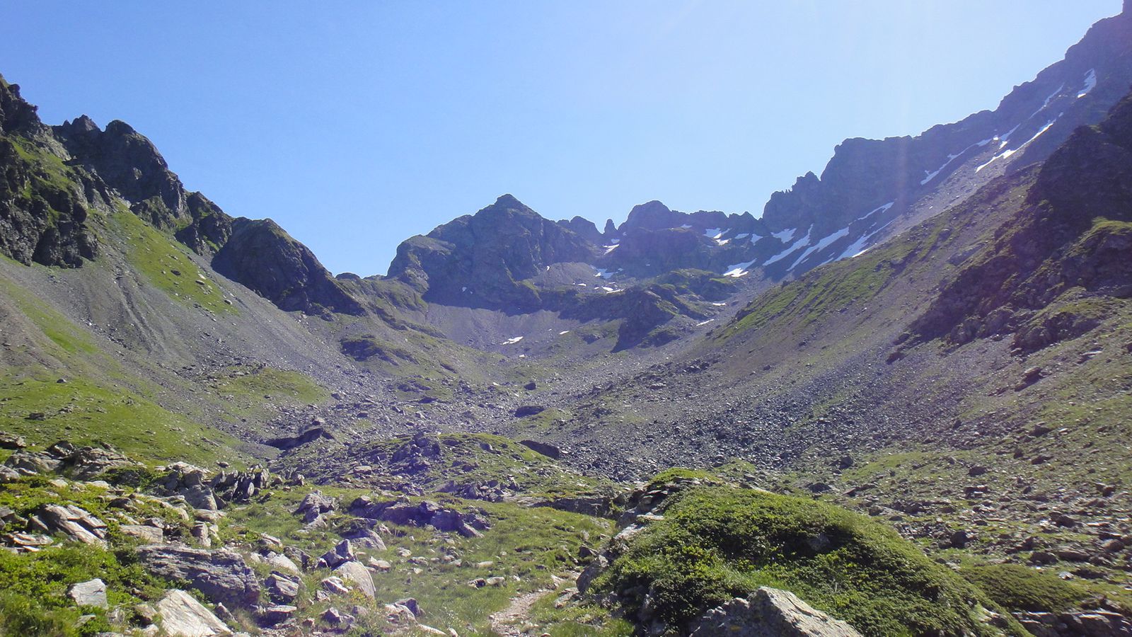
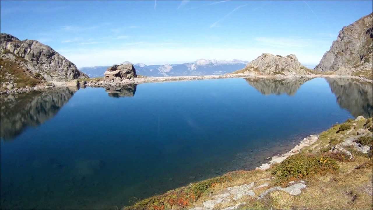
Here is a round trip hike to one of the most beautiful lakes in the Belledonne massif, at over 1,900 meters above sea level. The walk takes place in a mineral environment, and offers beautiful views of the Chartreuse massif.

Already more than 200,000 users!
Uphill
694m
Highest point
1999m
Downhill
694m
Lowest point
1375m
Route type
There and back
Download the map on your smartphone to save battery and rest assured to always keep access to the route, even without signal.
Includes IGN France and Swisstopo.
I indicate whether dogs are allowed or prohibited on this trail
From May to October
6 ratings
Une très belle balade, le panaroma une fois au lac est superbe. Cependant, la descente n’est pas très agréable, longue, petits sentiers où l’on doit beaucoup se croiser.
Also enjoy:

Already more than 200,000 users!