Uphill
549m
Length
11km
Duration
4h
Elev gain
549m
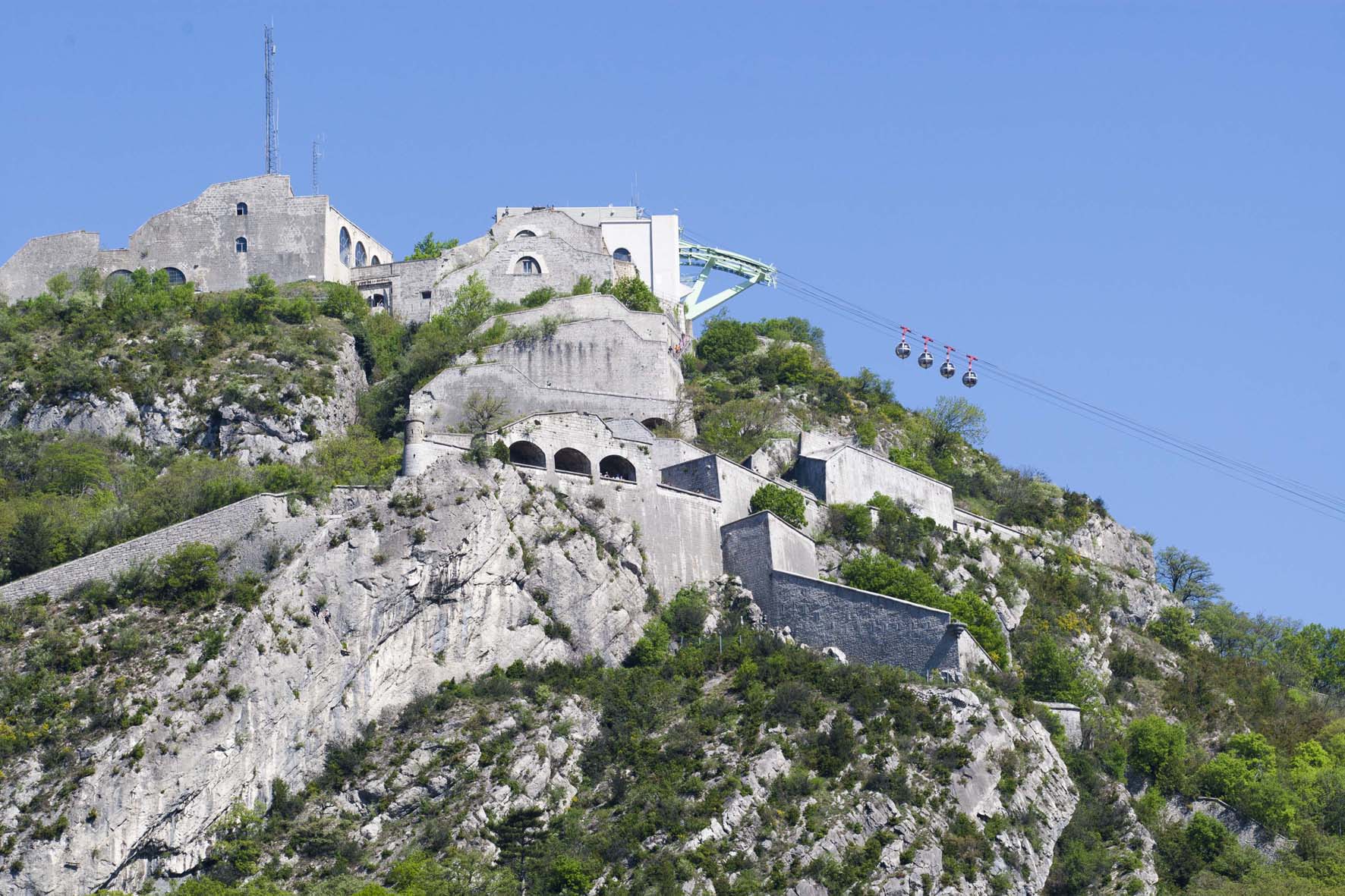
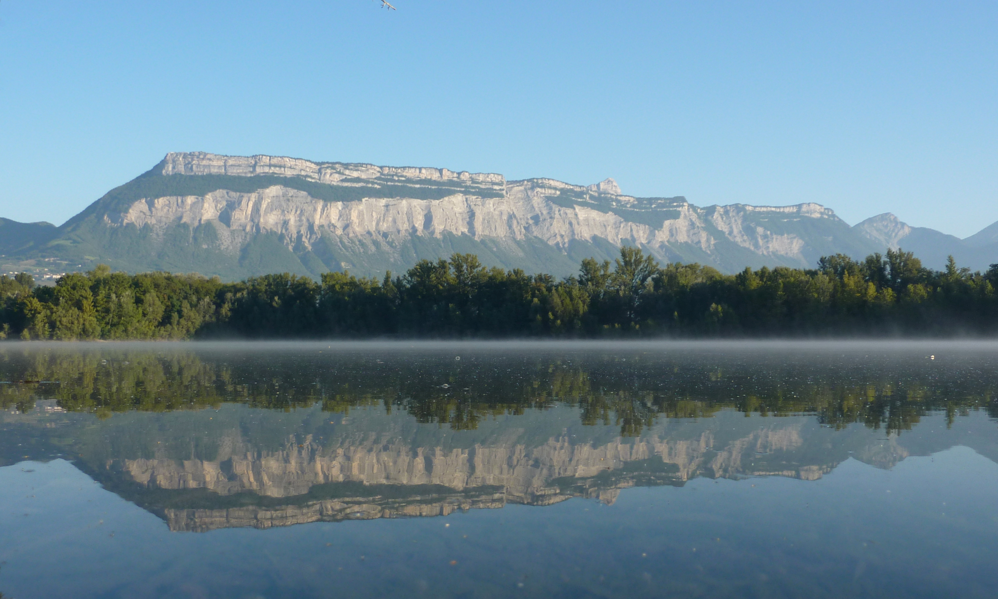
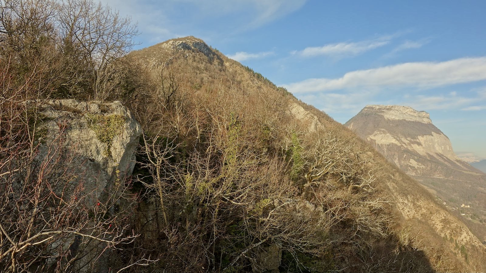
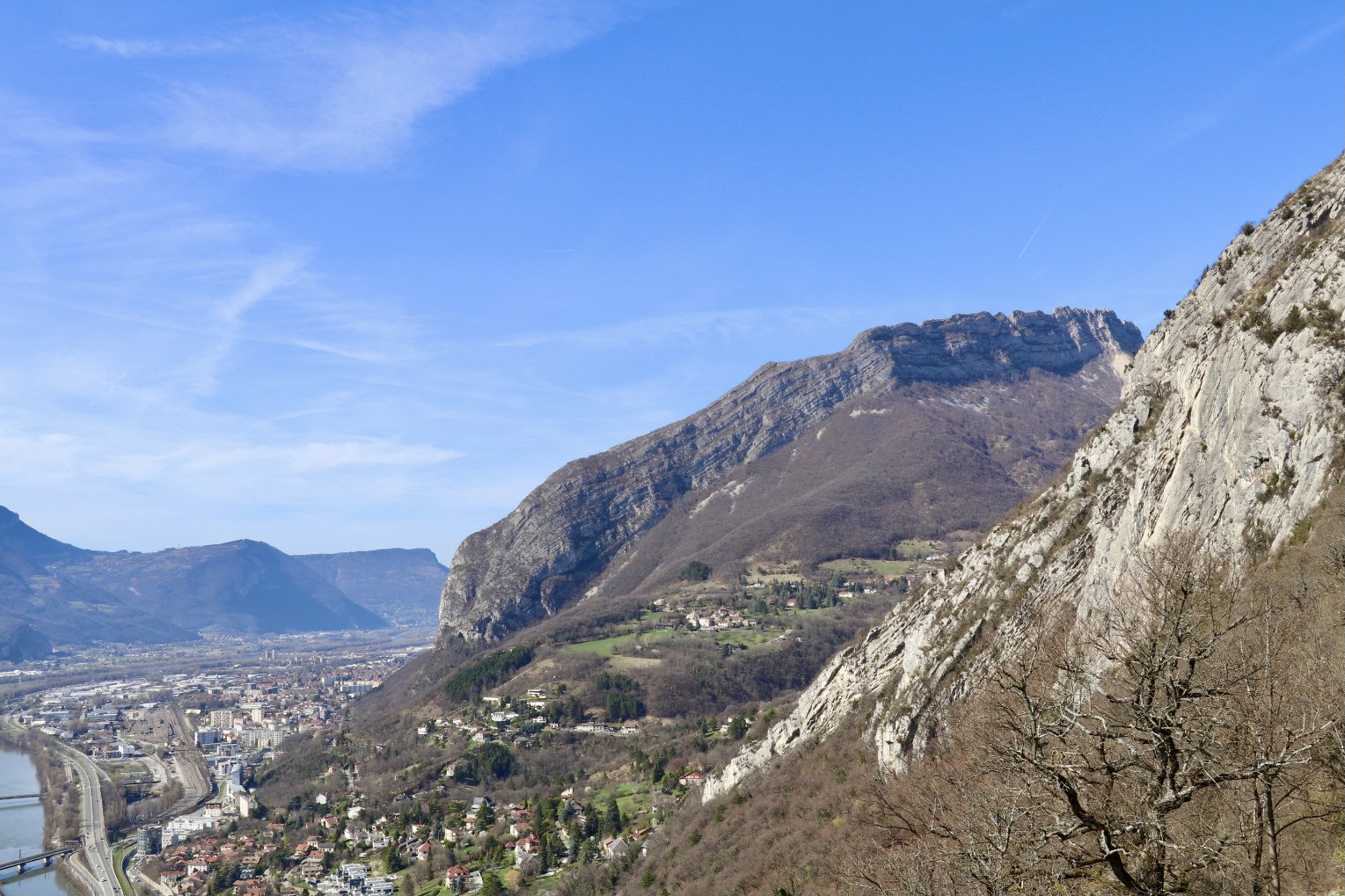
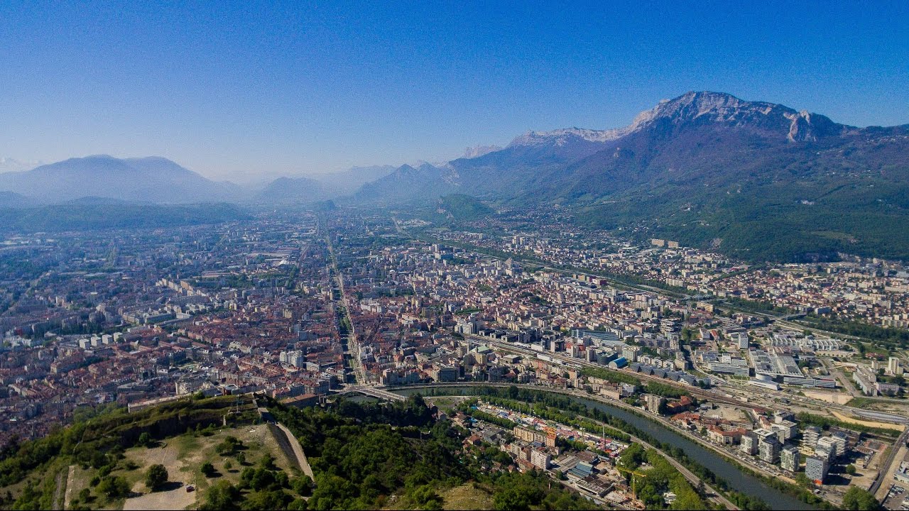
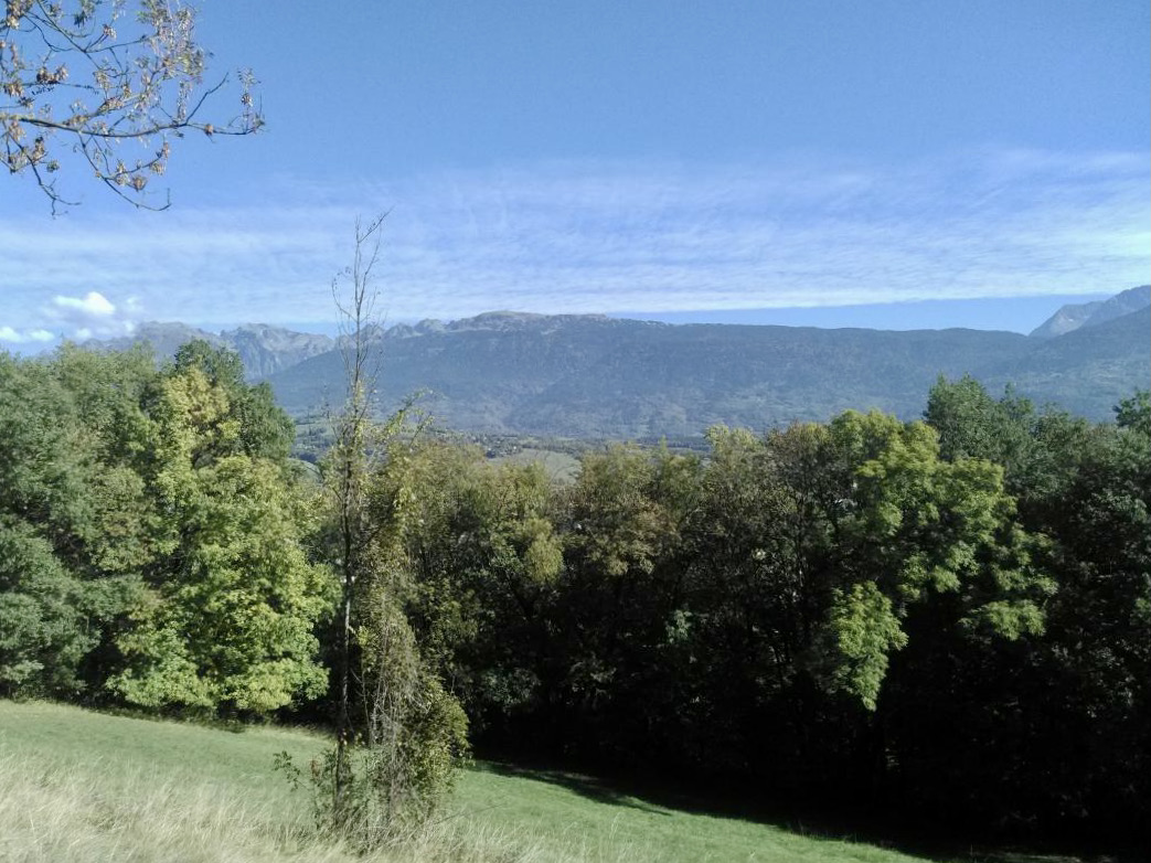
Departing from Eybens, this loop trail takes place on the Quatre Seigneurs hill. The path is mainly in the forest, but also offers some pretty panoramas over the Grenoble area.

Already more than 200,000 users!
Uphill
549m
Highest point
760m
Downhill
549m
Lowest point
253m
Route type
Loop
Download the map on your smartphone to save battery and rest assured to always keep access to the route, even without signal.
Includes IGN France and Swisstopo.
I indicate whether dogs are allowed or prohibited on this trail
All year
0 ratings
Also enjoy:

Already more than 200,000 users!