Uphill
1116m
Length
8km
Duration
7h
Elev gain
1116m
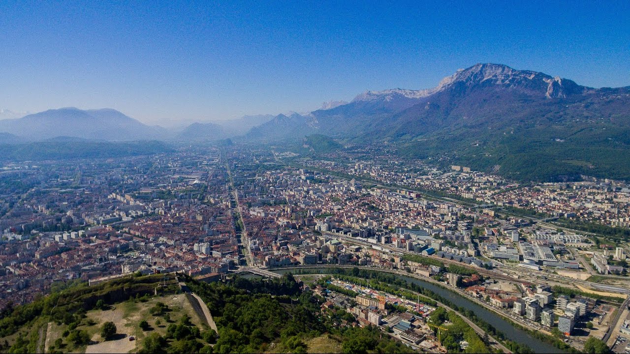
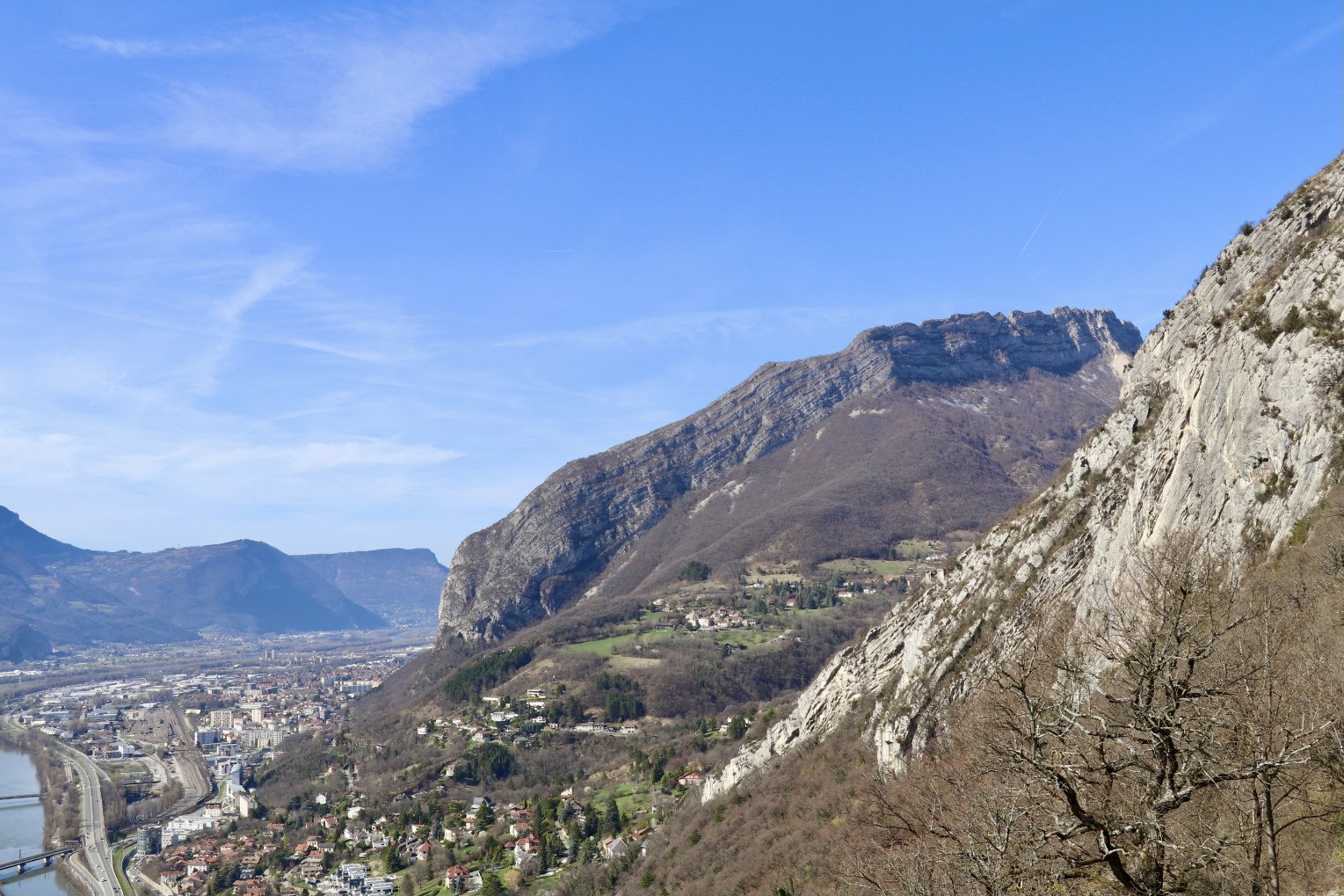
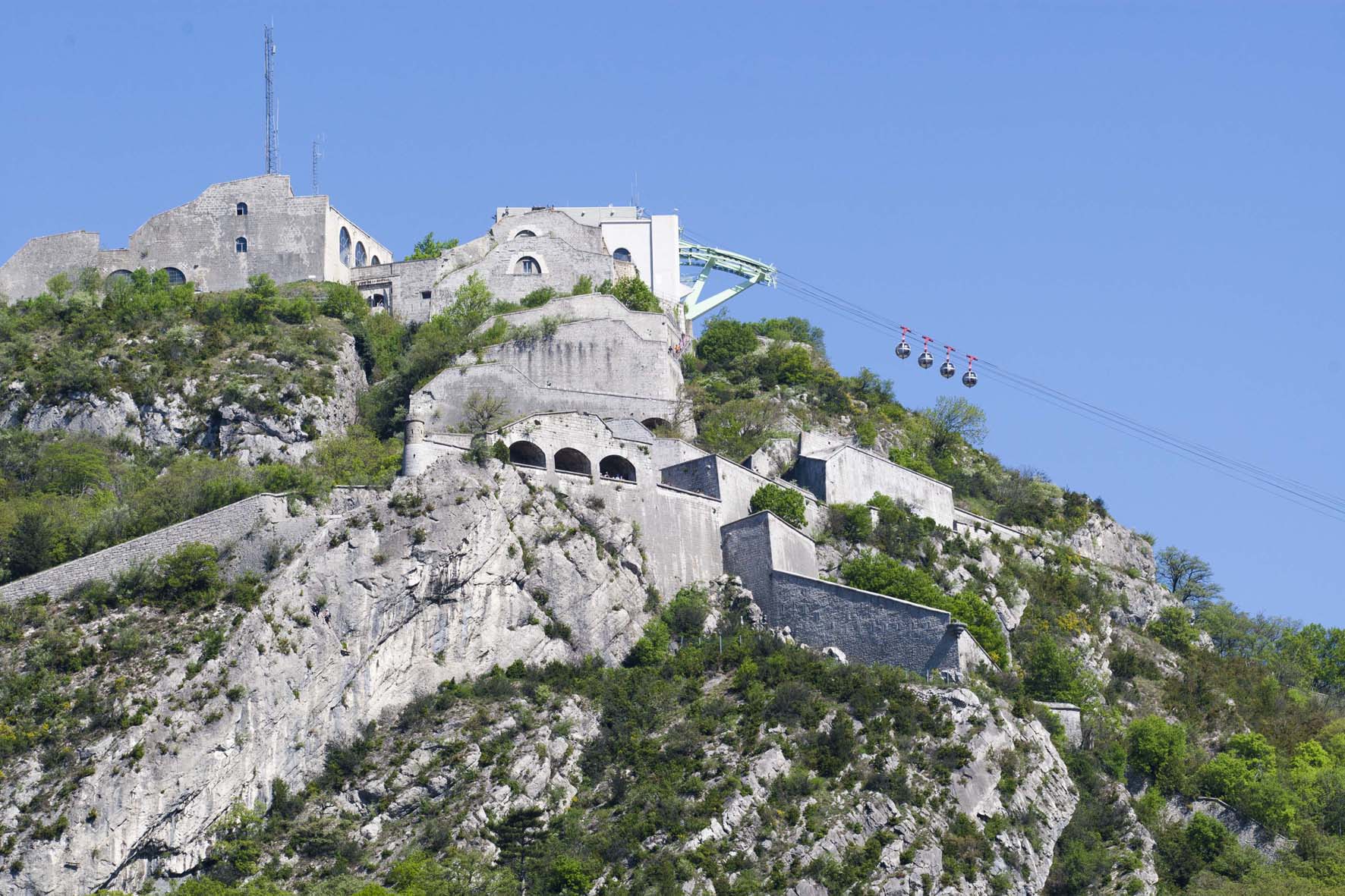
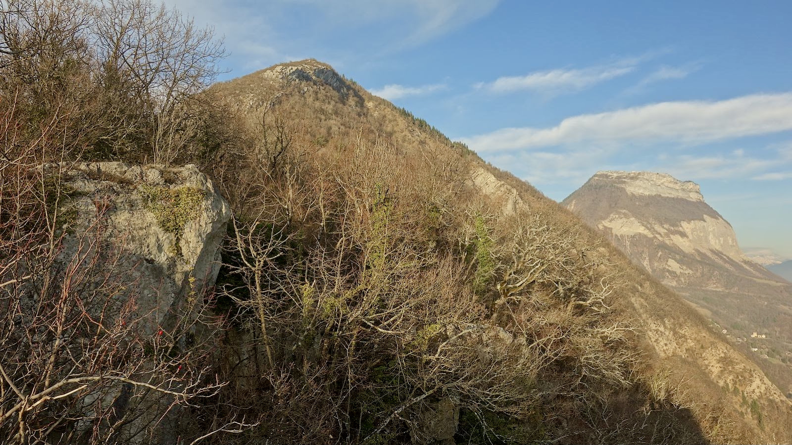
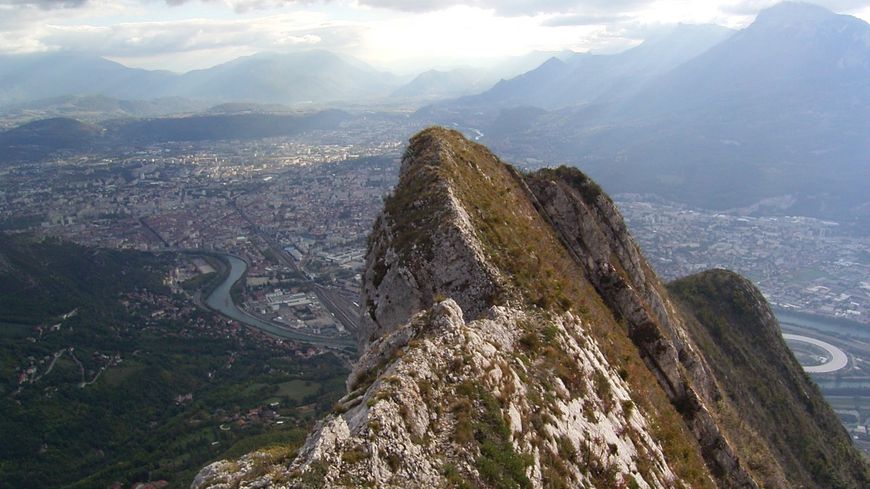
Please note: this is a very difficult ascent with many climbing sections. The panorama of Grenoble and the surrounding mountains is superb.

Already more than 200,000 users!
Uphill
1116m
Highest point
1227m
Downhill
1116m
Lowest point
452m
Route type
Loop
Download the map on your smartphone to save battery and rest assured to always keep access to the route, even without signal.
Includes IGN France and Swisstopo.
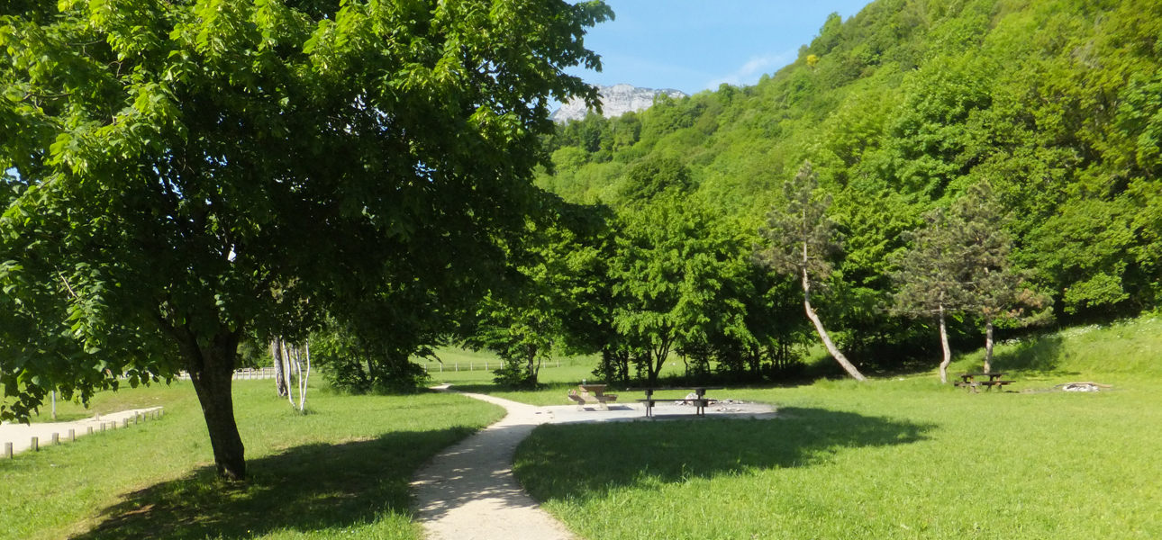
Limited parking at the hike starting point.
Nearby bus stop is Narbonne.
I indicate whether dogs are allowed or prohibited on this trail
Can be difficult in Winter
0 ratings
Also enjoy:

Already more than 200,000 users!