Uphill
980m
France > Auvergne-Rhône-Alpes > Isère > Vercors Regional Natural Park
Length
12km
Duration
6h30min
Elev gain
980m
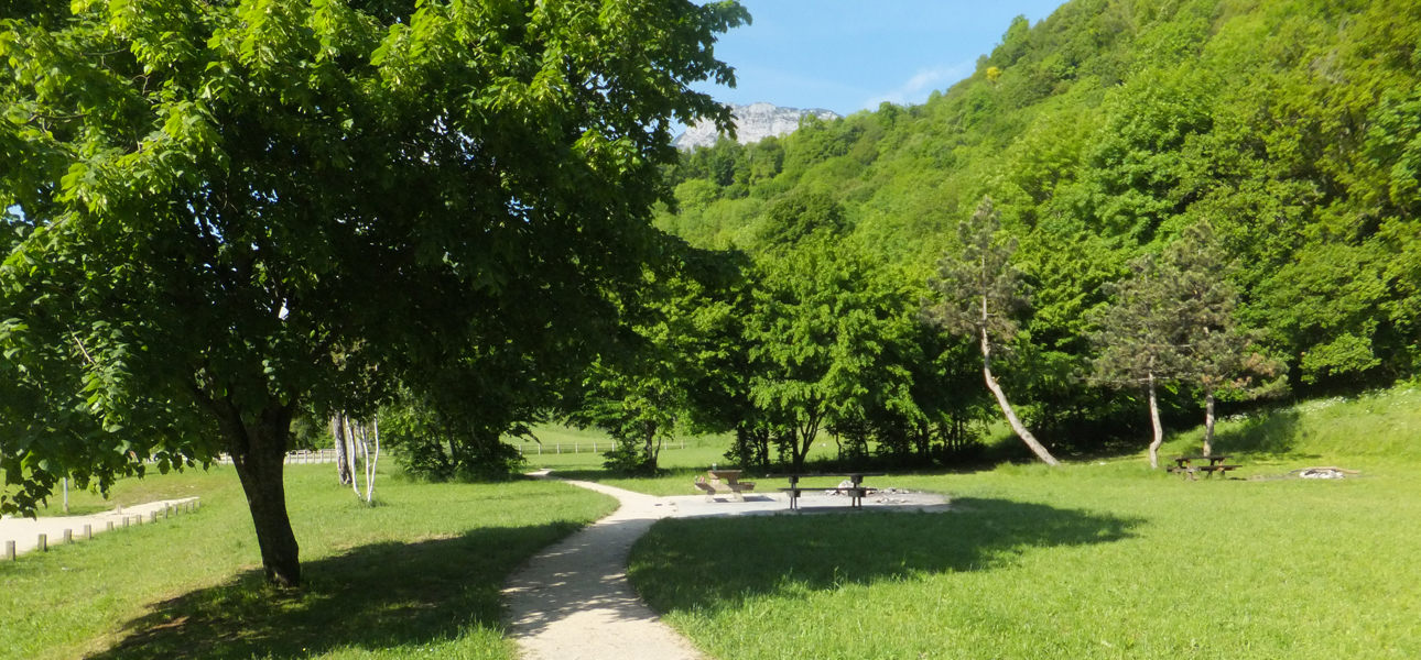
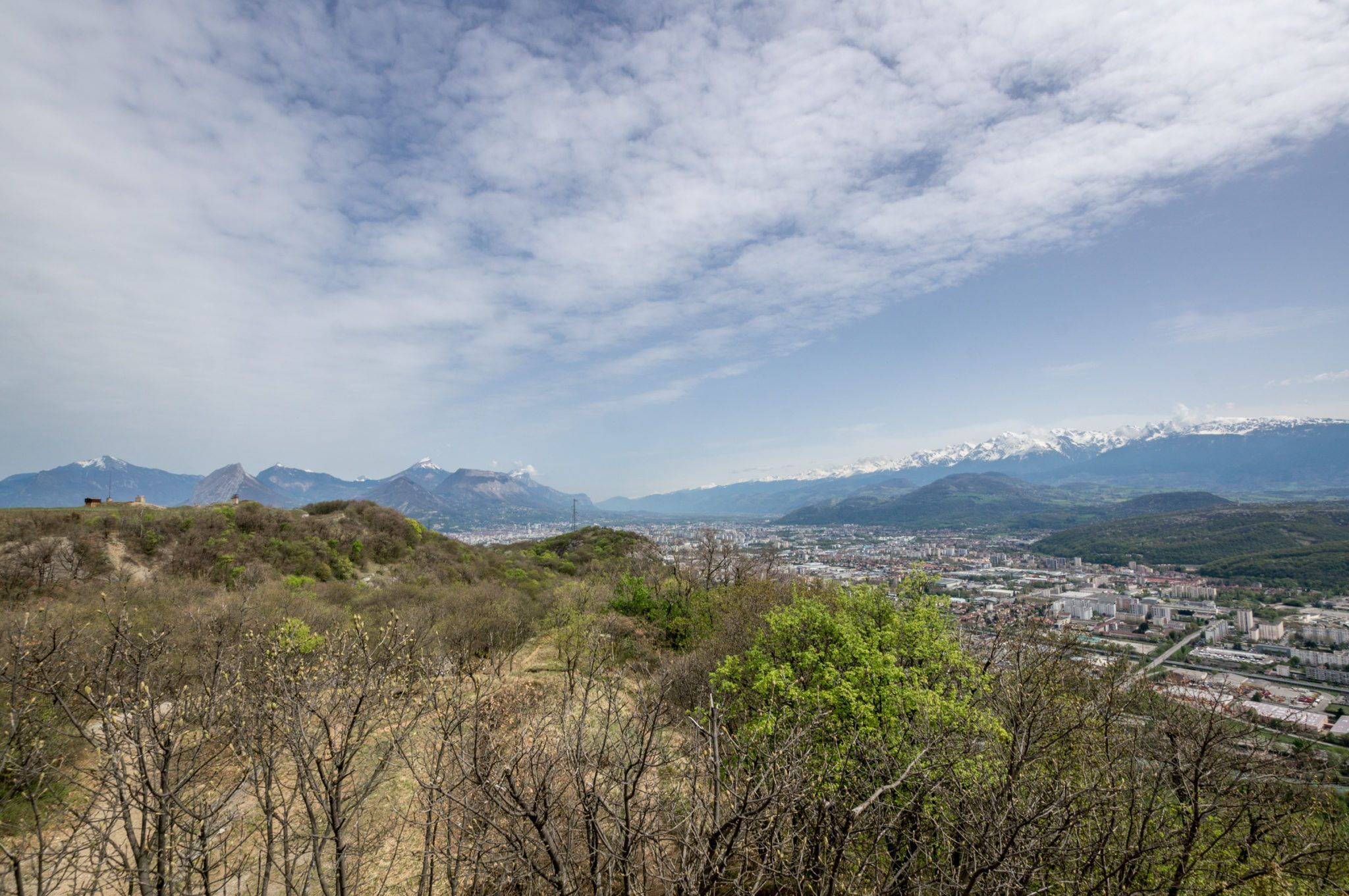
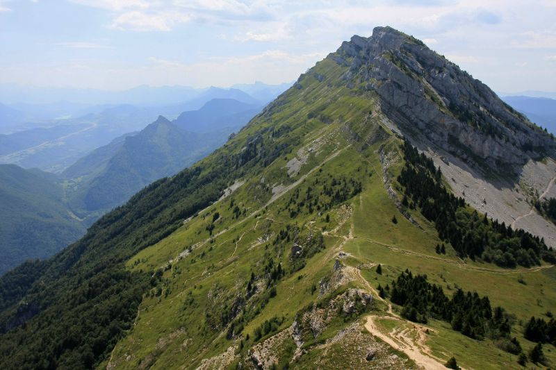
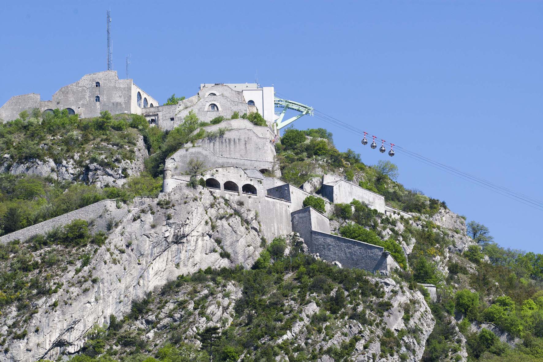
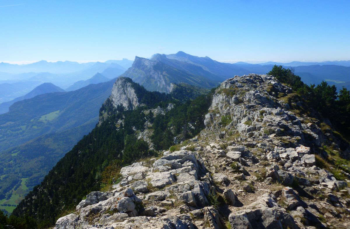
Le Moucherotte is a classic hike for Grenoble inhabitants, offering a bird's eye view of the city. It is possible to reach the summit via a loop trail starting from Saint-Nizier-du-Moucherotte. An orientation table allows you to identify the key elements of the panorama, from the Massif Central to Mont-Blanc.

Already more than 200,000 users!
Uphill
980m
Highest point
1872m
Downhill
980m
Lowest point
1049m
Route type
Loop
Download the map on your smartphone to save battery and rest assured to always keep access to the route, even without signal.
Includes IGN France and Swisstopo.
I indicate whether dogs are allowed or prohibited on this trail
From May to October
2 ratings
Also enjoy:

Already more than 200,000 users!