Uphill
498m

France > Auvergne-Rhône-Alpes > Isère > Vercors Regional Natural Park
Length
7km
Duration
3h30min
Elev gain
498m
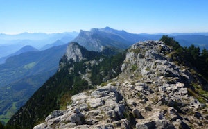
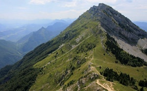
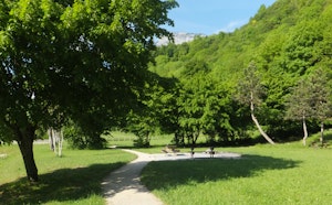
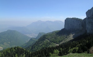
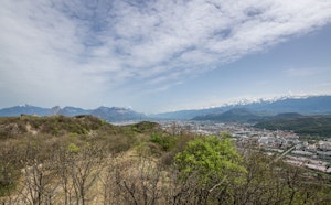
Nice loop trail starting in the gorges du Brouillard up to the waterfall of the same name, then progressing to Bec de l'Aigle and the Gorges du Furon. Varied and pleasant landscapes, mostly in the forest.

Already more than 200,000 users!
Uphill
498m
Highest point
1138m
Downhill
498m
Lowest point
899m
Route type
Loop
Download the map on your smartphone to save battery and rest assured to always keep access to the route, even without signal.
Includes IGN France and Swisstopo.
Authorised
Can be difficult in Winter
4 ratings
Also enjoy:

Already more than 200,000 users!