Uphill
387m
France > Auvergne-Rhône-Alpes > Isère > Vercors Regional Natural Park
Length
9km
Duration
3h30min
Elev gain
387m
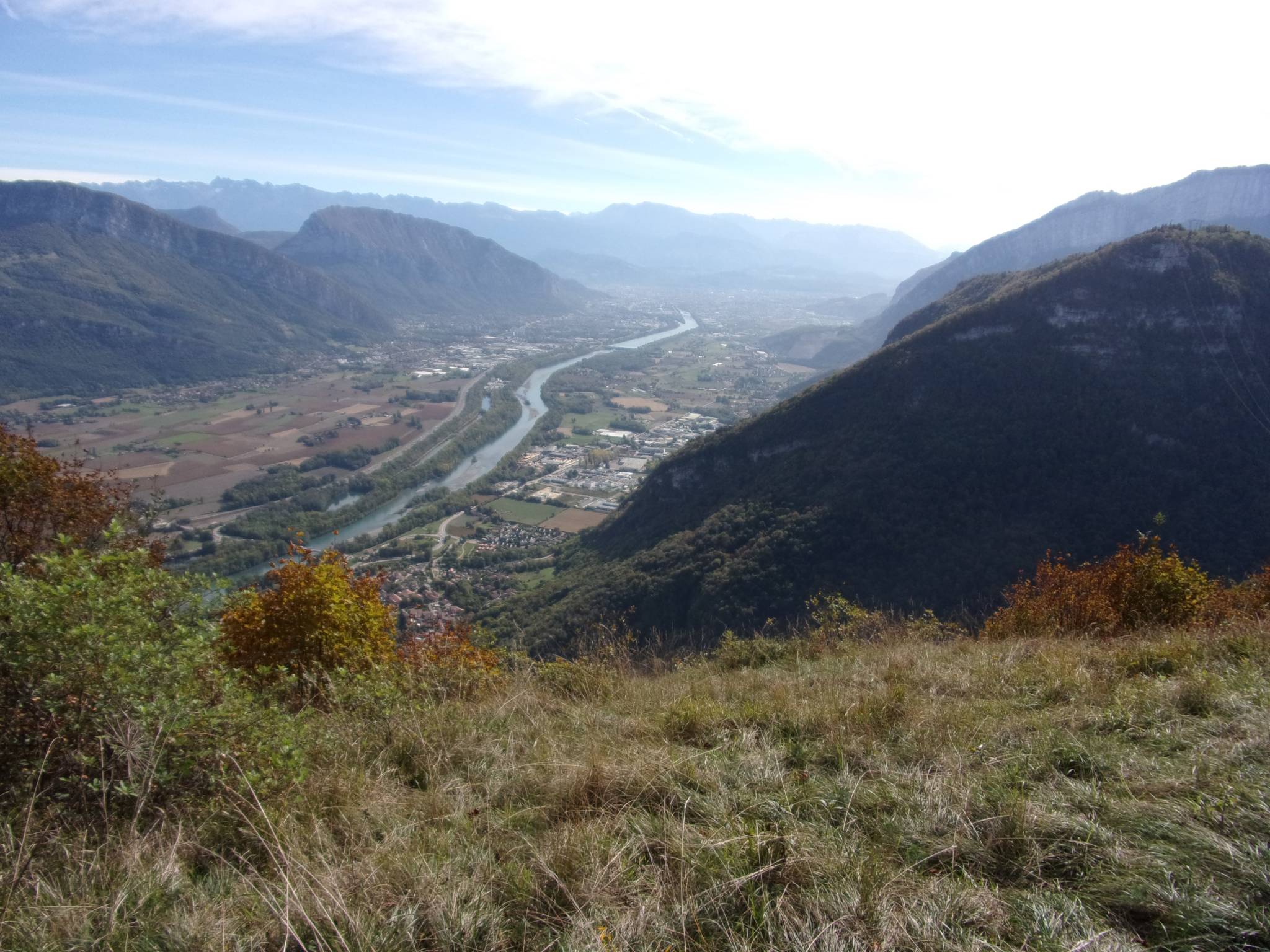
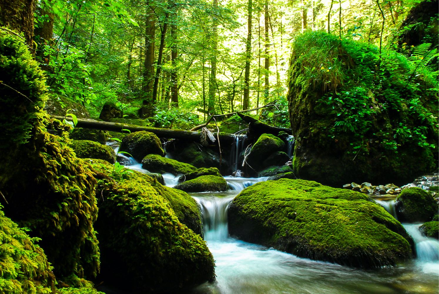
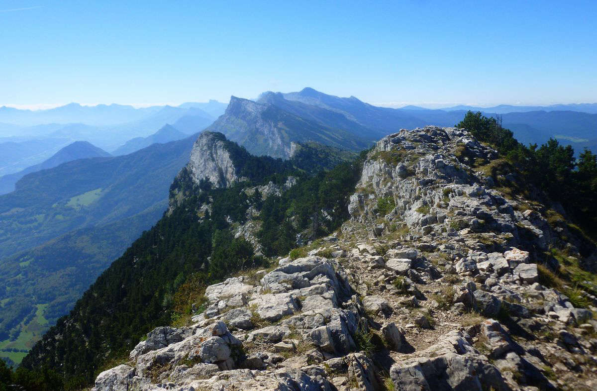
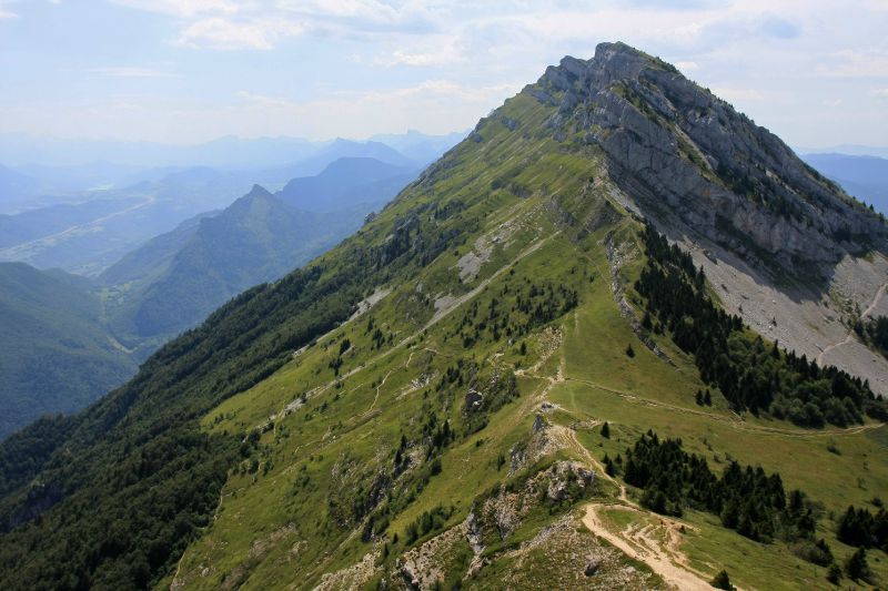
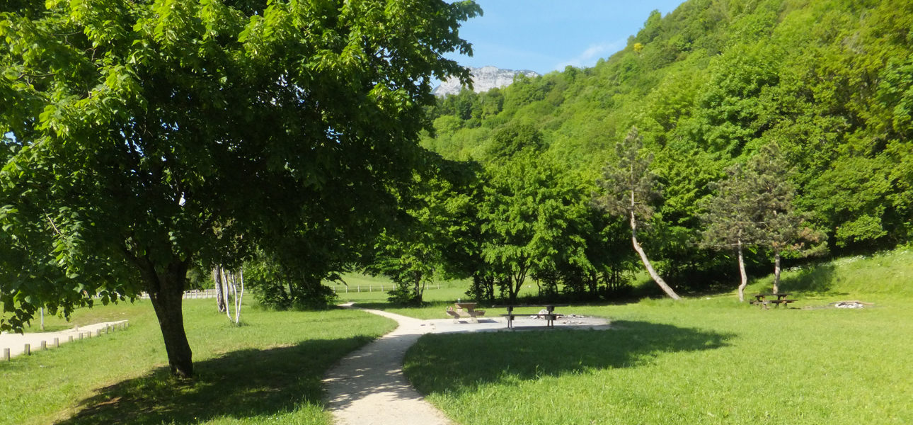
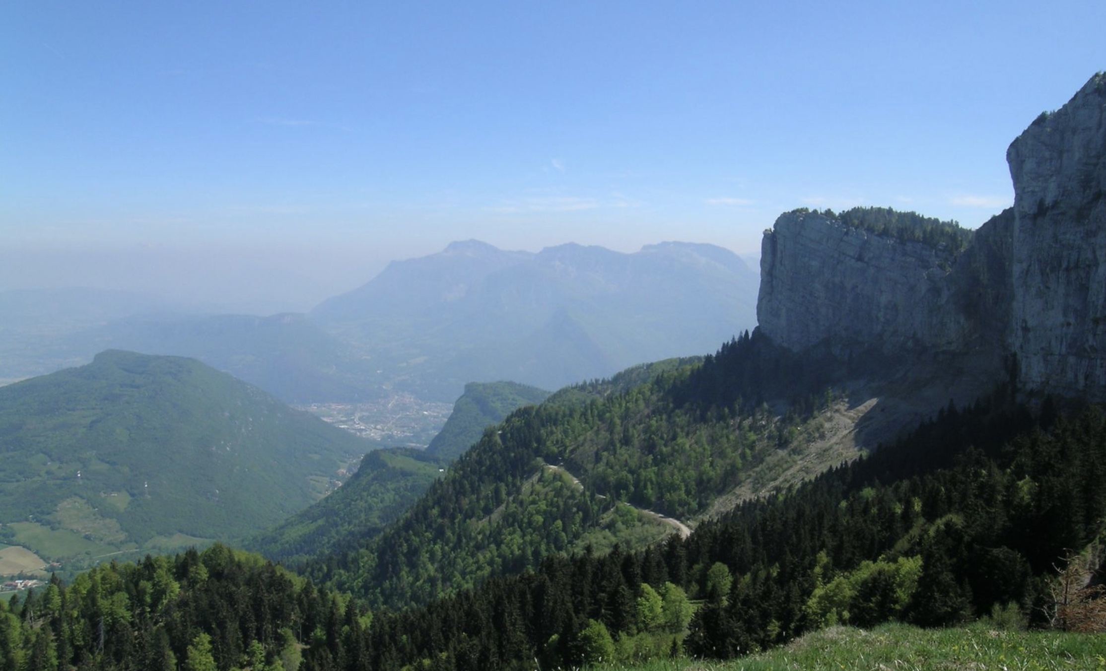
Ascent mainly in the forest, before following the crest of Vercors for a breathtaking view of the Isère valley.

Already more than 200,000 users!
Uphill
387m
Highest point
1559m
Downhill
387m
Lowest point
1280m
Route type
Loop
Download the map on your smartphone to save battery and rest assured to always keep access to the route, even without signal.
Includes IGN France and Swisstopo.
I indicate whether dogs are allowed or prohibited on this trail
Can be difficult in Winter
0 ratings
Also enjoy:

Already more than 200,000 users!