Uphill
229m
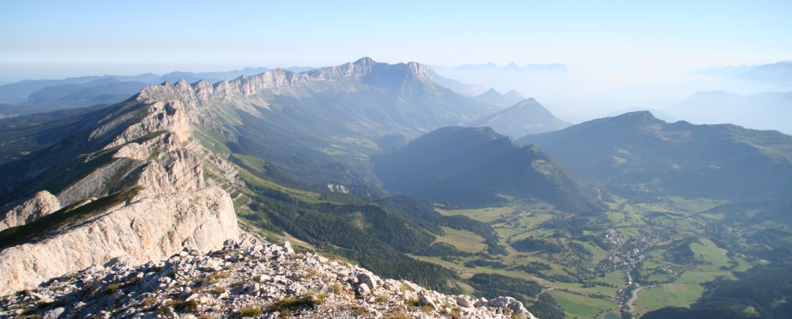
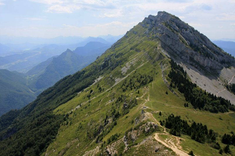
France > Auvergne-Rhône-Alpes > Drôme > Vercors Regional Natural Park
Length
5km
Duration
2h
Elev gain
229m
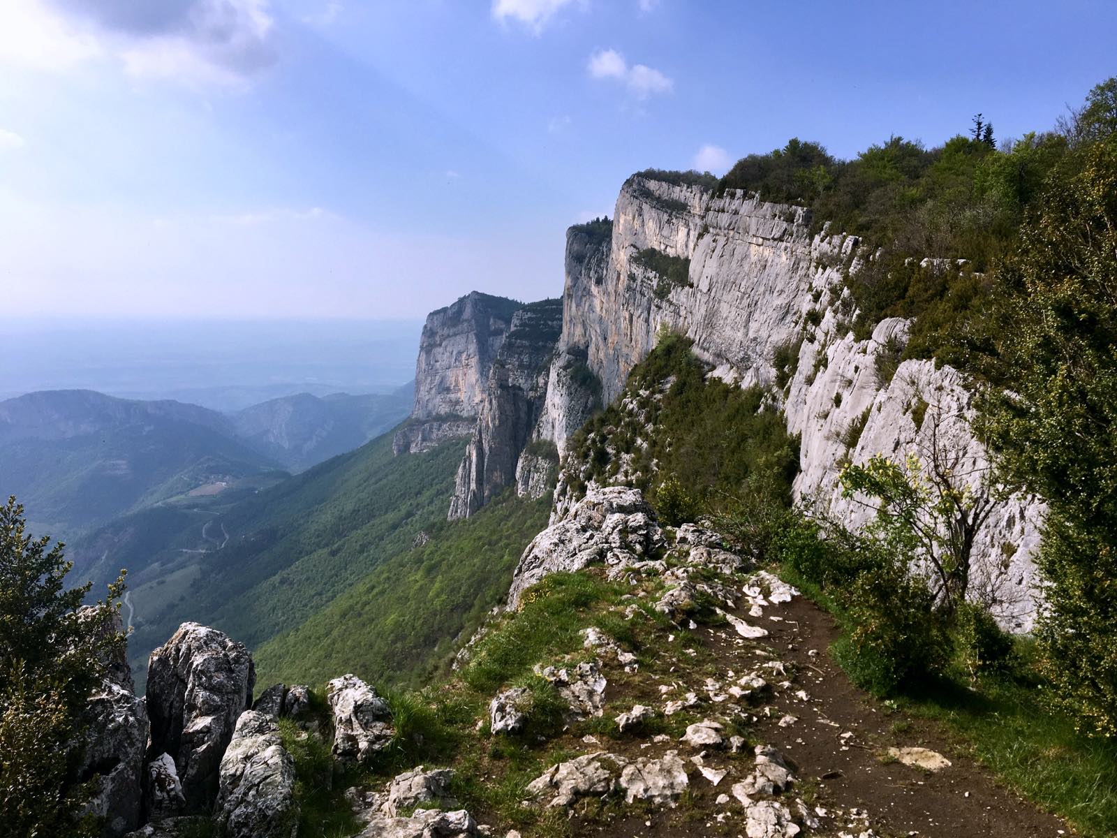
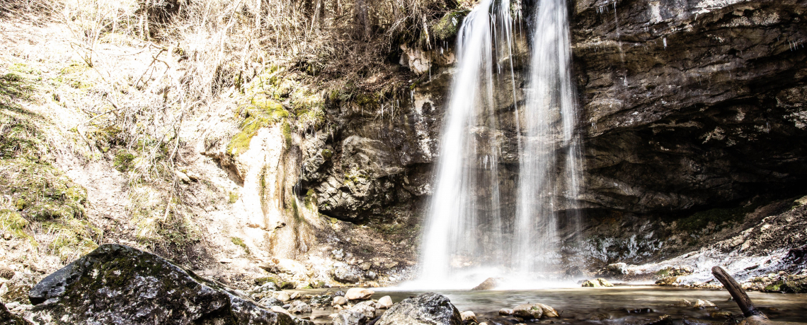
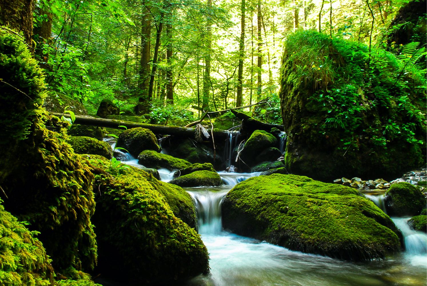
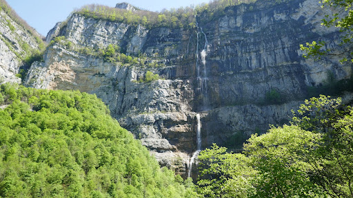
Itinerary to discover the Marquis mill waterfall, a waterfall flowing from a cliff almost 400 meters high. The trail then passes through the Gauls cave and the Devil's Gate, a natural limestone arch.
Note that the path sometimes passes near vertiginous cliffs, which requires caution, especially with children.

Already more than 200,000 users!
Uphill
229m
Highest point
935m
Downhill
229m
Lowest point
785m
Route type
Loop
Download the map on your smartphone to save battery and rest assured to always keep access to the route, even without signal.
Includes IGN France and Swisstopo.
I indicate whether dogs are allowed or prohibited on this trail
All year
2 ratings
Also enjoy:

Already more than 200,000 users!