Uphill
629m
Length
10km
Duration
4h30min
Elev gain
629m
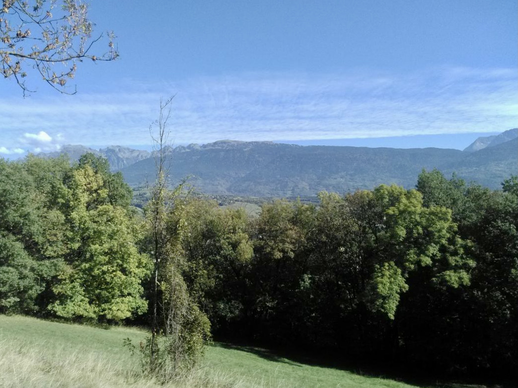
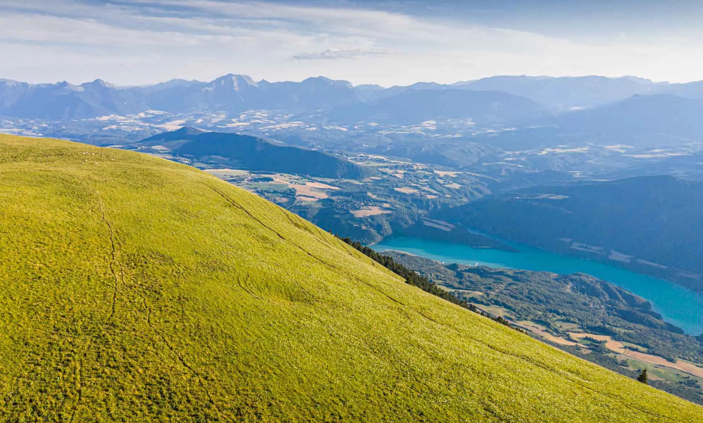
This is a hike mostly in mountain pastures, which a summit offering a 360° panorama over the entire region.

Already more than 200,000 users!
Uphill
629m
Highest point
1769m
Downhill
629m
Lowest point
1268m
Route type
Loop
Download the map on your smartphone to save battery and rest assured to always keep access to the route, even without signal.
Includes IGN France and Swisstopo.
I indicate whether dogs are allowed or prohibited on this trail
From May to October
0 ratings
Also enjoy:

Already more than 200,000 users!