Uphill
549m
Length
9km
Duration
4h
Elev gain
549m
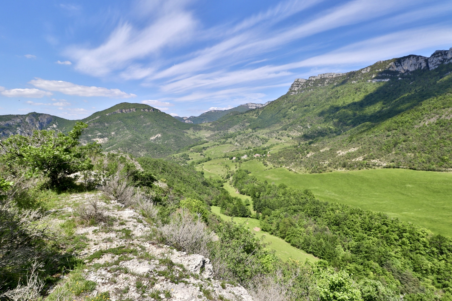
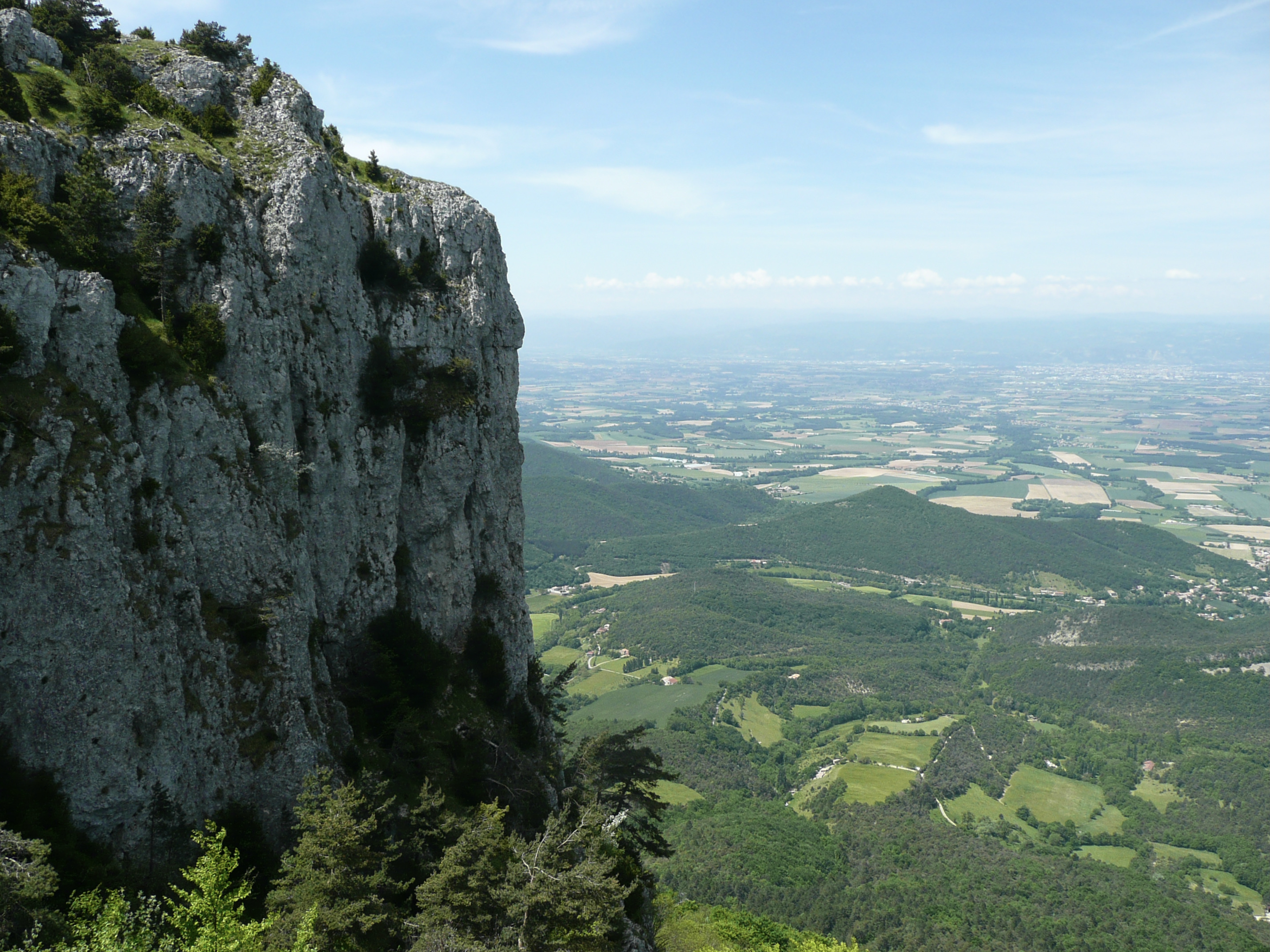
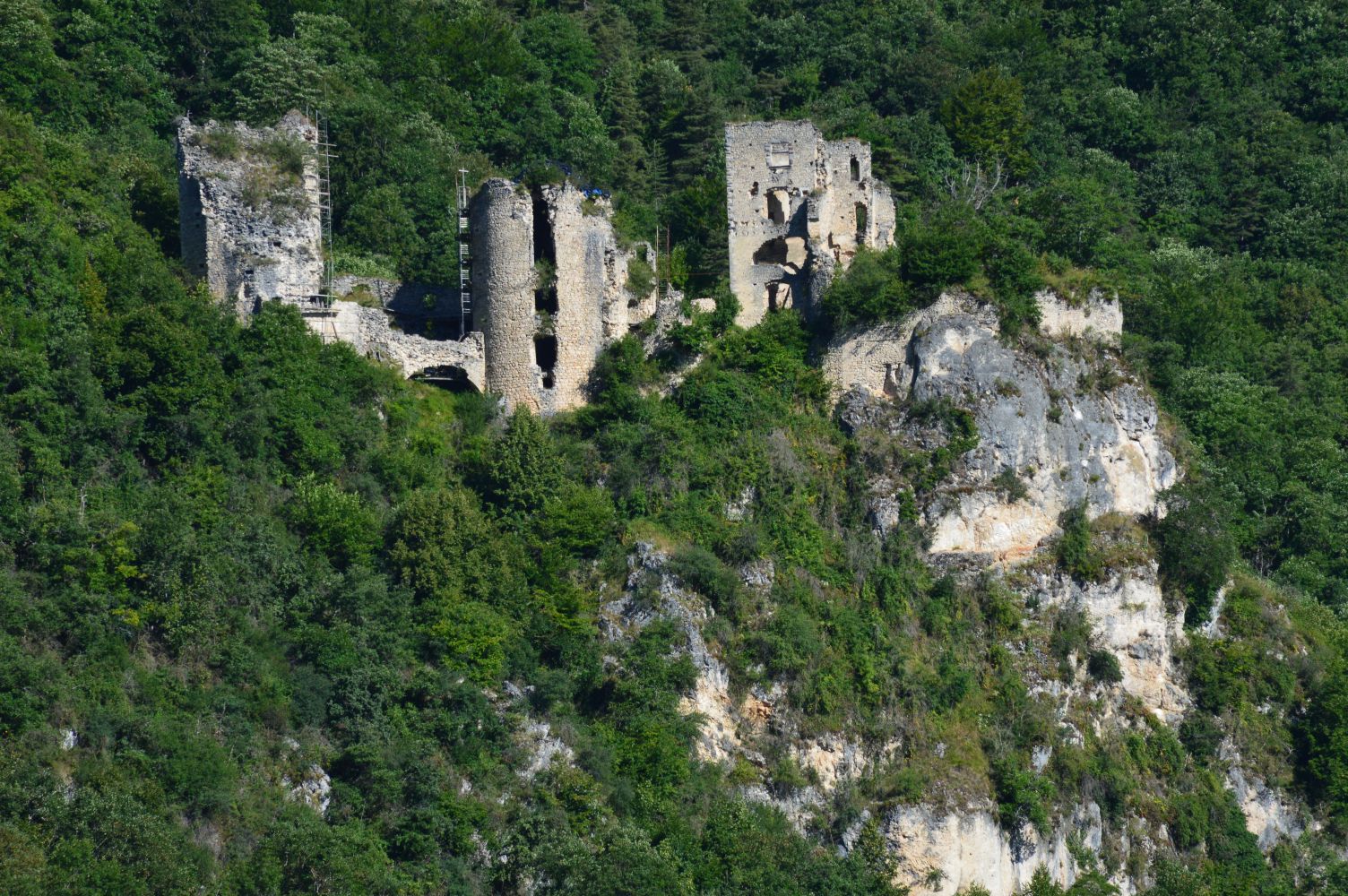
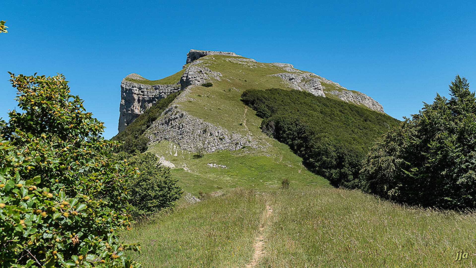
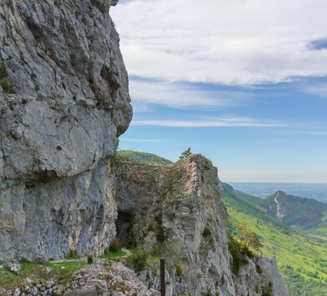
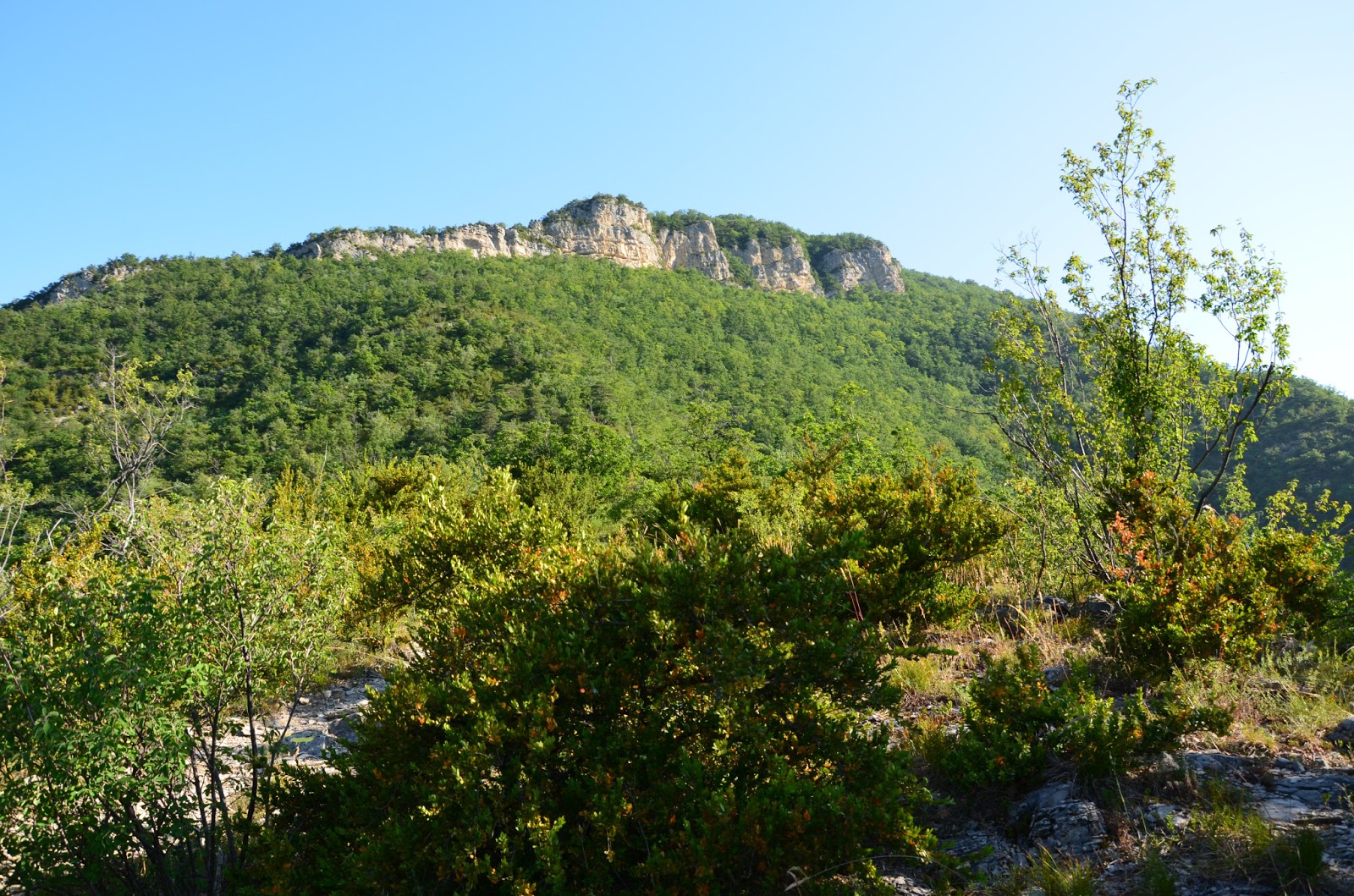
Hike from Rochefort-Samson. The trail has some steep climbs, but the beautiful scenery rewards the effort.
Note that the first 2 kilometers are on the road.

Already more than 200,000 users!
Uphill
549m
Highest point
805m
Downhill
549m
Lowest point
367m
Route type
Loop
Download the map on your smartphone to save battery and rest assured to always keep access to the route, even without signal.
Includes IGN France and Swisstopo.
I indicate whether dogs are allowed or prohibited on this trail
All year
0 ratings
Also enjoy:

Already more than 200,000 users!