Uphill
174m
France > Auvergne-Rhône-Alpes > Drôme > Vercors Regional Natural Park
Length
4km
Duration
1h30min
Elev gain
174m
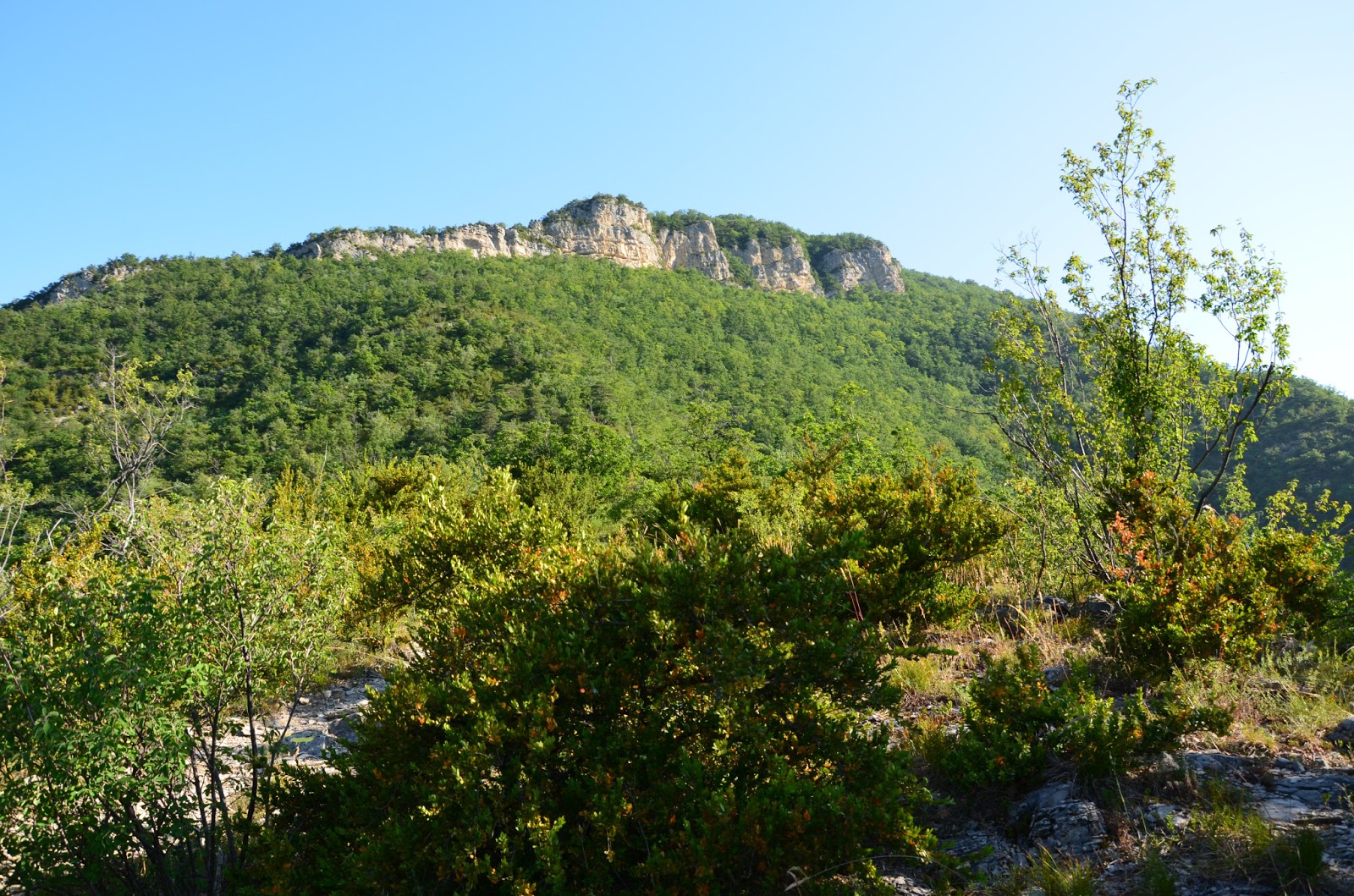
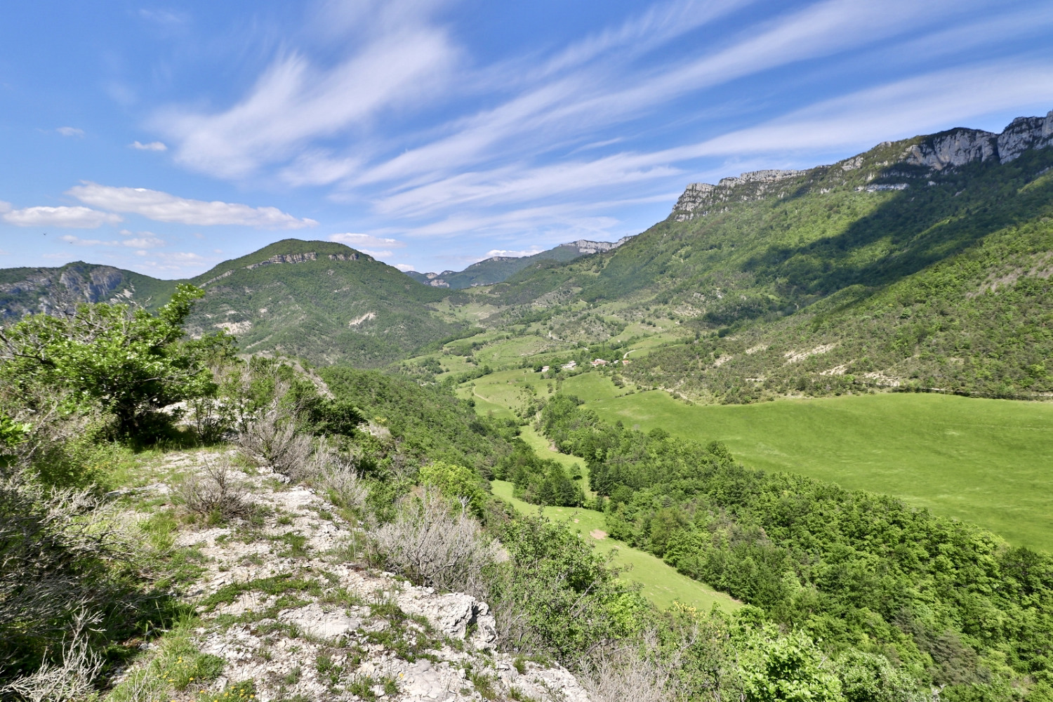
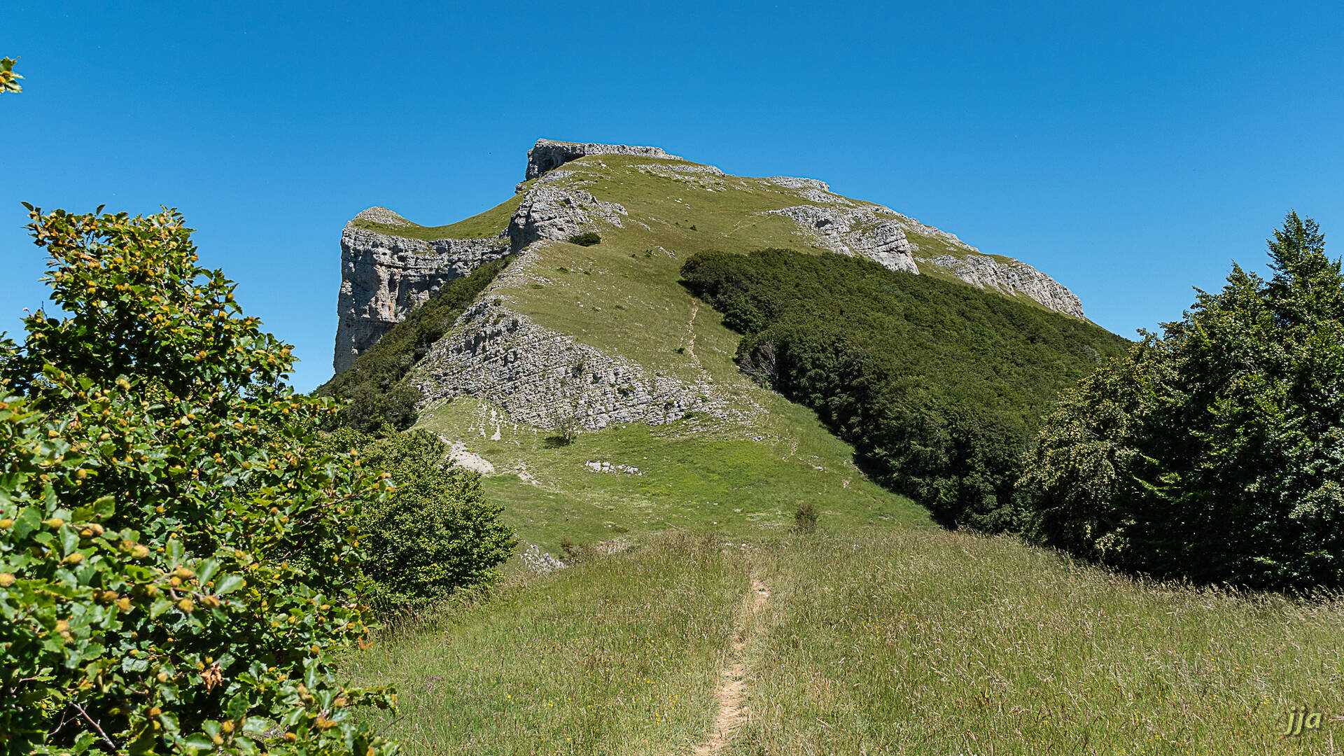
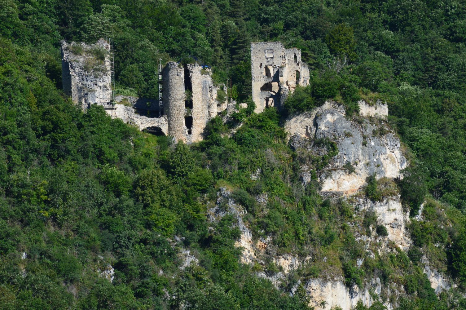
Family-friendly walk in the forest leading to the Château de Rochechinard. From this place steeped in history, the view is superb.
Note that the last kilometer is on the road.

Already more than 200,000 users!
Uphill
174m
Highest point
633m
Downhill
174m
Lowest point
471m
Route type
Loop
Download the map on your smartphone to save battery and rest assured to always keep access to the route, even without signal.
Includes IGN France and Swisstopo.
I indicate whether dogs are allowed or prohibited on this trail
All year
0 ratings
Also enjoy:

Already more than 200,000 users!