Uphill
472m
France > Auvergne-Rhône-Alpes > Puy-de-Dôme > Volcans d'Auvergne Regional Natural Park
Length
17km
Duration
5h30min
Elev gain
472m
This second stage is about the same distance as the first, but has less elevation.
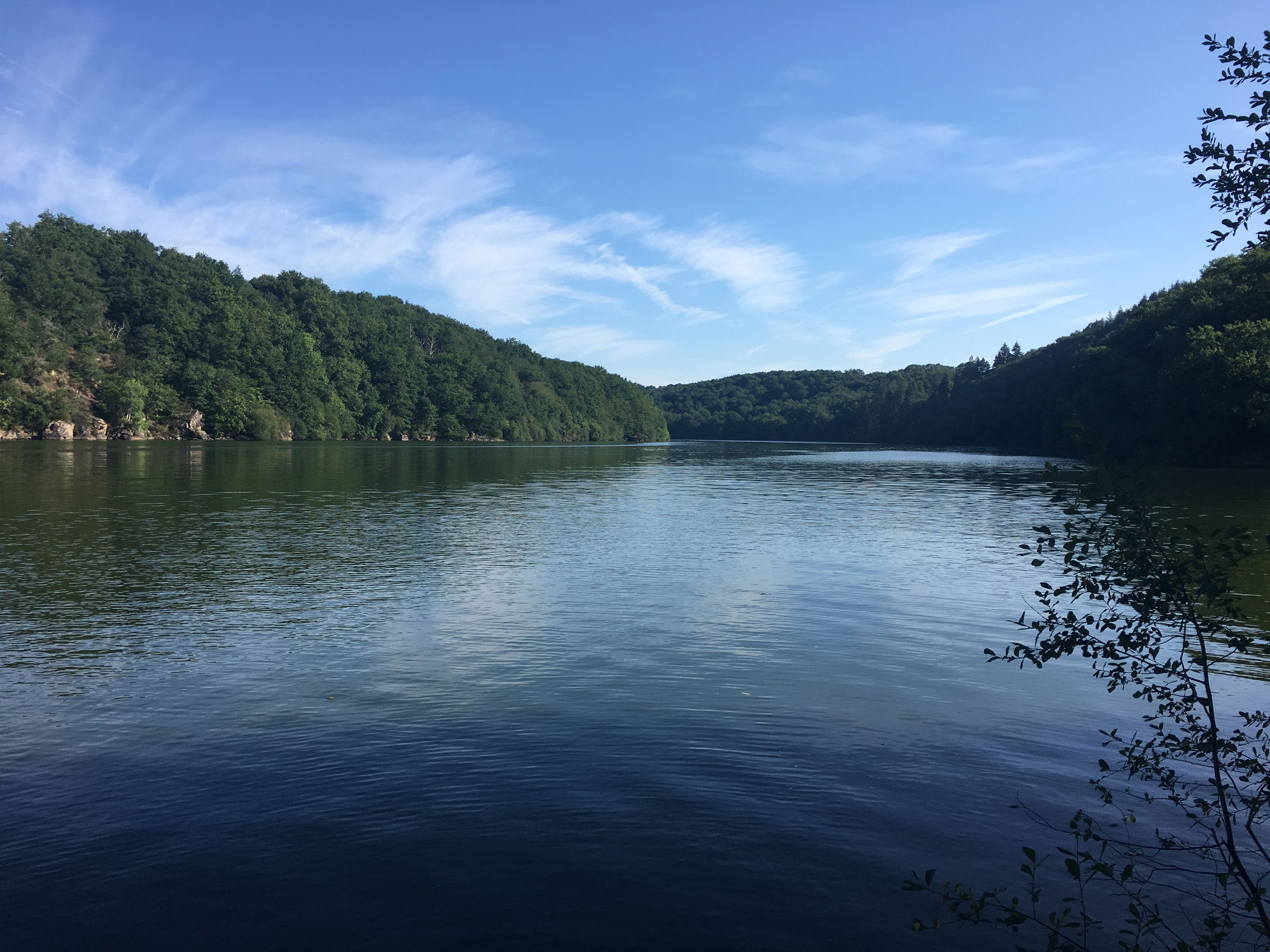
It allows you to walk along the lake of volcanic origin of Chambon, on its shore which has remained wild. The path then rises somewhat in the forest, crossing several rivers, then arrives on a plateau with unobstructed views of the Forez, Cézallier and Sancy mountains.
Finally, this stage ends in the charming medieval and Renaissance village of Besse-et-Saint-Anastaise.

Already more than 200,000 users!
Uphill
472m
Highest point
1235m
Downhill
326m
Lowest point
853m
Route type
One way
Download the map on your smartphone to save battery and rest assured to always keep access to the route, even without signal.
Includes IGN France and Swisstopo.
Several options in Besse-et-Saint-Anastaise. Here is our selection.
I indicate whether dogs are allowed or prohibited on this trail
Can be difficult in Winter
3 ratings
Superbe étape. Beaucoup de forêt au début. Peu de dénivelé. Très grosse montée dans la forêt en milieu de journée. Spot avant la montée sur la gauche pour manger à côté du cours d’eau, ou alors après la très grosse montée.
Also enjoy:

Already more than 200,000 users!


