Uphill
243m
France > Auvergne-Rhône-Alpes > Puy-de-Dôme > Volcans d'Auvergne Regional Natural Park
Length
5km
Duration
2h
Elev gain
243m
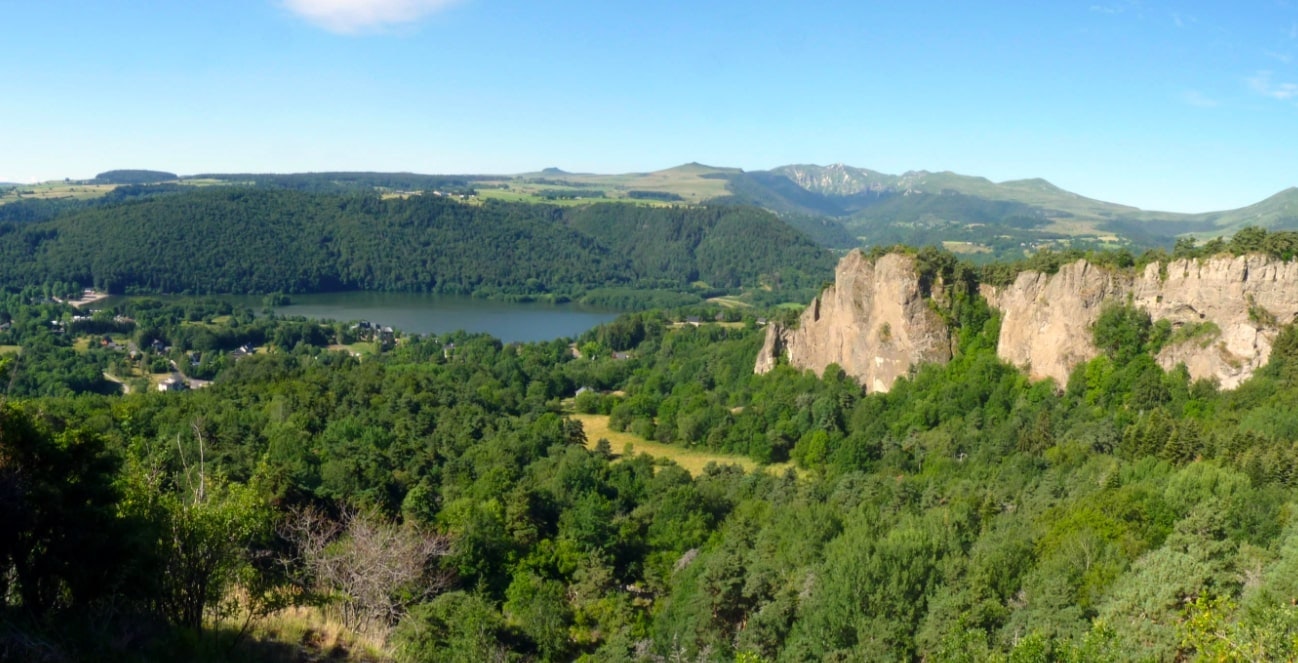
This family hike begins at the edge of Lake Chambon. The path takes the Chemin de l'Horloge and passes very close to the rock of the same name, before reaching the rocky needle of the Dent du Marais. Finally, a belvedere offers a very beautiful view of the lake.

Already more than 200,000 users!
Uphill
243m
Highest point
1071m
Downhill
243m
Lowest point
872m
Route type
There and back
Download the map on your smartphone to save battery and rest assured to always keep access to the route, even without signal.
Includes IGN France and Swisstopo.
I indicate whether dogs are allowed or prohibited on this trail
Can be difficult in Winter
1 rating
Also enjoy:

Already more than 200,000 users!


