Uphill
260m
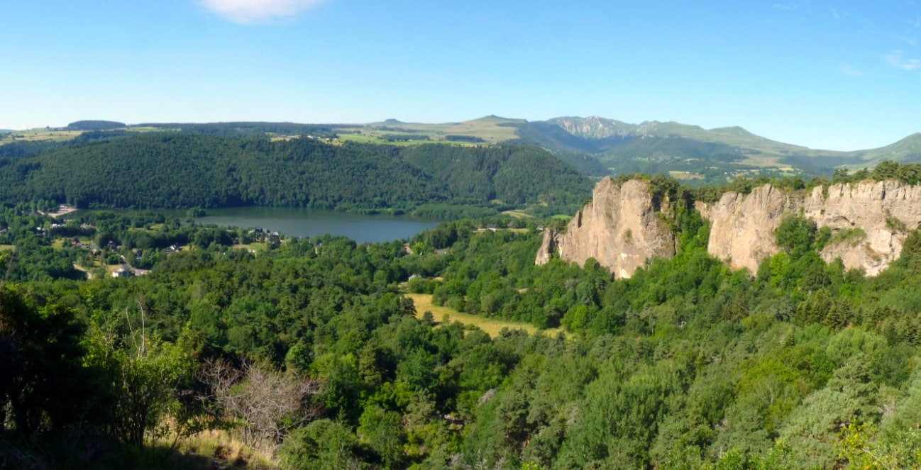
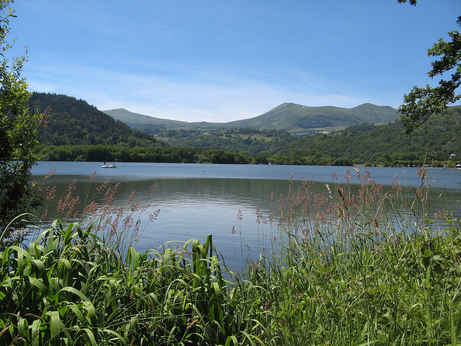
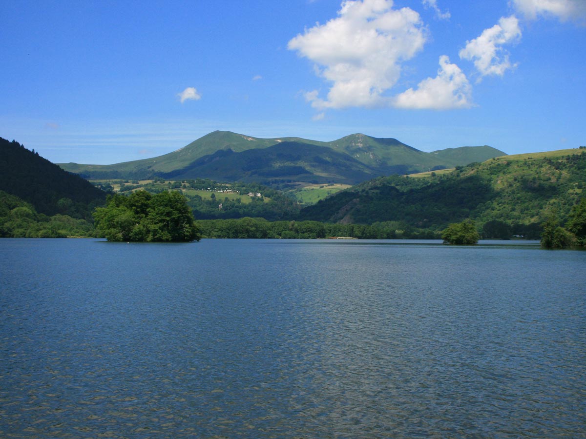
France > Auvergne-Rhône-Alpes > Puy-de-Dôme > Volcans d'Auvergne Regional Natural Park
Length
8km
Duration
3h
Elev gain
260m
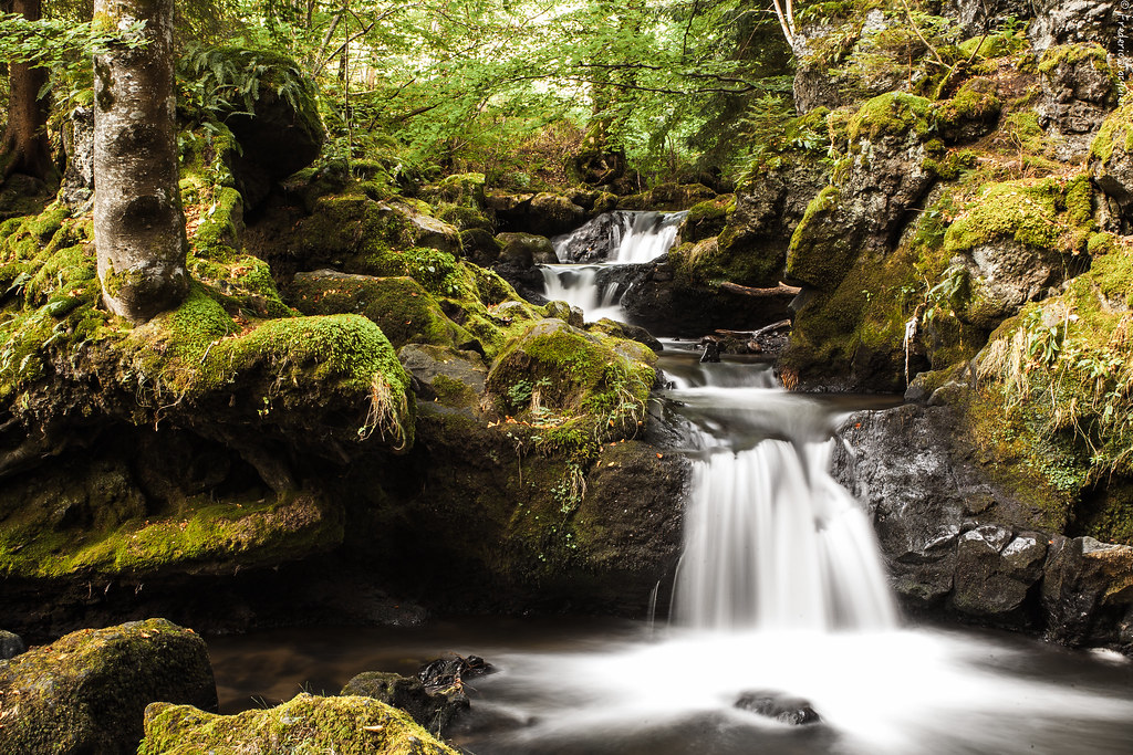
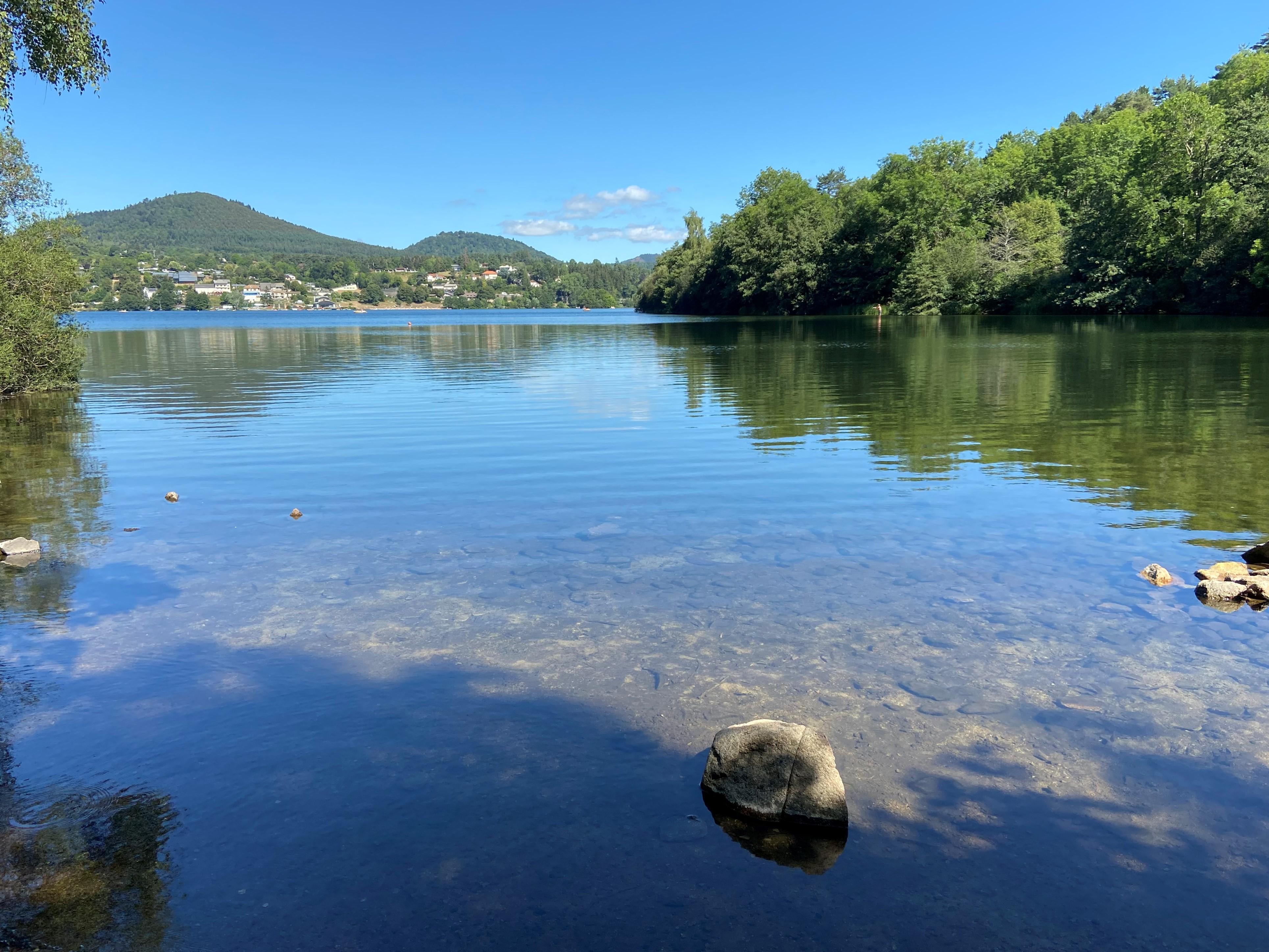
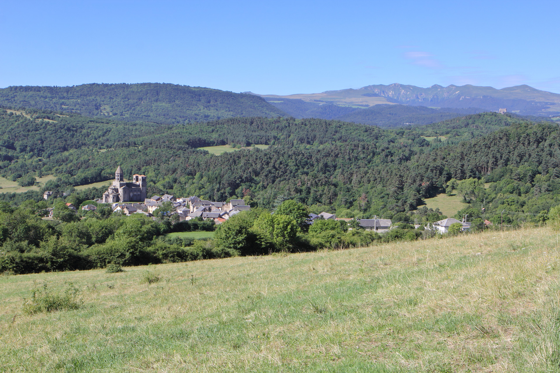
Pleasant hike with varied landscapes. The path makes a loop alternating between forest and meadows.
It should be noted that the route is mainly on wide tracks.

Already more than 200,000 users!
Uphill
260m
Highest point
909m
Downhill
260m
Lowest point
682m
Route type
Loop
Download the map on your smartphone to save battery and rest assured to always keep access to the route, even without signal.
Includes IGN France and Swisstopo.
I indicate whether dogs are allowed or prohibited on this trail
Can be difficult in Winter
0 ratings
Also enjoy:

Already more than 200,000 users!