Uphill
131m
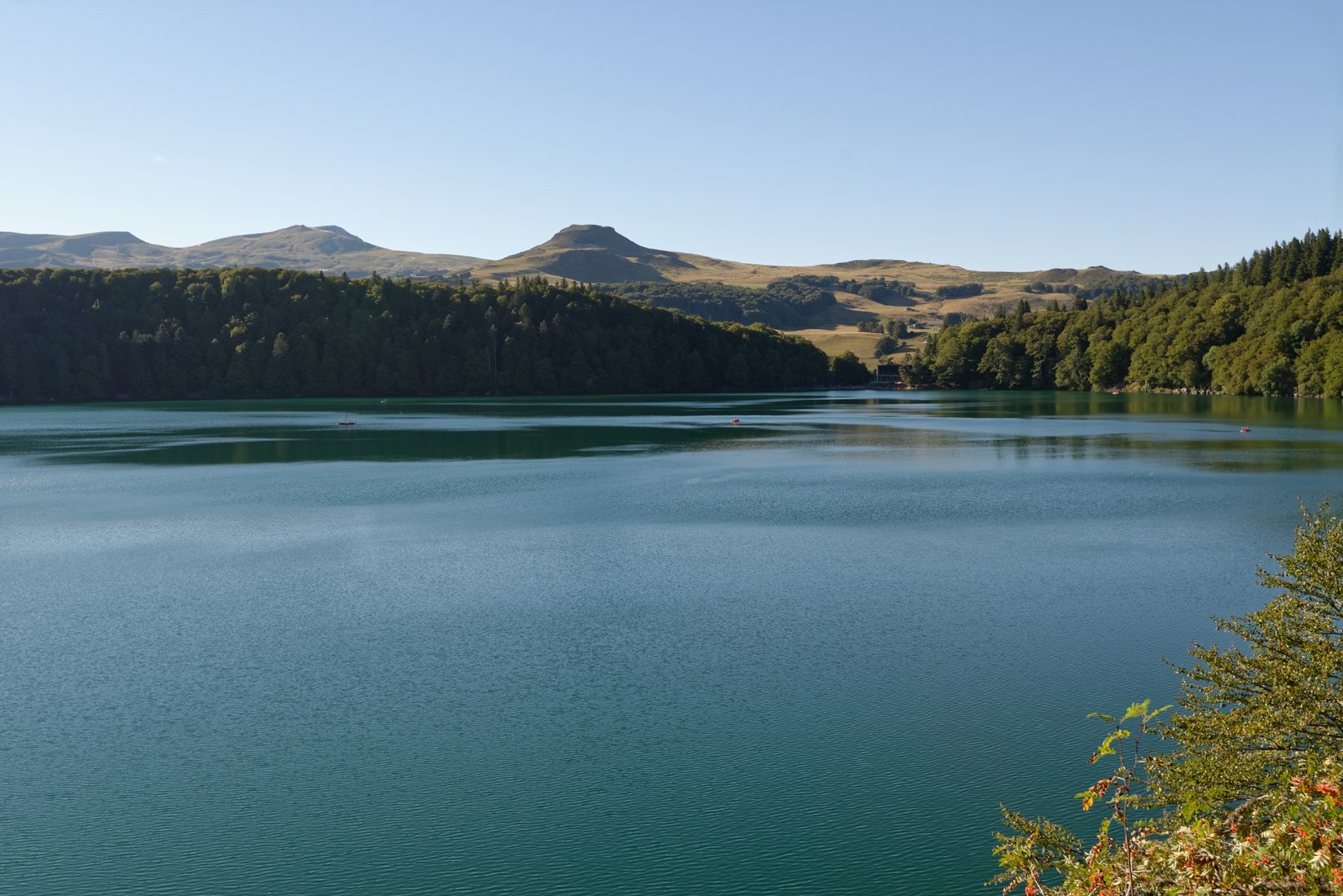
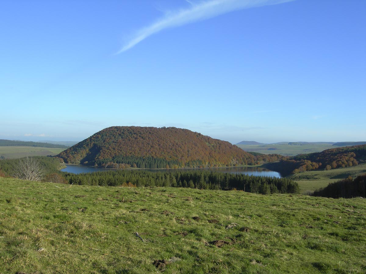
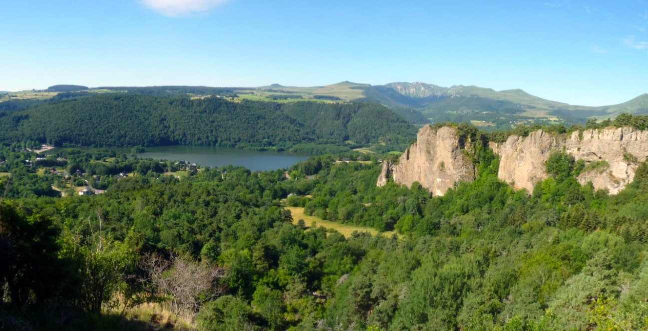
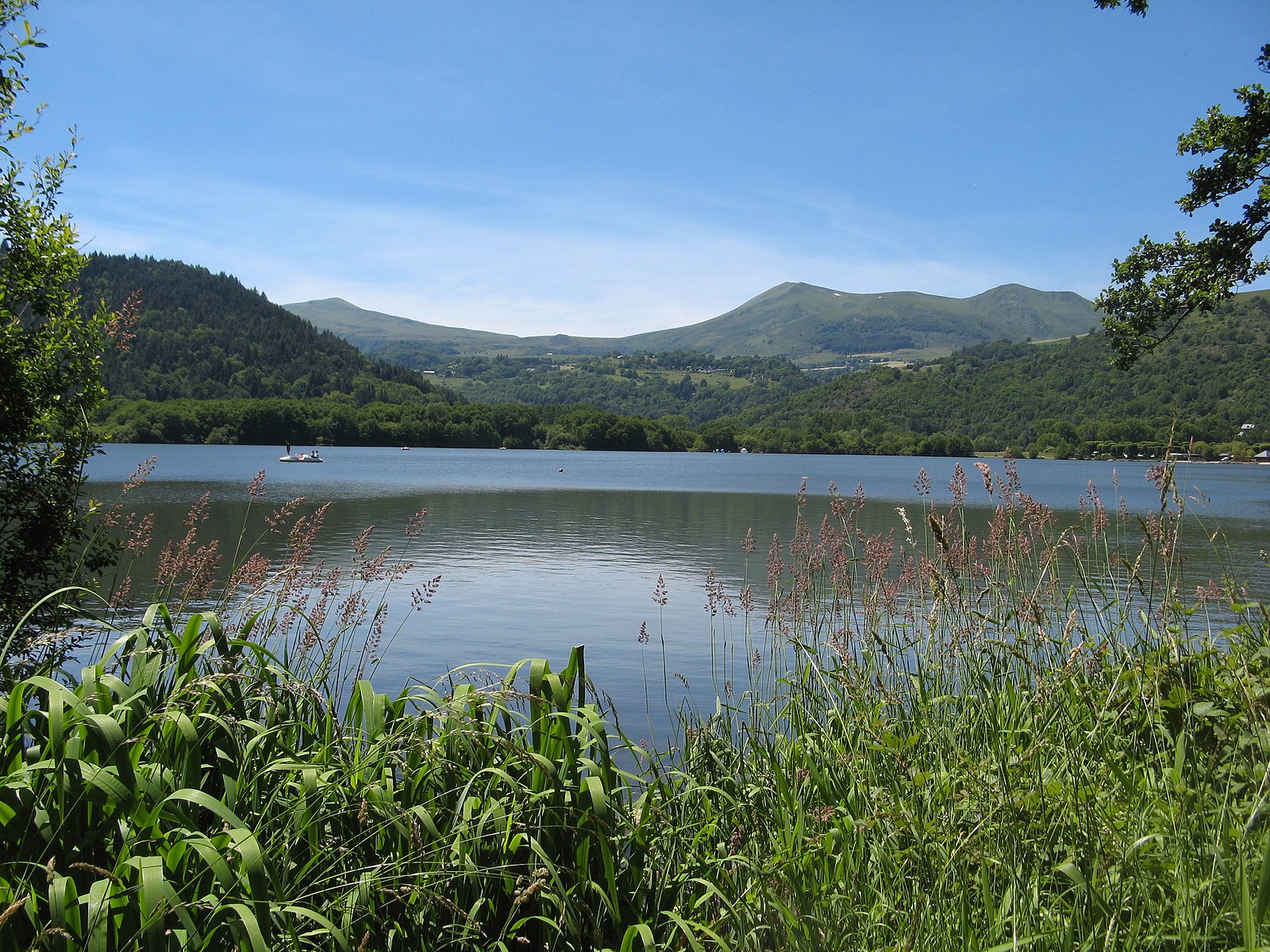
France > Auvergne-Rhône-Alpes > Puy-de-Dôme > Volcans d'Auvergne Regional Natural Park
Length
5km
Duration
1h30min
Elev gain
131m
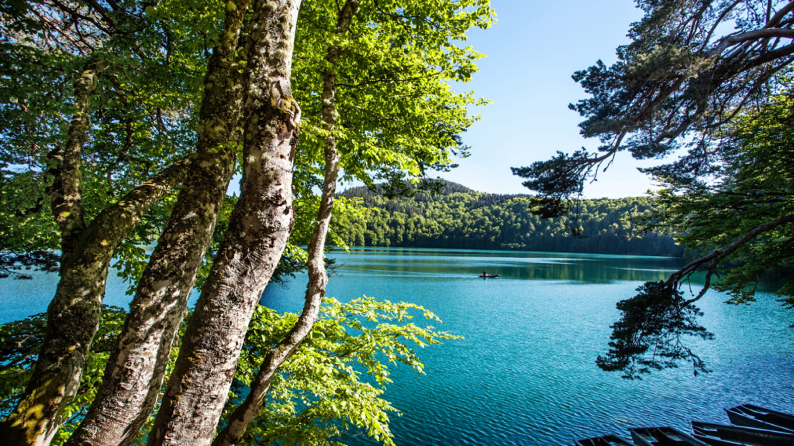
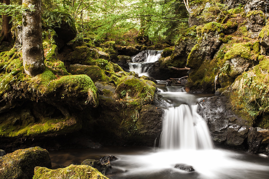
Short hike to discover the Chiloza waterfalls. The first part is done in the undergrowth, along the Couze Pavin. The trail passes by the beautiful waterfalls of Chiloza and then continues through the forest. To reach the starting point, a short passage is made by the road.

Already more than 200,000 users!
Uphill
131m
Highest point
992m
Downhill
131m
Lowest point
850m
Route type
Loop
Download the map on your smartphone to save battery and rest assured to always keep access to the route, even without signal.
Includes IGN France and Swisstopo.
Parking at the start of the hike, near the entrance to the Bois de Gravière campsite.
I indicate whether dogs are allowed or prohibited on this trail
Can be difficult in Winter
3 ratings
A part le départ qui est sans intérêt et quelques points de passages citadins le reste vaut vraiment le détour. Une promenade au fil du ruisseau avec de belles cascades et paysages
À faire.
Also enjoy:

Already more than 200,000 users!