Uphill
242m
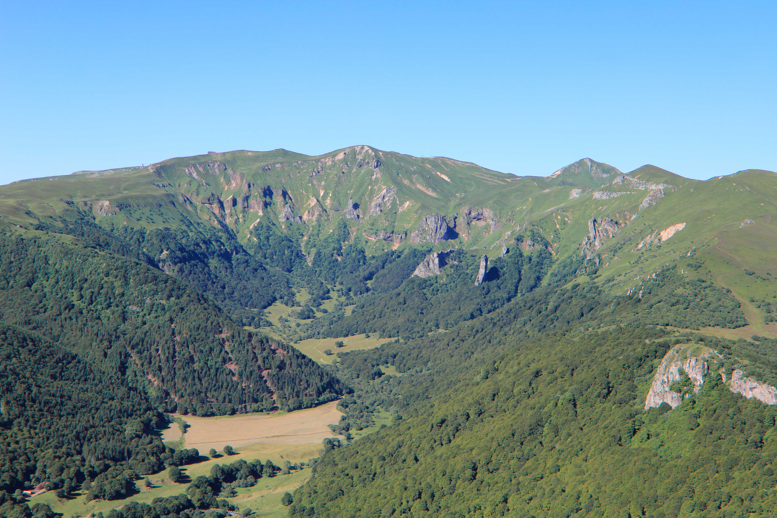
France > Auvergne-Rhône-Alpes > Puy-de-Dôme > Volcans d'Auvergne Regional Natural Park
Length
8km
Duration
2h30min
Elev gain
242m
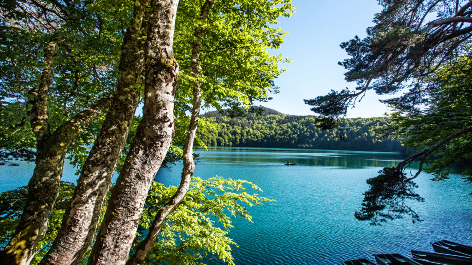
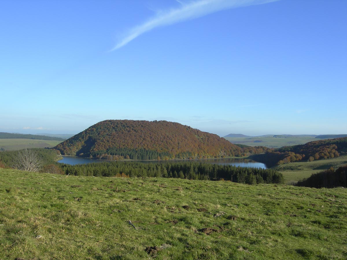
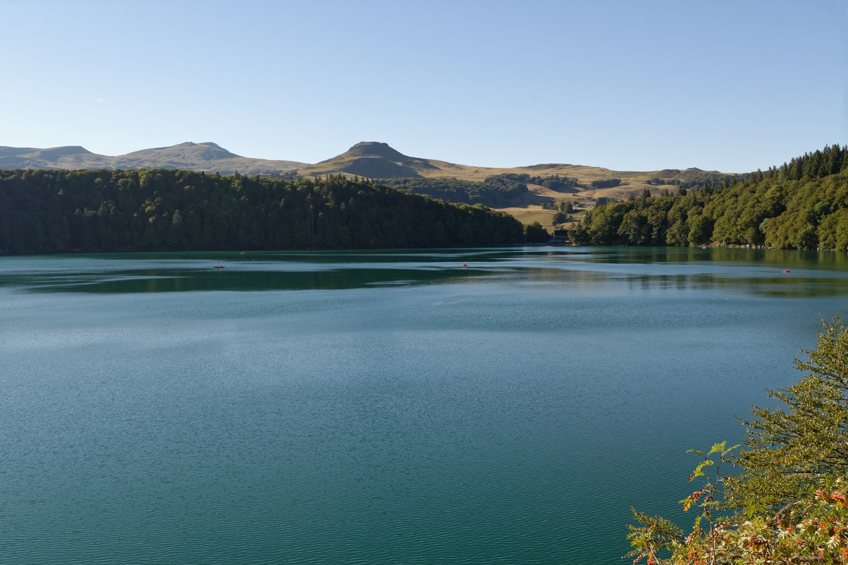
Nestled at an altitude of 1,200 meters, Lake Pavin is emblematic of the region and attracts many visitors. This lake of volcanic origin has an almost perfectly circular shape, for a depth of 92 meters. This trail allows you to go around it while discovering a pretty forest and the summit of Puy Montchal.

Already more than 200,000 users!
Uphill
242m
Highest point
1398m
Downhill
242m
Lowest point
1161m
Route type
Loop
Download the map on your smartphone to save battery and rest assured to always keep access to the route, even without signal.
Includes IGN France and Swisstopo.
Authorised
Can be difficult in Winter
7 ratings
Prendre connaissance de la météo (pas de vue si ciel couvert 😢)
Also enjoy:

Already more than 200,000 users!