Uphill
339m
France > Auvergne-Rhône-Alpes > Puy-de-Dôme > Volcans d'Auvergne Regional Natural Park
Length
15km
Duration
5h
Elev gain
339m
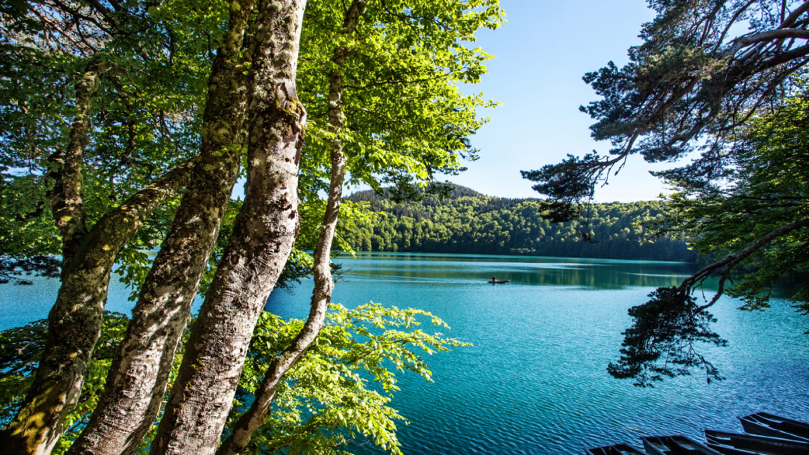
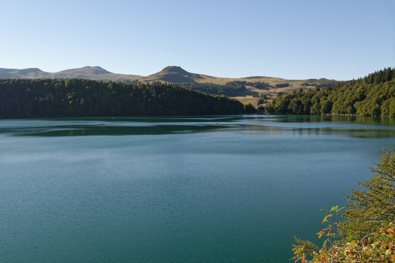
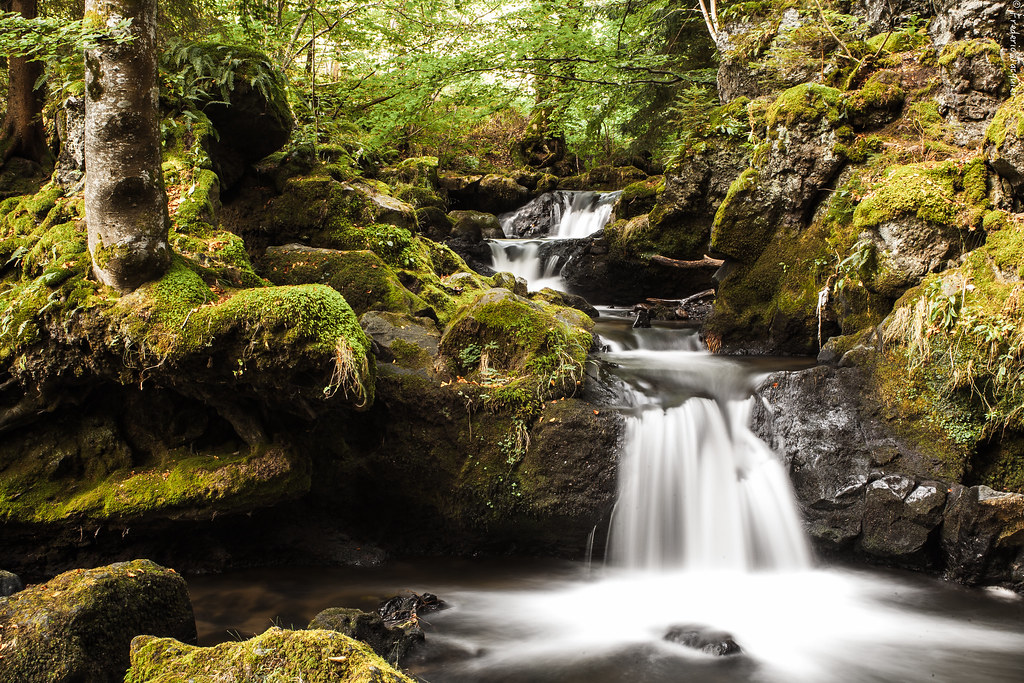
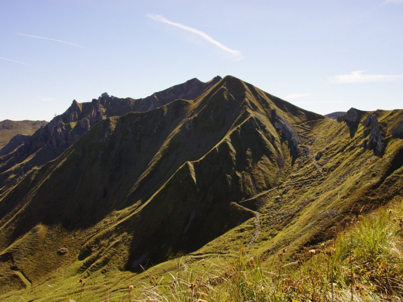
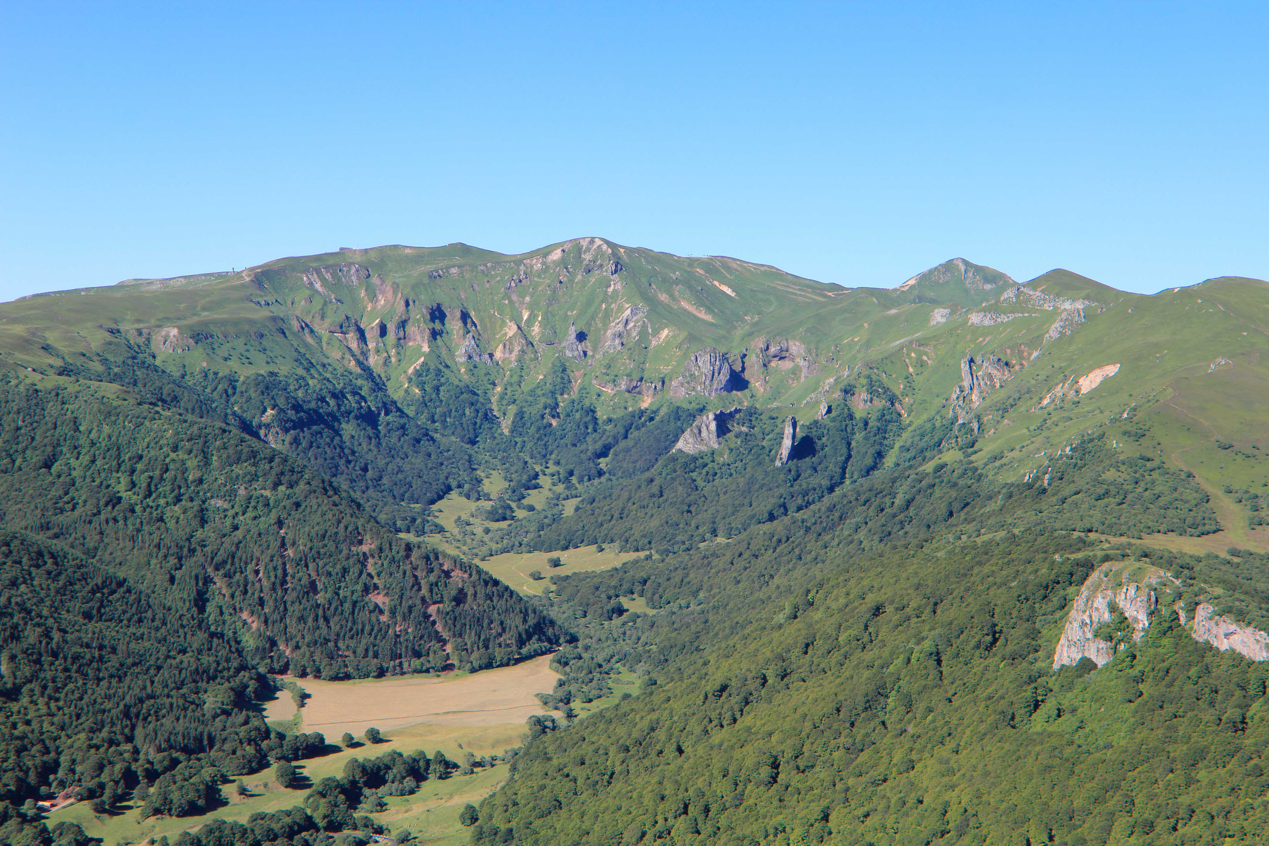
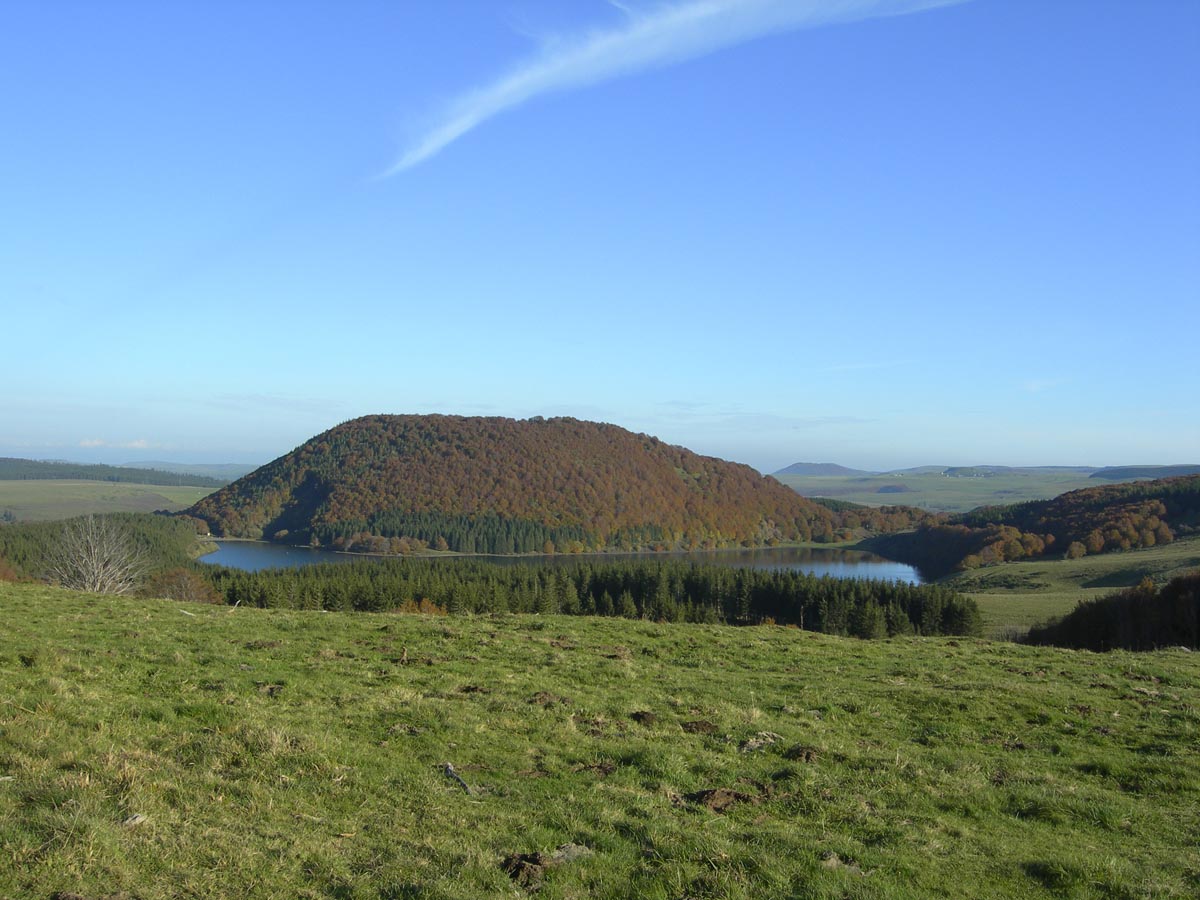
Here is a popular hike in the Parc des Volcans d'Auvergne. Starting from Lac Pavin, the trail passes through the Puy Montchal (1,407m) and continues to the Puy de Montcineyre (1,331m). The path alternates between meadows and forest and passes very close to the Lac de Montcineyre. At the top, the view is magnificent.

Already more than 200,000 users!
Uphill
339m
Highest point
1400m
Downhill
339m
Lowest point
1166m
Route type
Loop
Download the map on your smartphone to save battery and rest assured to always keep access to the route, even without signal.
Includes IGN France and Swisstopo.
I indicate whether dogs are allowed or prohibited on this trail
Can be difficult in Winter
2 ratings
Also enjoy:

Already more than 200,000 users!