Uphill
69m
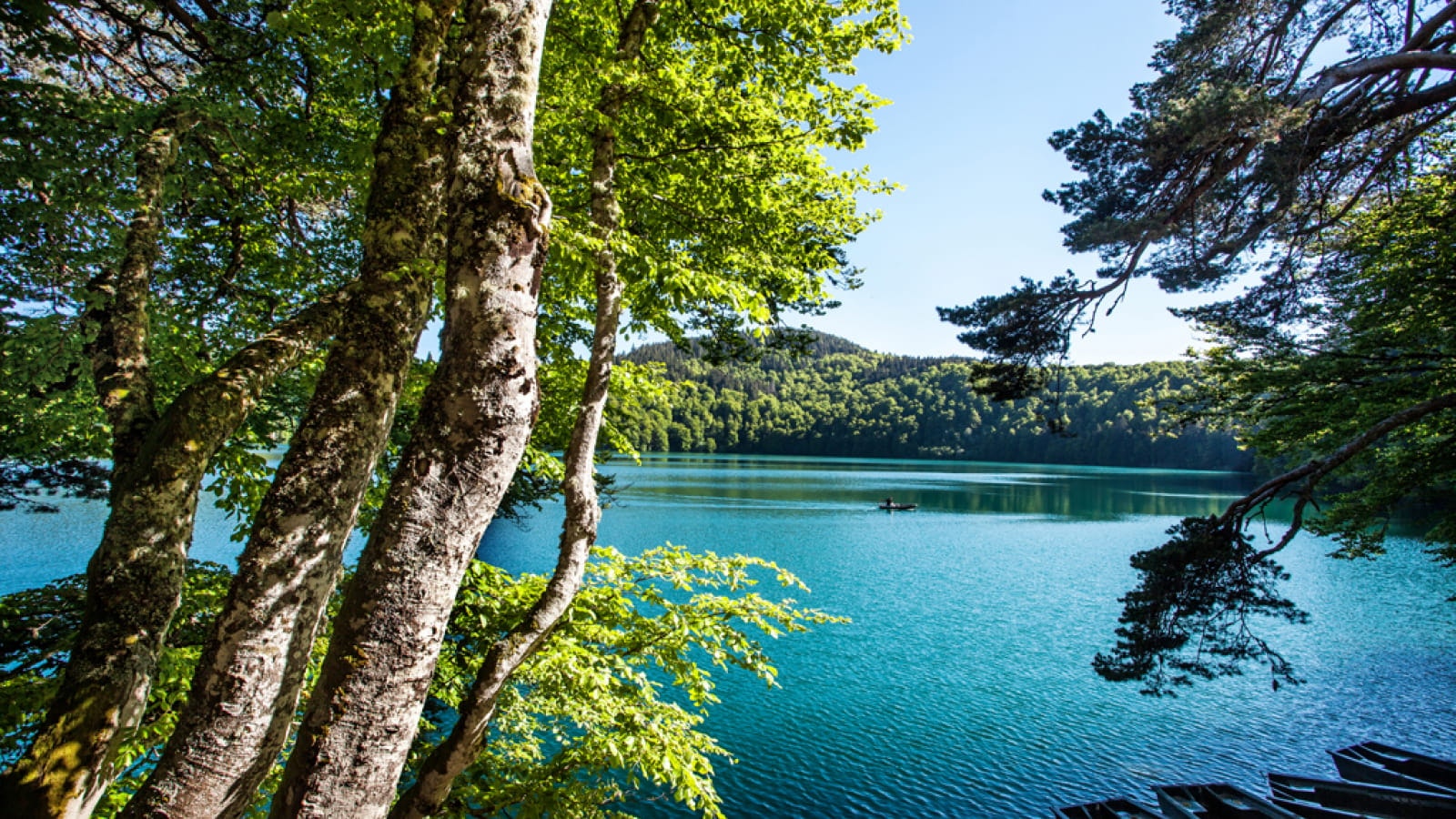
France > Auvergne-Rhône-Alpes > Puy-de-Dôme > Volcans d'Auvergne Regional Natural Park
Length
3km
Duration
1h
Elev gain
69m
Short walk around the mysterious lake Pavin. This crater lake sits 1,197 meters above sea level and forms an almost perfect circle. The route offers beautiful views of the surrounding valleys.

Already more than 200,000 users!
Uphill
69m
Highest point
1252m
Downhill
69m
Lowest point
1180m
Route type
Loop
Download the map on your smartphone to save battery and rest assured to always keep access to the route, even without signal.
Includes IGN France and Swisstopo.
Authorised
Can be difficult in Winter
2 ratings
Also enjoy:

Already more than 200,000 users!


