Uphill
277m
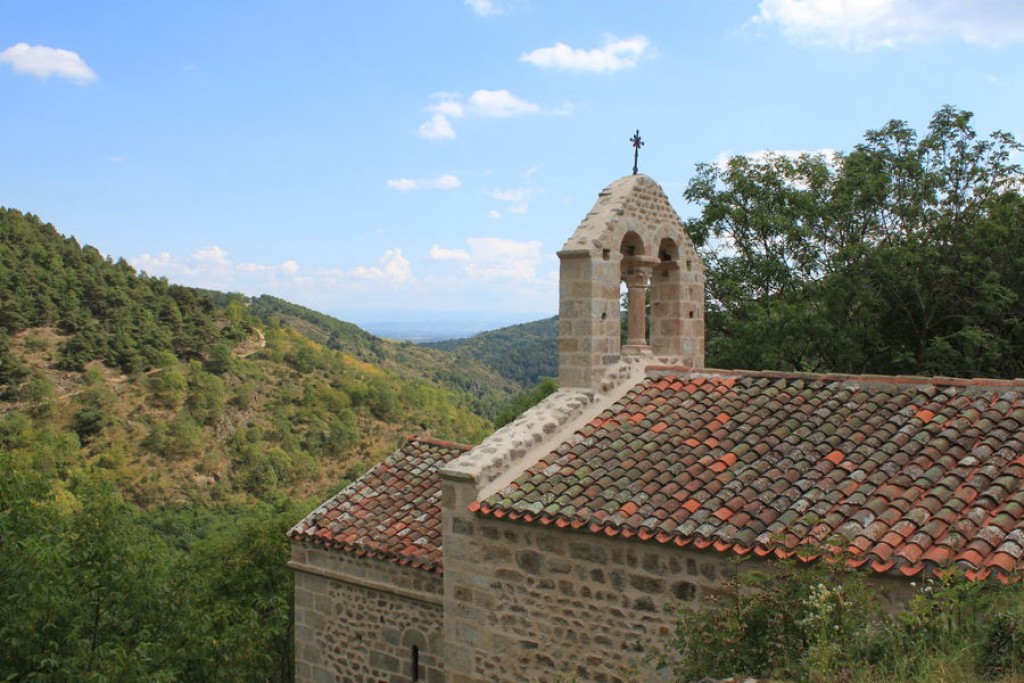
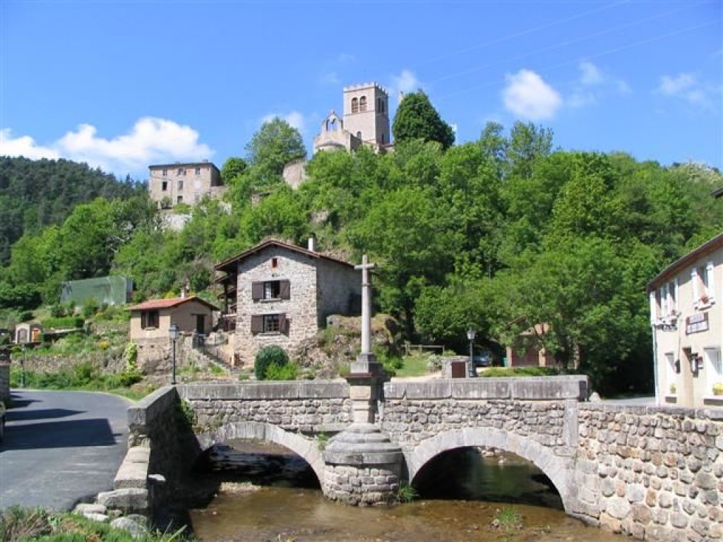
France > Auvergne-Rhône-Alpes > Loire > Livradois-Forez Regional Natural Park
Length
11km
Duration
3h30min
Elev gain
277m
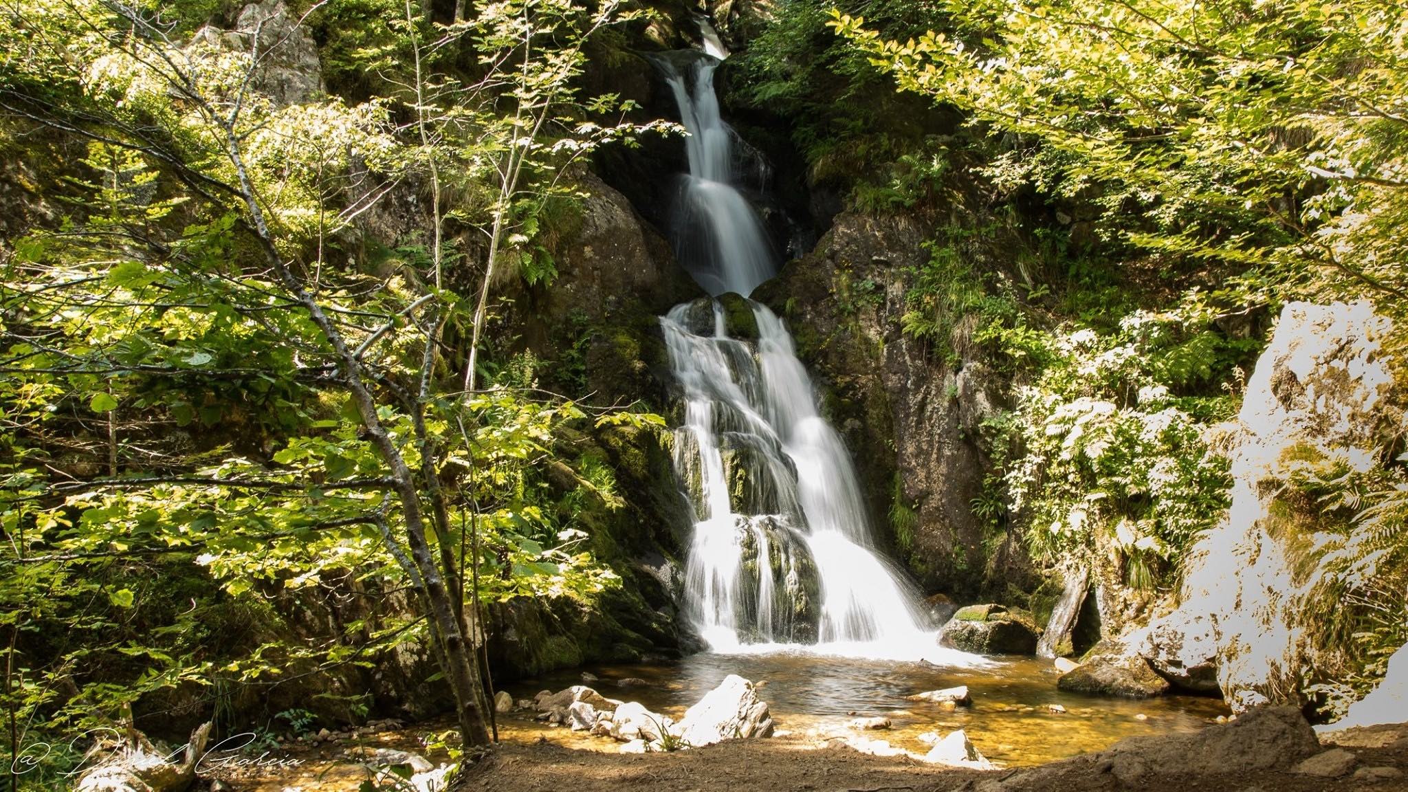
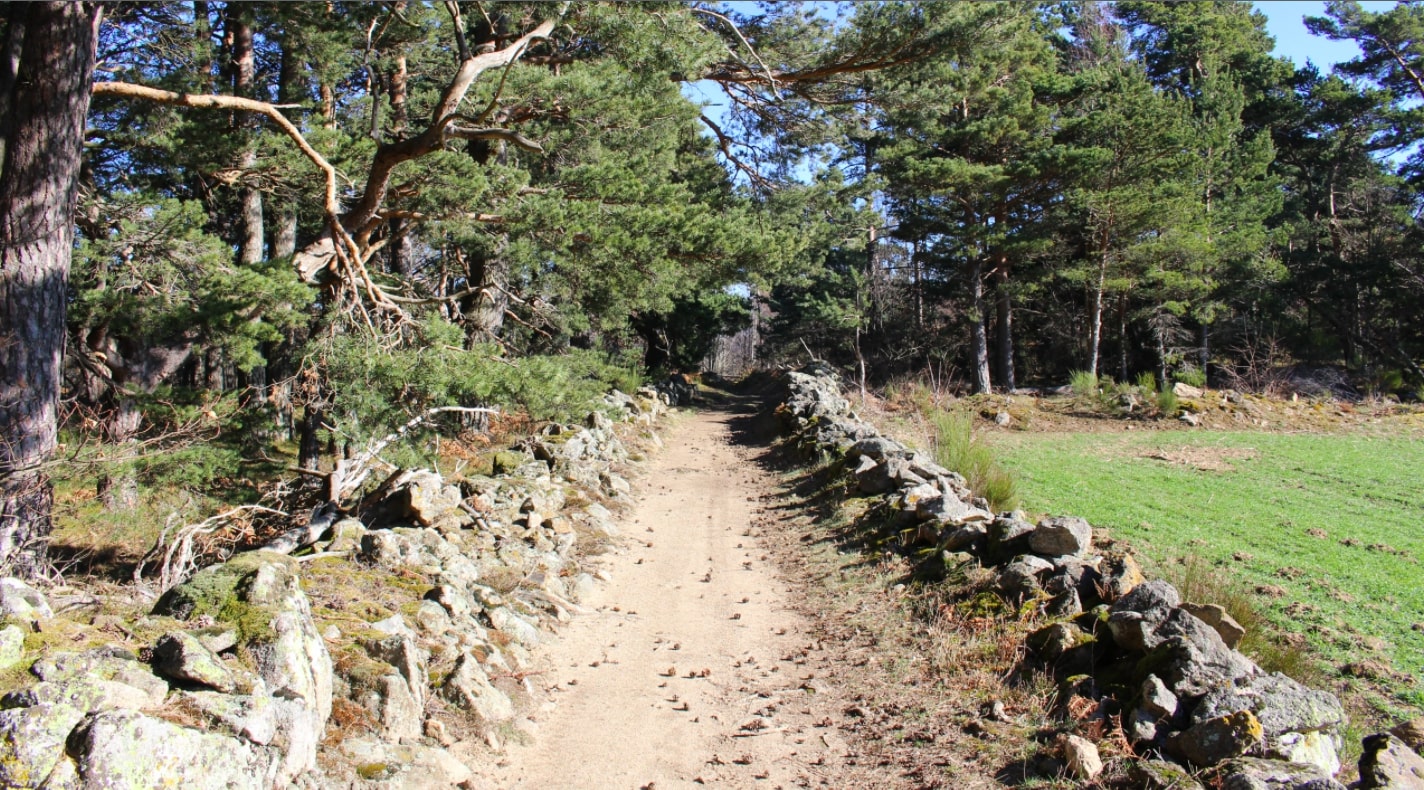
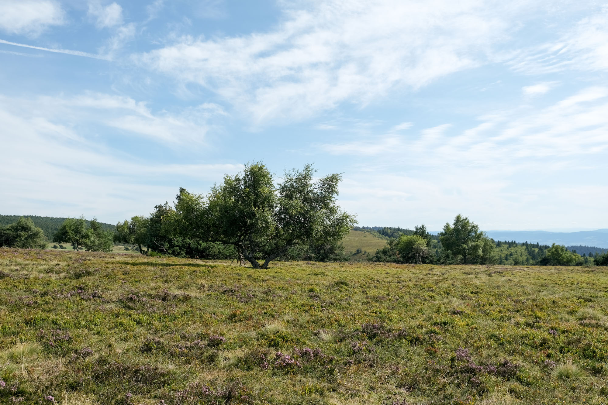
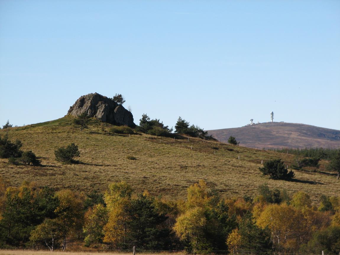
Here is a nice hike that starts in Verrières-en-Forez. The path climbs a little to reach the large Bazanne stone, located at 1,394 meters, then descends to the small Bazanne stone (1,344 meters) before returning towards the starting point. A beautiful hike in the heart of the Livradois-Forez Regional Natural Park.

Already more than 200,000 users!
Uphill
277m
Highest point
1381m
Downhill
277m
Lowest point
1106m
Route type
Loop
Download the map on your smartphone to save battery and rest assured to always keep access to the route, even without signal.
Includes IGN France and Swisstopo.
I indicate whether dogs are allowed or prohibited on this trail
Can be difficult in Winter
0 ratings
Also enjoy:

Already more than 200,000 users!