Uphill
262m
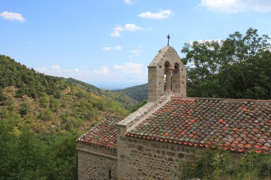
France > Auvergne-Rhône-Alpes > Puy-de-Dôme > Livradois-Forez Regional Natural Park
Length
9km
Duration
3h
Elev gain
262m
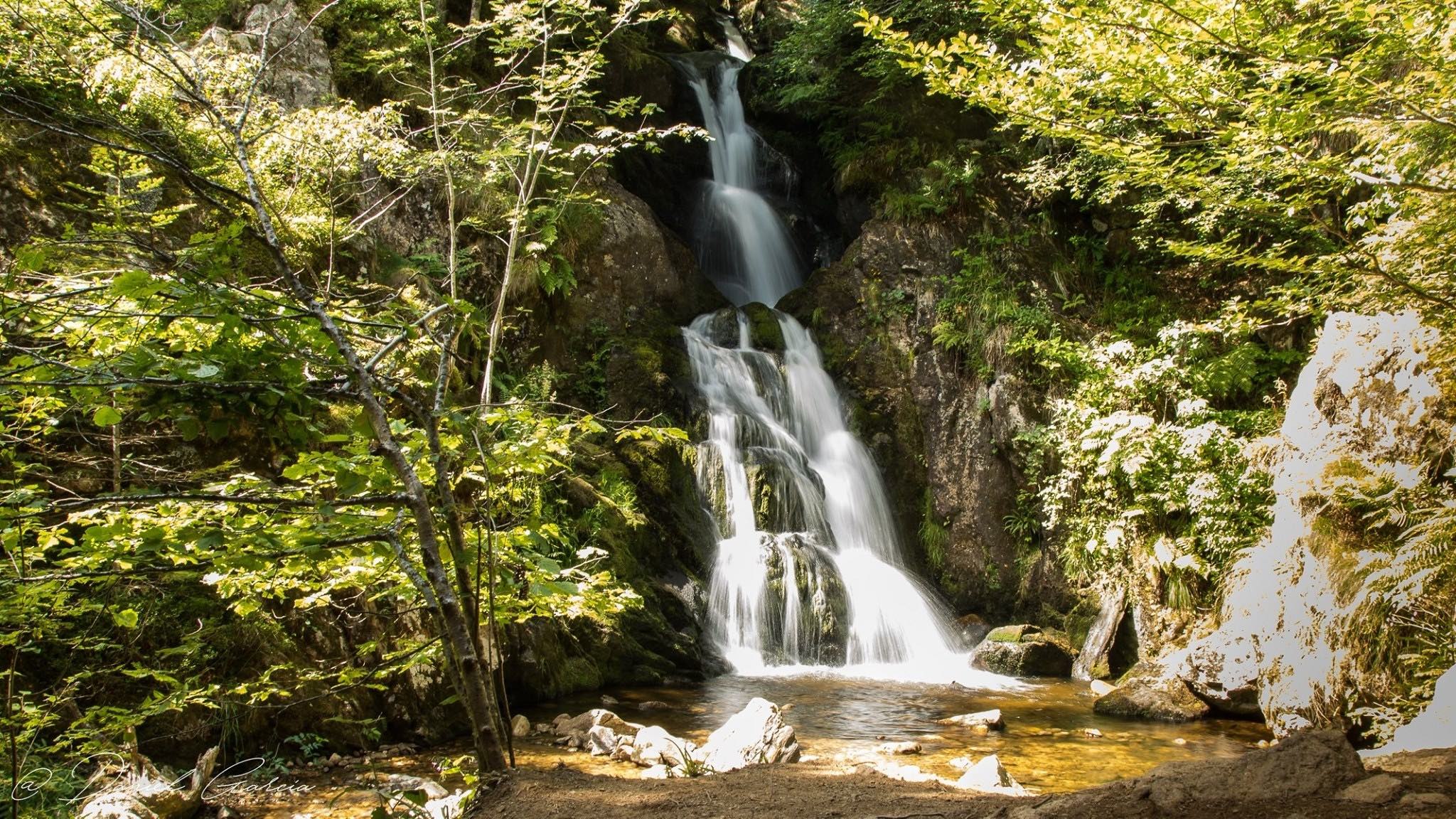
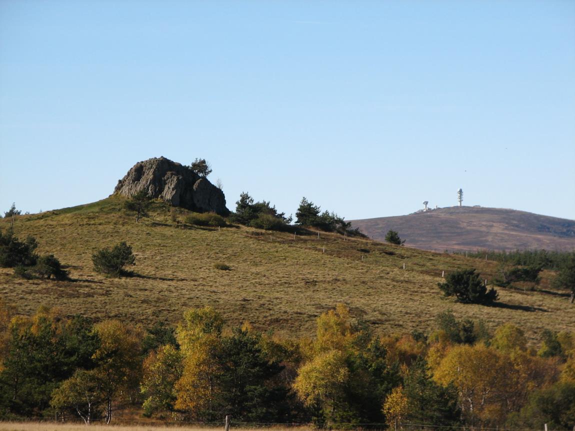
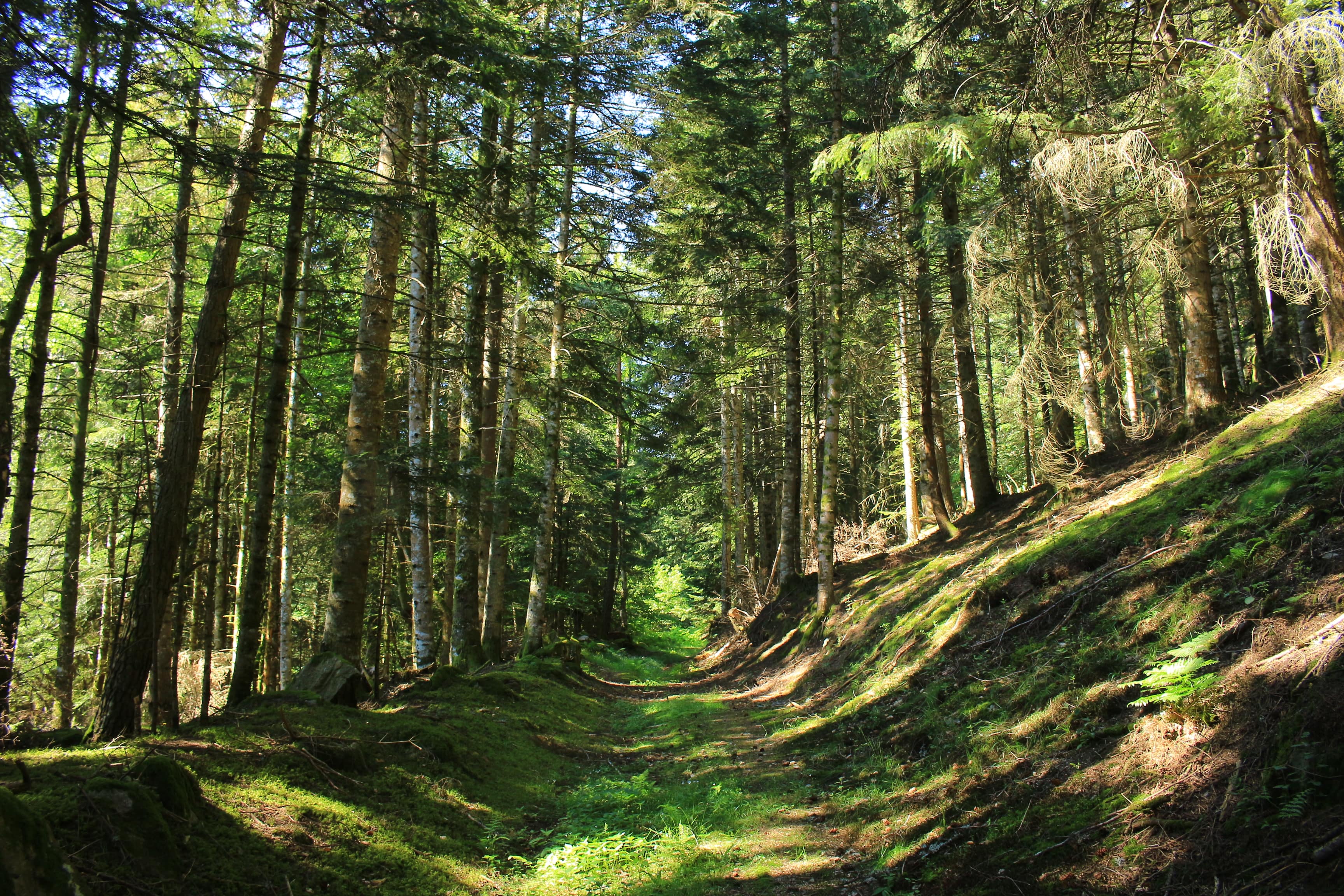
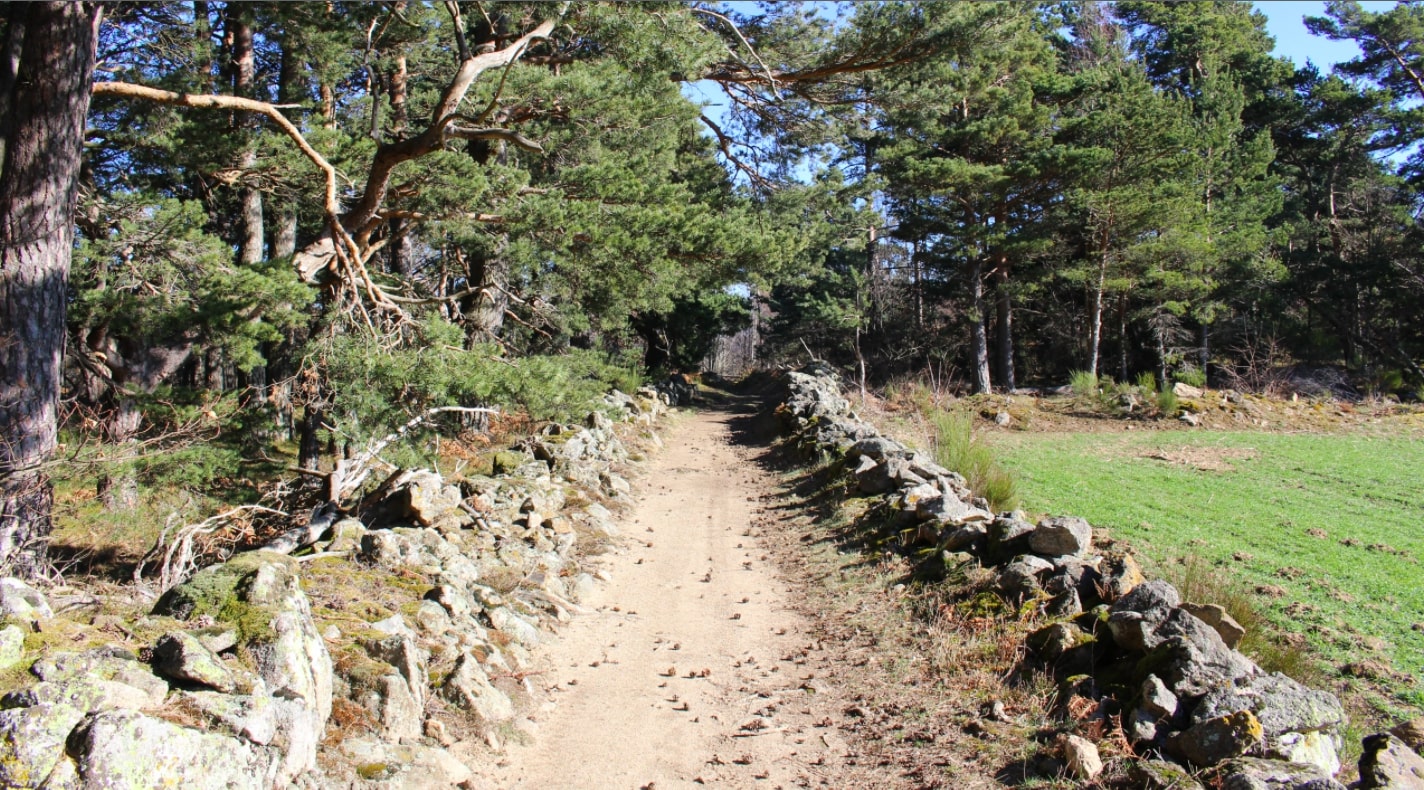
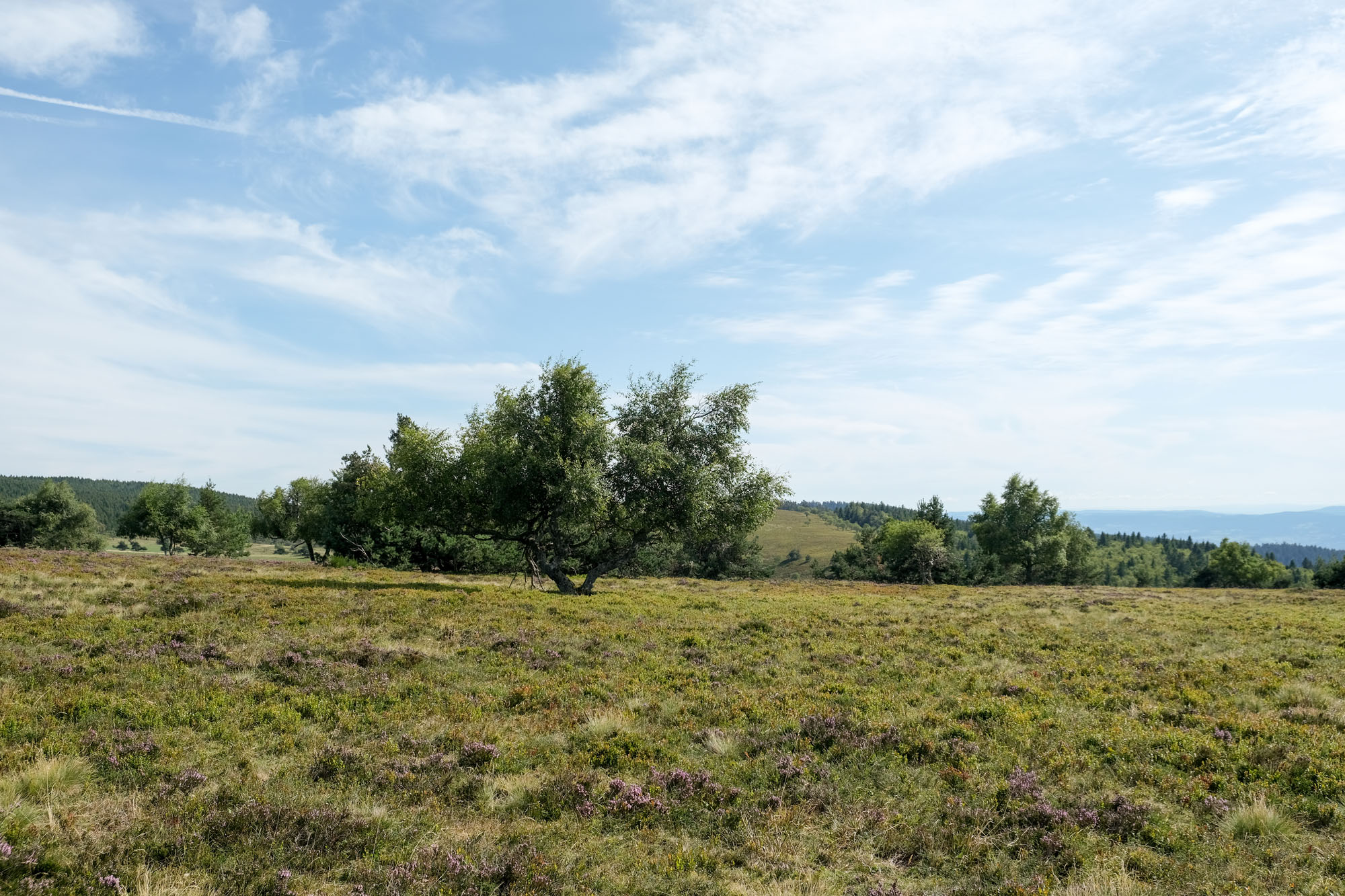
Nice walk in Livradois-Forez, the high meadows providing a feeling of wide open spaces.

Already more than 200,000 users!
Uphill
262m
Highest point
1391m
Downhill
256m
Lowest point
1228m
Route type
Loop
Download the map on your smartphone to save battery and rest assured to always keep access to the route, even without signal.
Includes IGN France and Swisstopo.
I indicate whether dogs are allowed or prohibited on this trail
Can be difficult in Winter
0 ratings
Also enjoy:

Already more than 200,000 users!