Uphill
139m
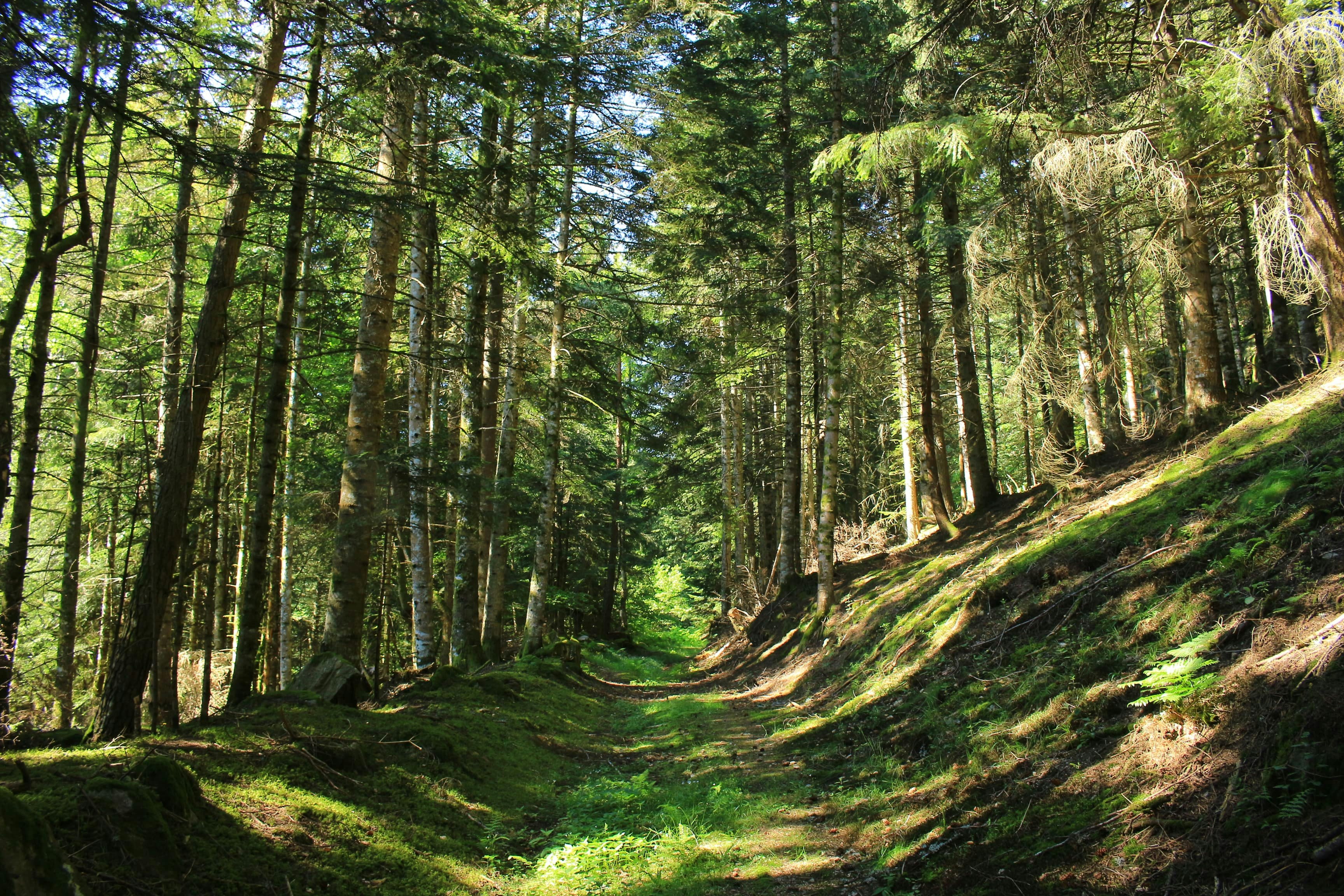
France > Auvergne-Rhône-Alpes > Loire > Livradois-Forez Regional Natural Park
Length
9km
Duration
2h30min
Elev gain
139m
Starting from the Col de la Loge, this route makes a loop in the forest in the heart of the Livradois-Forez regional natural park. The path winds through the woods and offers some pretty views of the surroundings, on the border between Puy-de-Dôme and the Loire.

Already more than 200,000 users!
Uphill
139m
Highest point
1340m
Downhill
139m
Lowest point
1246m
Route type
Loop
Download the map on your smartphone to save battery and rest assured to always keep access to the route, even without signal.
Includes IGN France and Swisstopo.
I indicate whether dogs are allowed or prohibited on this trail
Can be difficult in Winter
0 ratings
Also enjoy:

Already more than 200,000 users!


