Uphill
670m

France > Auvergne-Rhône-Alpes > Puy-de-Dôme > Livradois-Forez Regional Natural Park
Length
16km
Duration
5h30min
Elev gain
670m
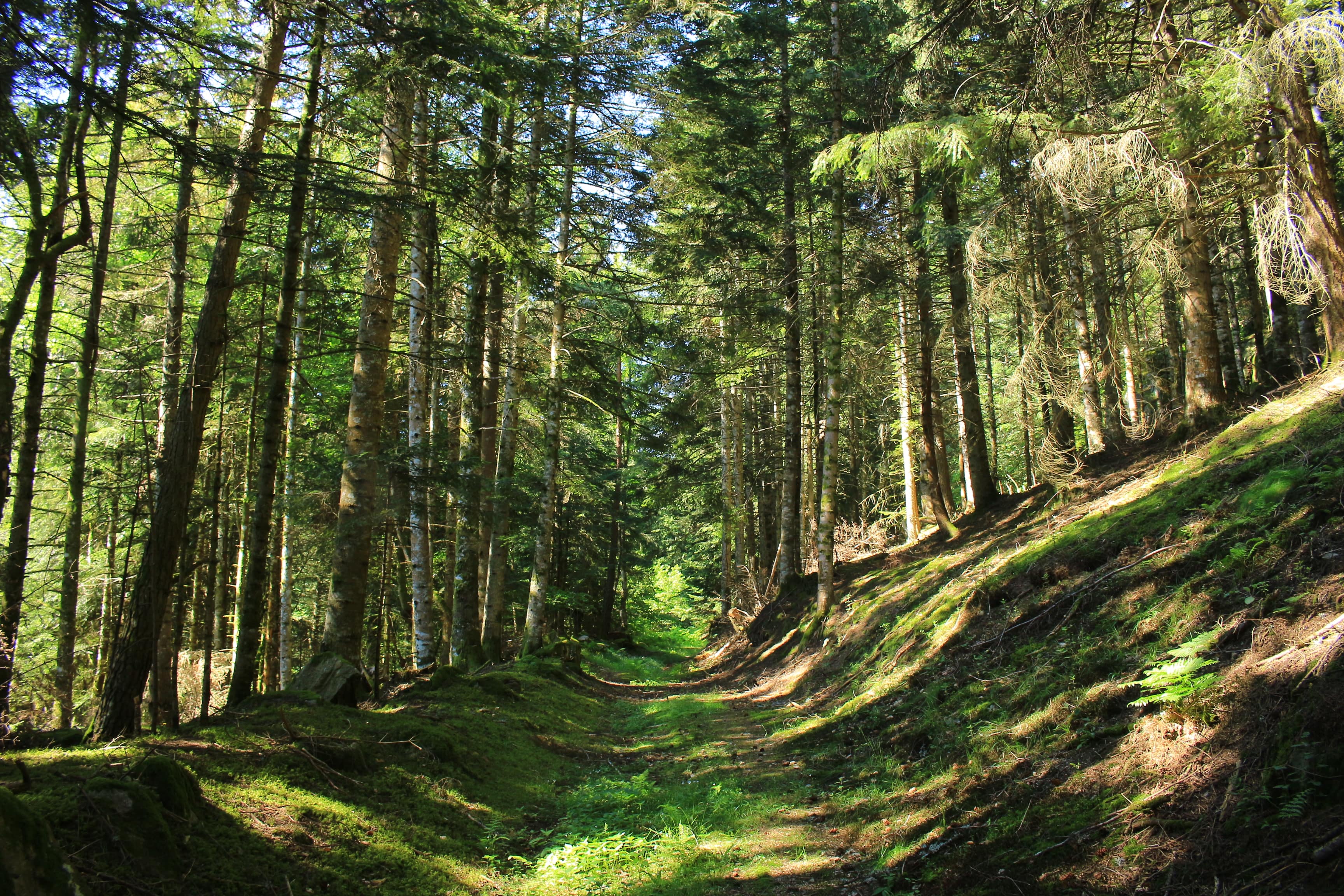
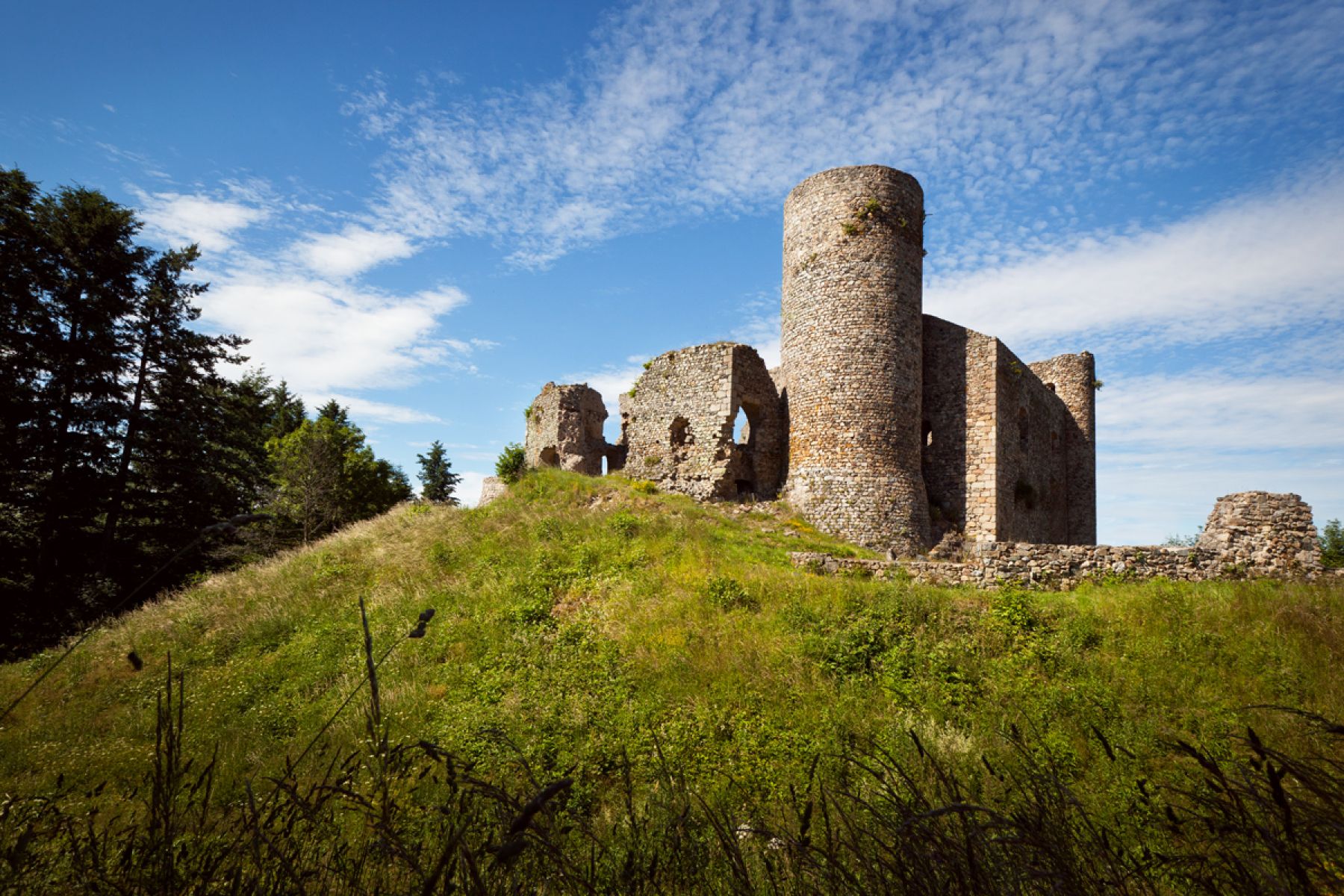
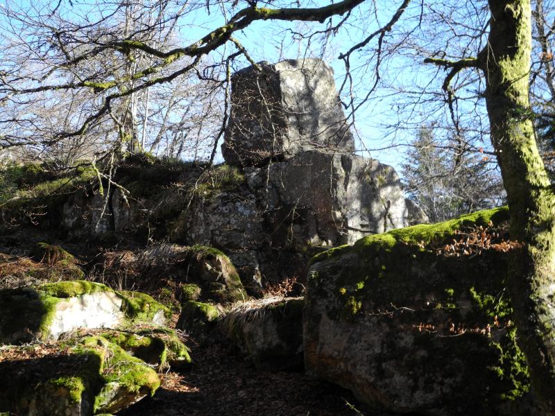
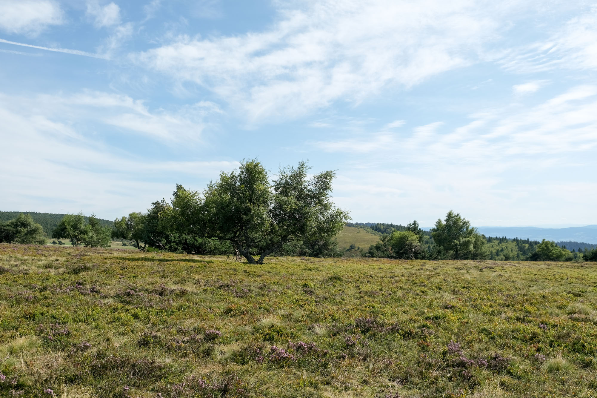
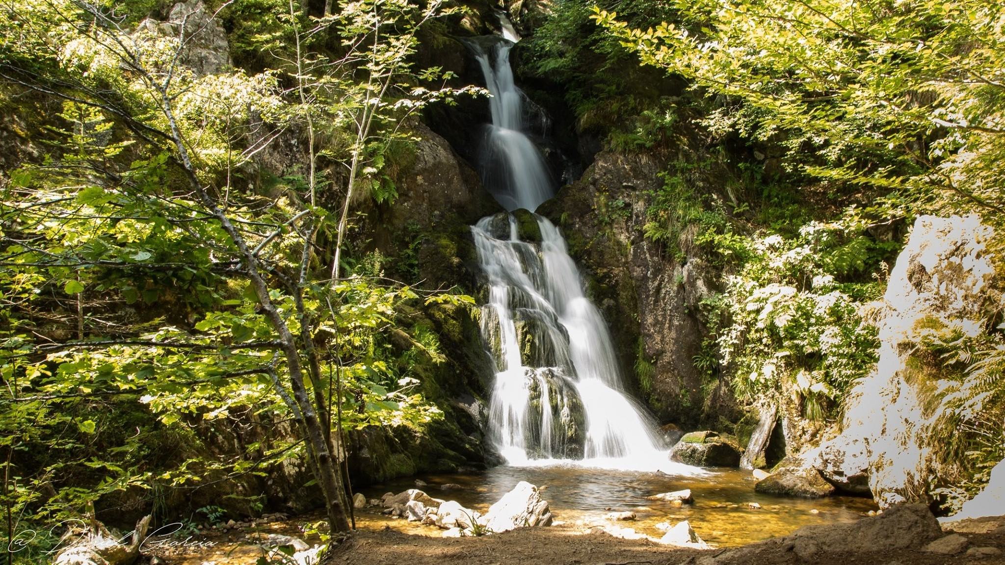
Hike in the national forest of Ayguebonne, making a loop around the peak of Chignore (1,074 m). Nice panorama on the plain of Limagne and the alignment of the volcanoes of the Dome mountains and the Dore mountains.

Already more than 200,000 users!
Uphill
670m
Highest point
1054m
Downhill
670m
Lowest point
527m
Route type
Loop
Download the map on your smartphone to save battery and rest assured to always keep access to the route, even without signal.
Includes IGN France and Swisstopo.
I indicate whether dogs are allowed or prohibited on this trail
Can be difficult in Winter
0 ratings
Also enjoy:

Already more than 200,000 users!