Uphill
511m
Length
7km
Duration
3h30min
Elev gain
511m
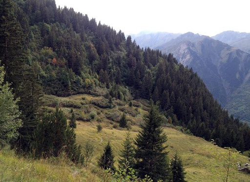
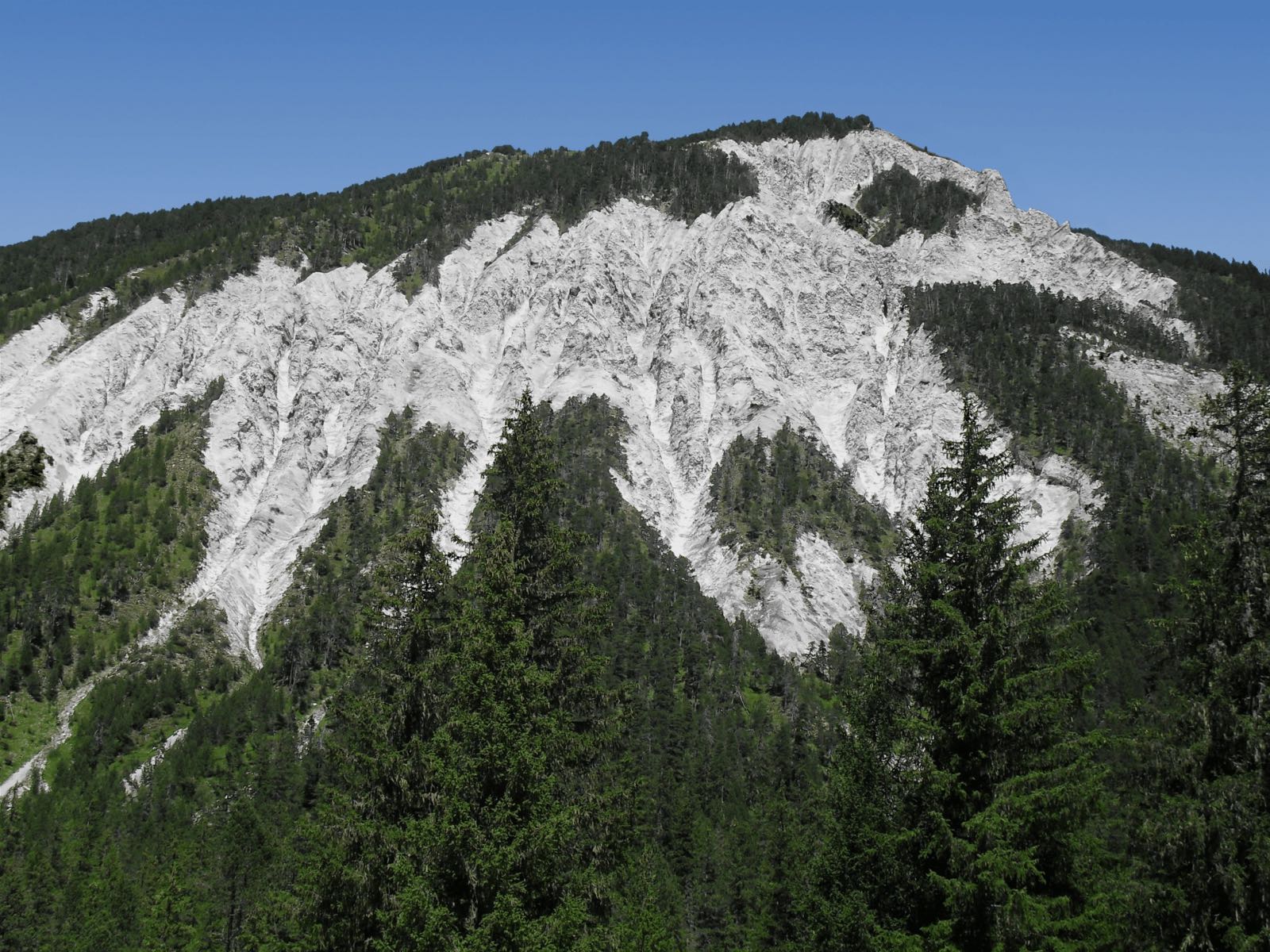
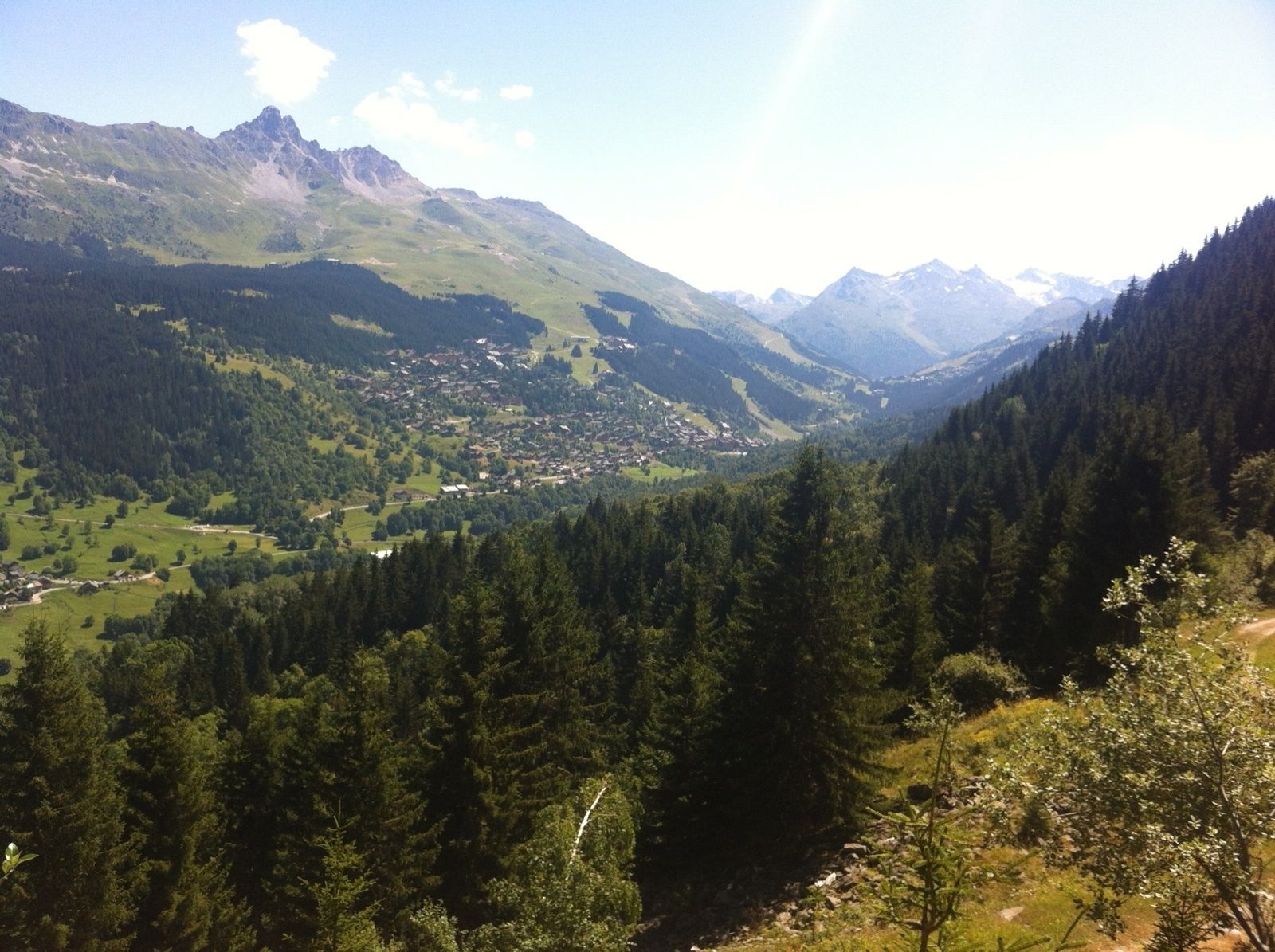
Hiking mainly in the forest located on the heights of the village of Cruet, of which a Savoy wine bears the name. The route crosses the Croix and Grande Combe streams.

Already more than 200,000 users!
Uphill
511m
Highest point
1631m
Downhill
511m
Lowest point
1235m
Route type
Loop
Download the map on your smartphone to save battery and rest assured to always keep access to the route, even without signal.
Includes IGN France and Swisstopo.
I indicate whether dogs are allowed or prohibited on this trail
From May to October
1 rating
Also enjoy:

Already more than 200,000 users!