Uphill
564m
Length
10km
Duration
4h
Elev gain
564m
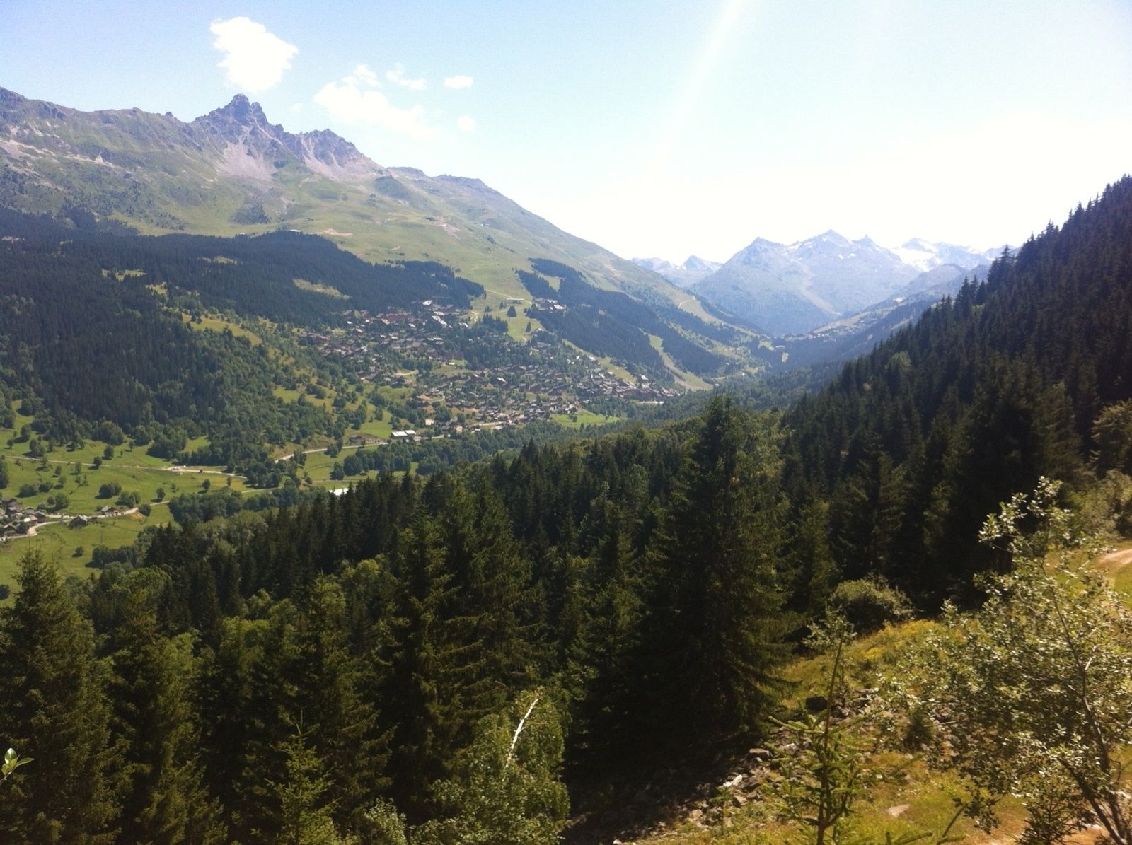
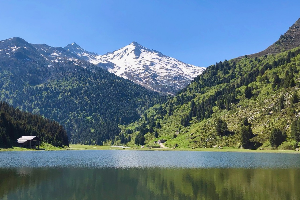
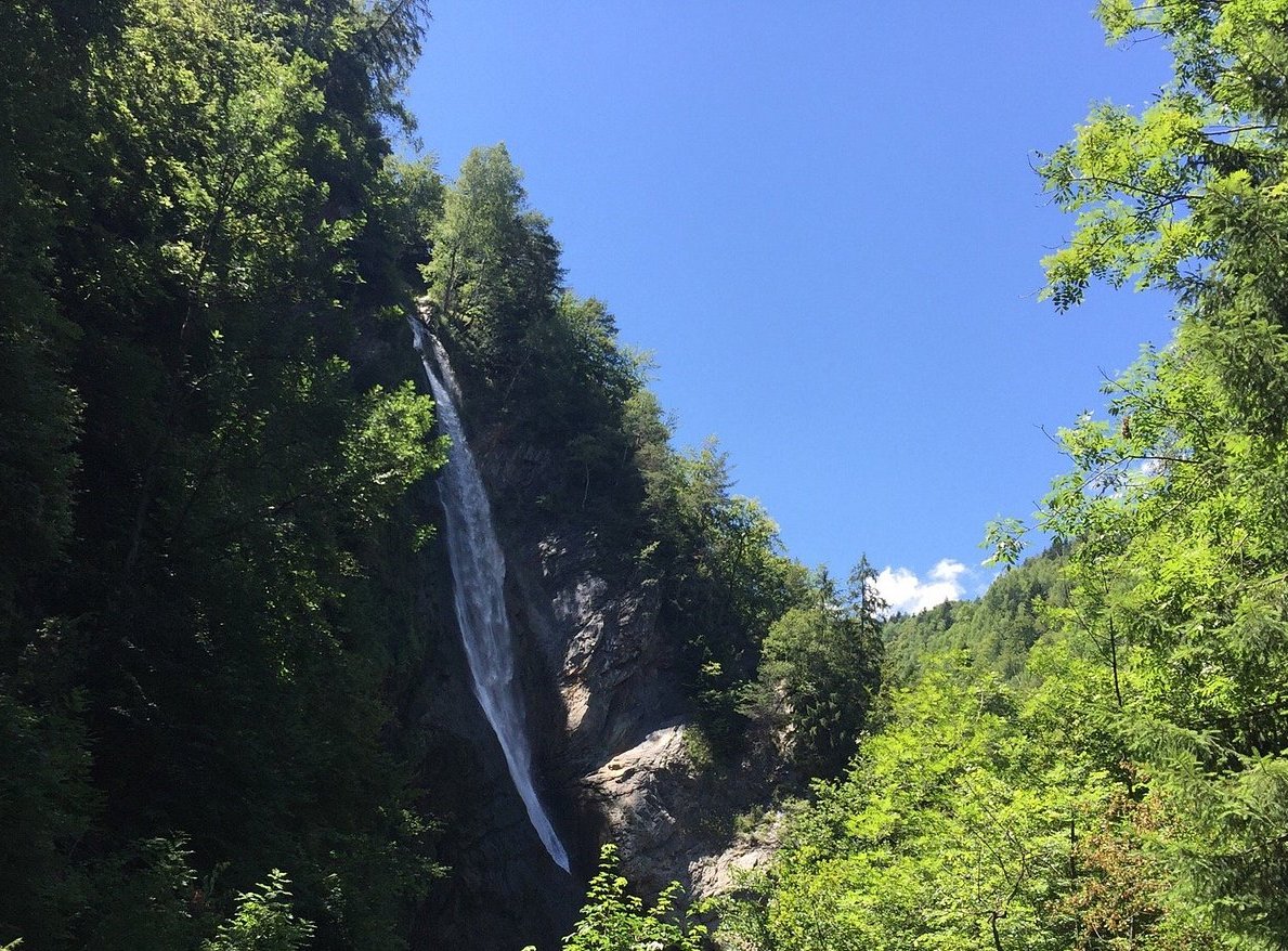
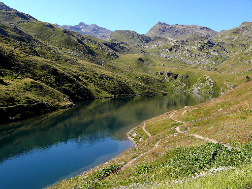
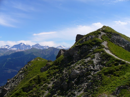
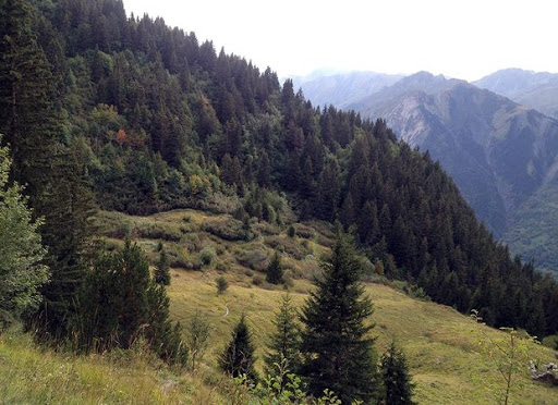
A fairly steep start, then a nice walk on the crests offering a view of the surroundings.

Already more than 200,000 users!
Uphill
564m
Highest point
2097m
Downhill
564m
Lowest point
1576m
Route type
Loop
Download the map on your smartphone to save battery and rest assured to always keep access to the route, even without signal.
Includes IGN France and Swisstopo.
I indicate whether dogs are allowed or prohibited on this trail
From May to September
0 ratings
Also enjoy:

Already more than 200,000 users!