Uphill
955m
Length
13km
Duration
6h30min
Elev gain
955m
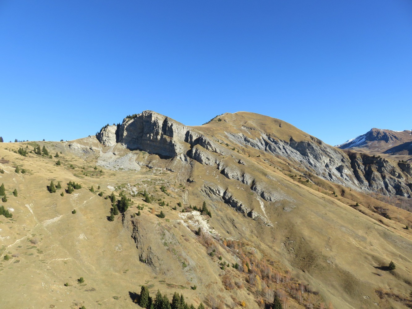
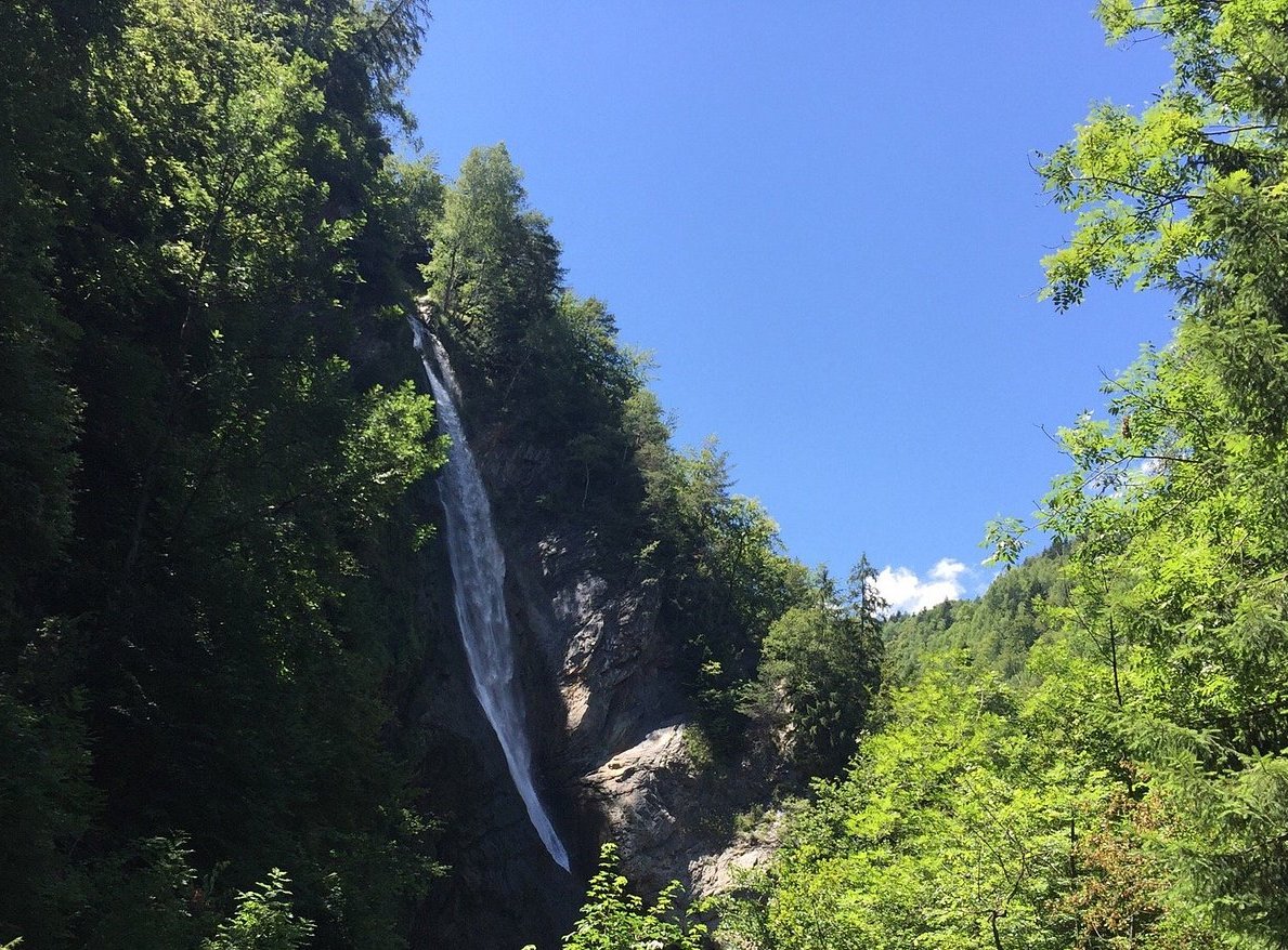
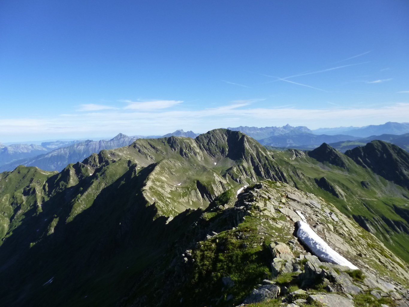
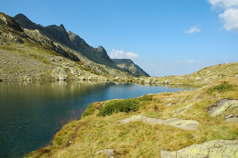
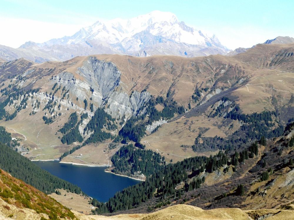
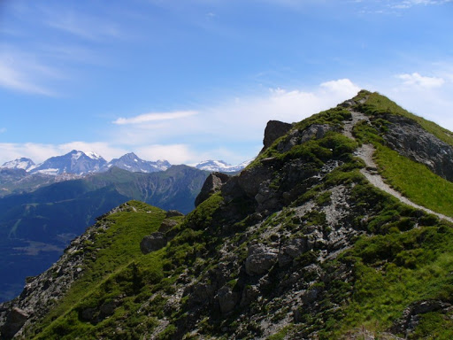
Loop trail on the crests, with a very gradual climb and beautiful views.

Already more than 200,000 users!
Uphill
955m
Highest point
2276m
Downhill
955m
Lowest point
1315m
Route type
Loop
Download the map on your smartphone to save battery and rest assured to always keep access to the route, even without signal.
Includes IGN France and Swisstopo.
I indicate whether dogs are allowed or prohibited on this trail
From May to September
0 ratings
Also enjoy:

Already more than 200,000 users!