Uphill
974m
Length
11km
Duration
6h30min
Elev gain
974m
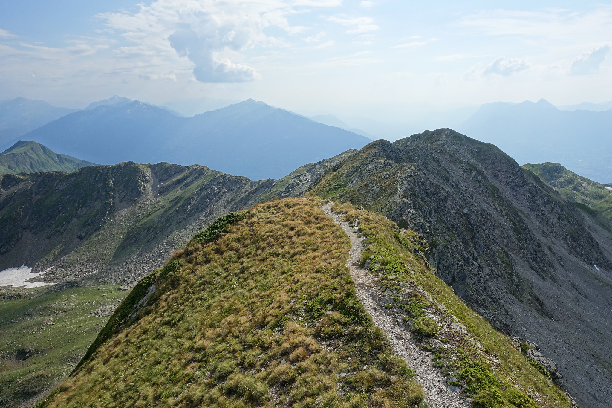
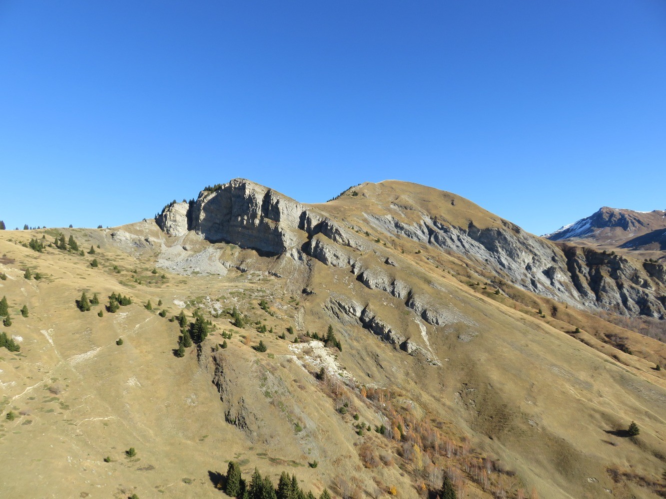
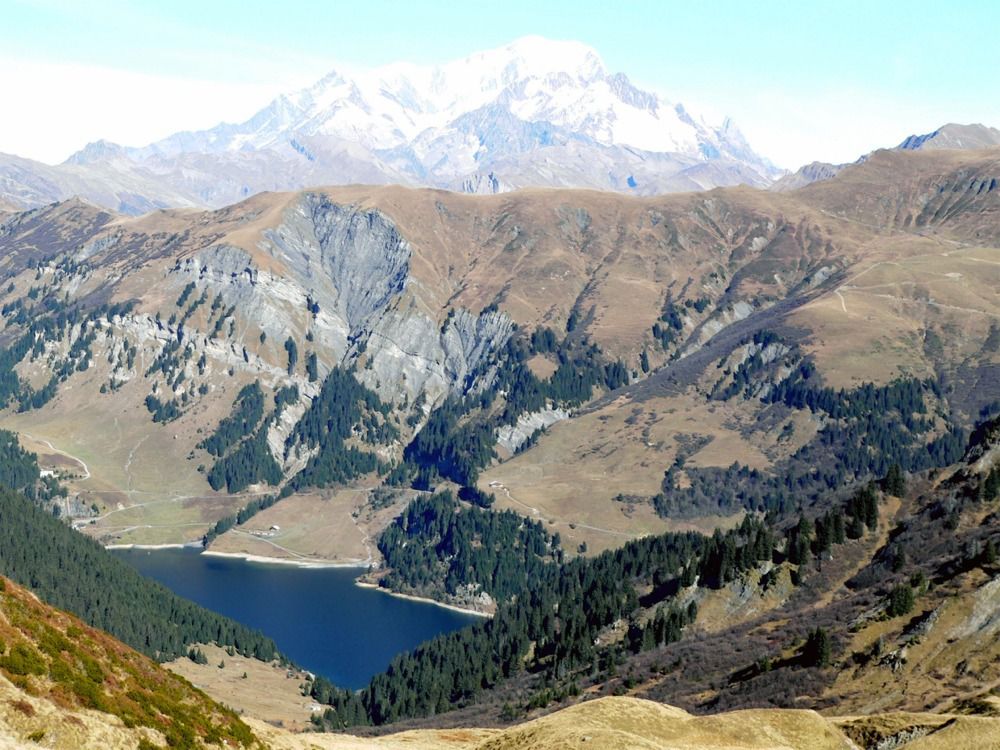
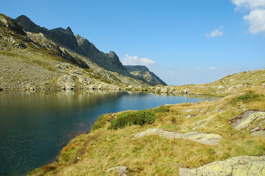
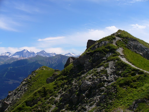
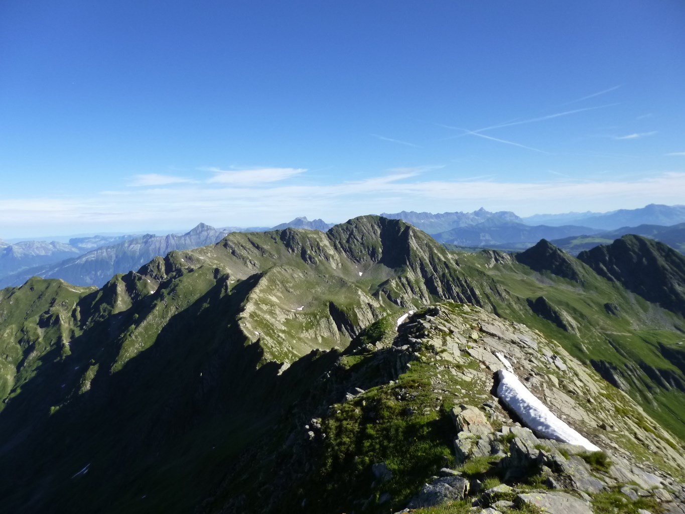
Nice hike passing through the Pointe de Lavouet.

Already more than 200,000 users!
Uphill
974m
Highest point
2439m
Downhill
974m
Lowest point
1489m
Route type
Loop
Download the map on your smartphone to save battery and rest assured to always keep access to the route, even without signal.
Includes IGN France and Swisstopo.
Small parking at the hike starting point, on the route Forestière de la Ravoire.
I indicate whether dogs are allowed or prohibited on this trail
From June to September
0 ratings
Also enjoy:

Already more than 200,000 users!