Uphill
372m
Length
4km
Duration
2h30min
Elev gain
372m
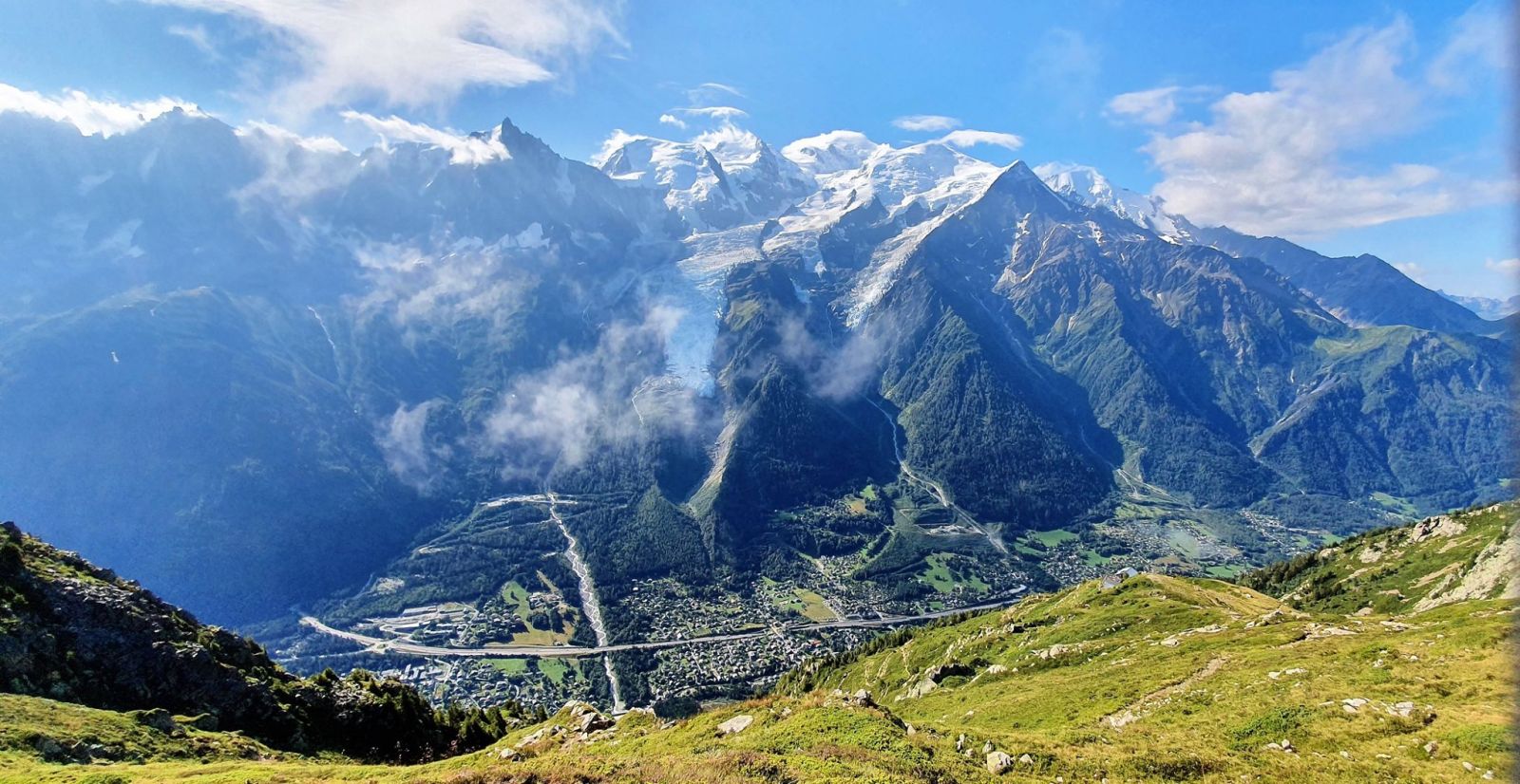
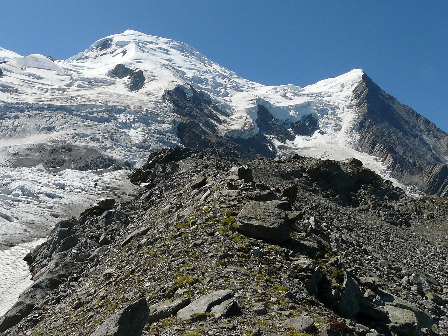
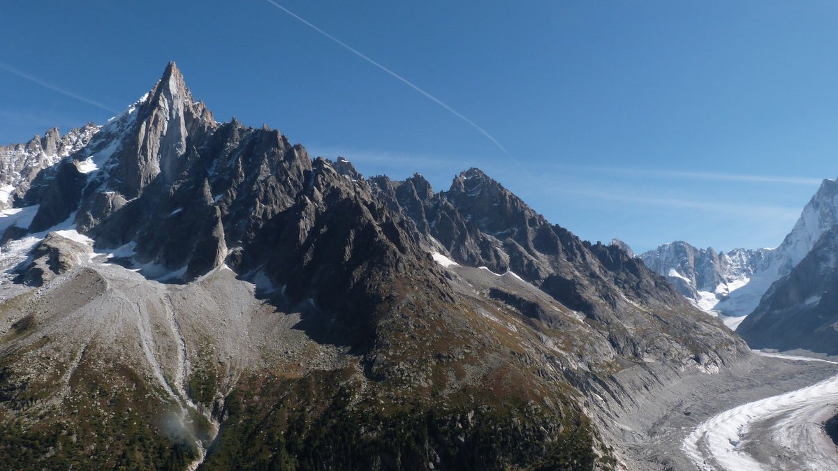
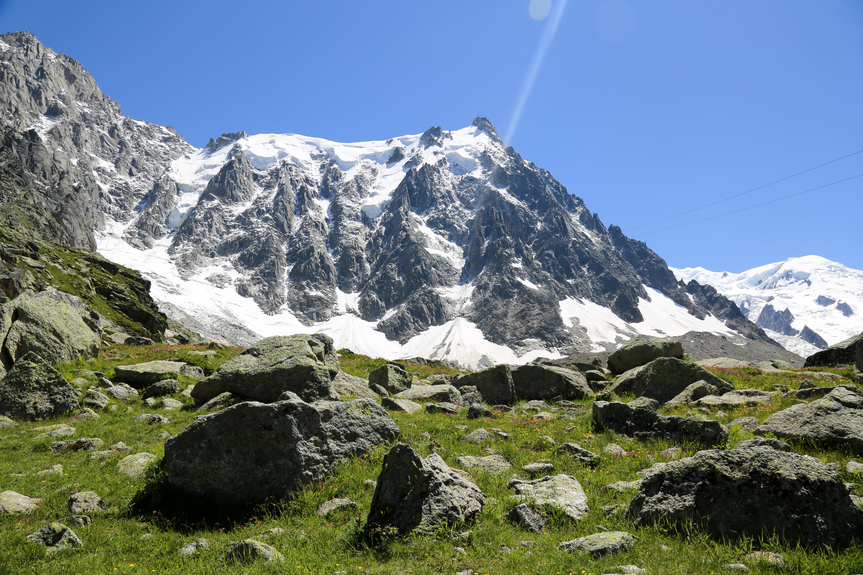
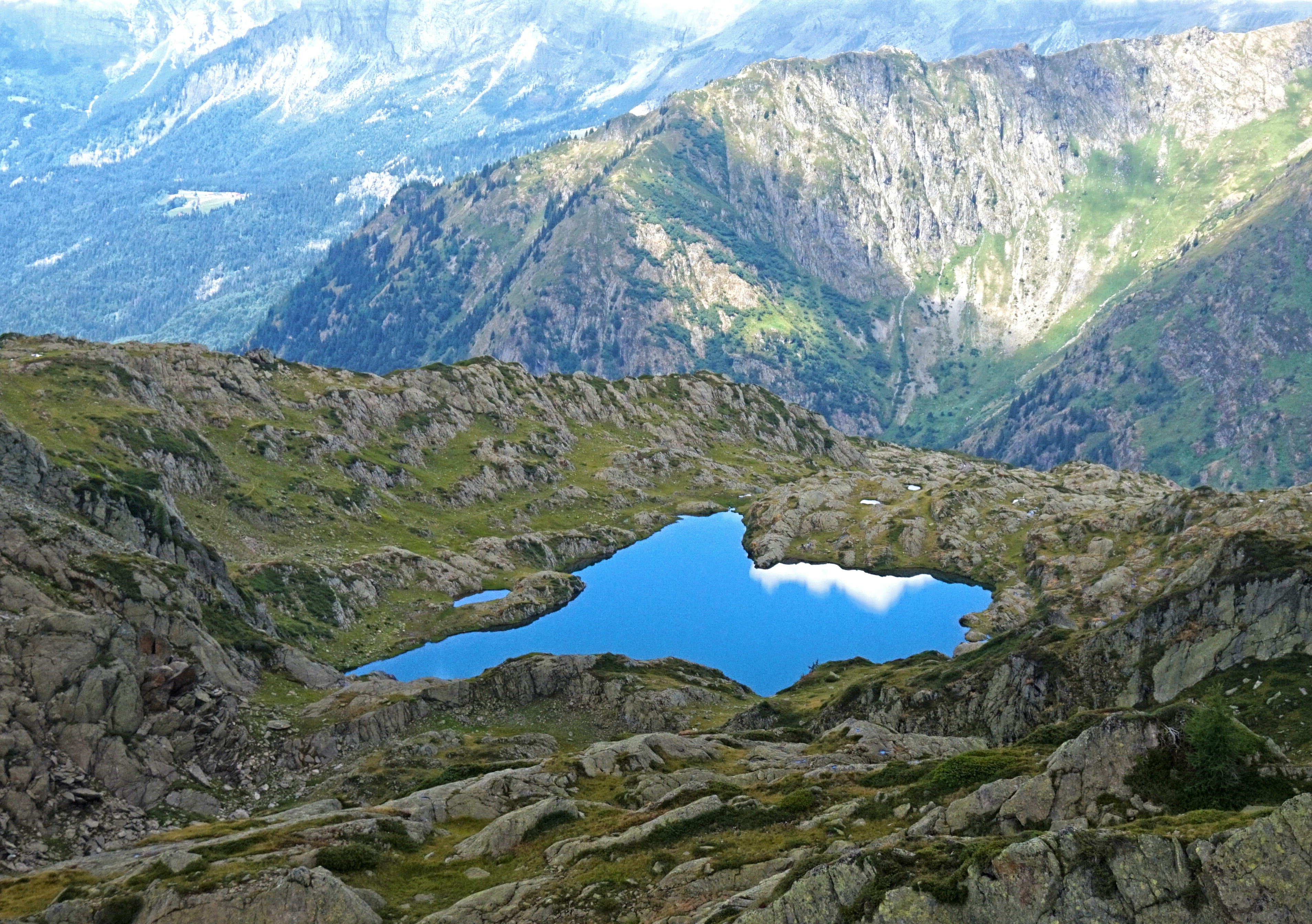
Near Chamonix Mont-Blanc, the start of this hike is at the Brévent cable car. The path leads to Lac du Brévent which offers a splendid panorama of the valley and Mont-Blanc. Possibility of picnicking at the lake.

Already more than 200,000 users!
Uphill
372m
Highest point
2473m
Downhill
372m
Lowest point
2130m
Route type
There and back
Download the map on your smartphone to save battery and rest assured to always keep access to the route, even without signal.
Includes IGN France and Swisstopo.
I indicate whether dogs are allowed or prohibited on this trail
From June to September
0 ratings
Also enjoy:

Already more than 200,000 users!