Uphill
1321m
Length
12km
Duration
8h30min
Elev gain
1321m
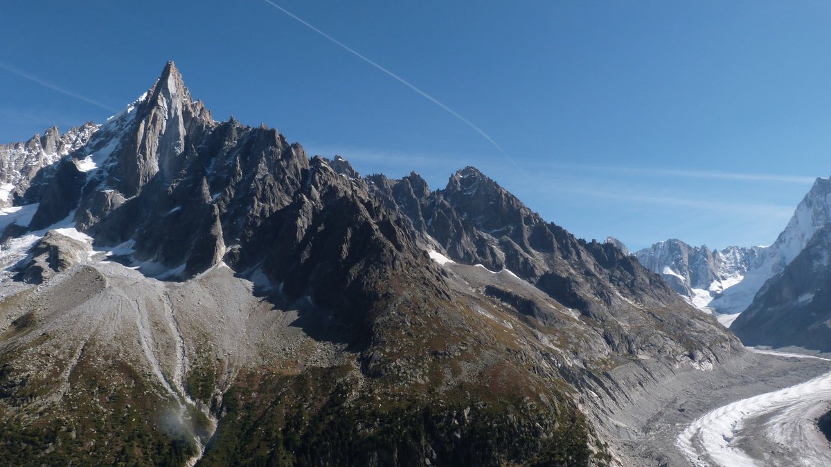
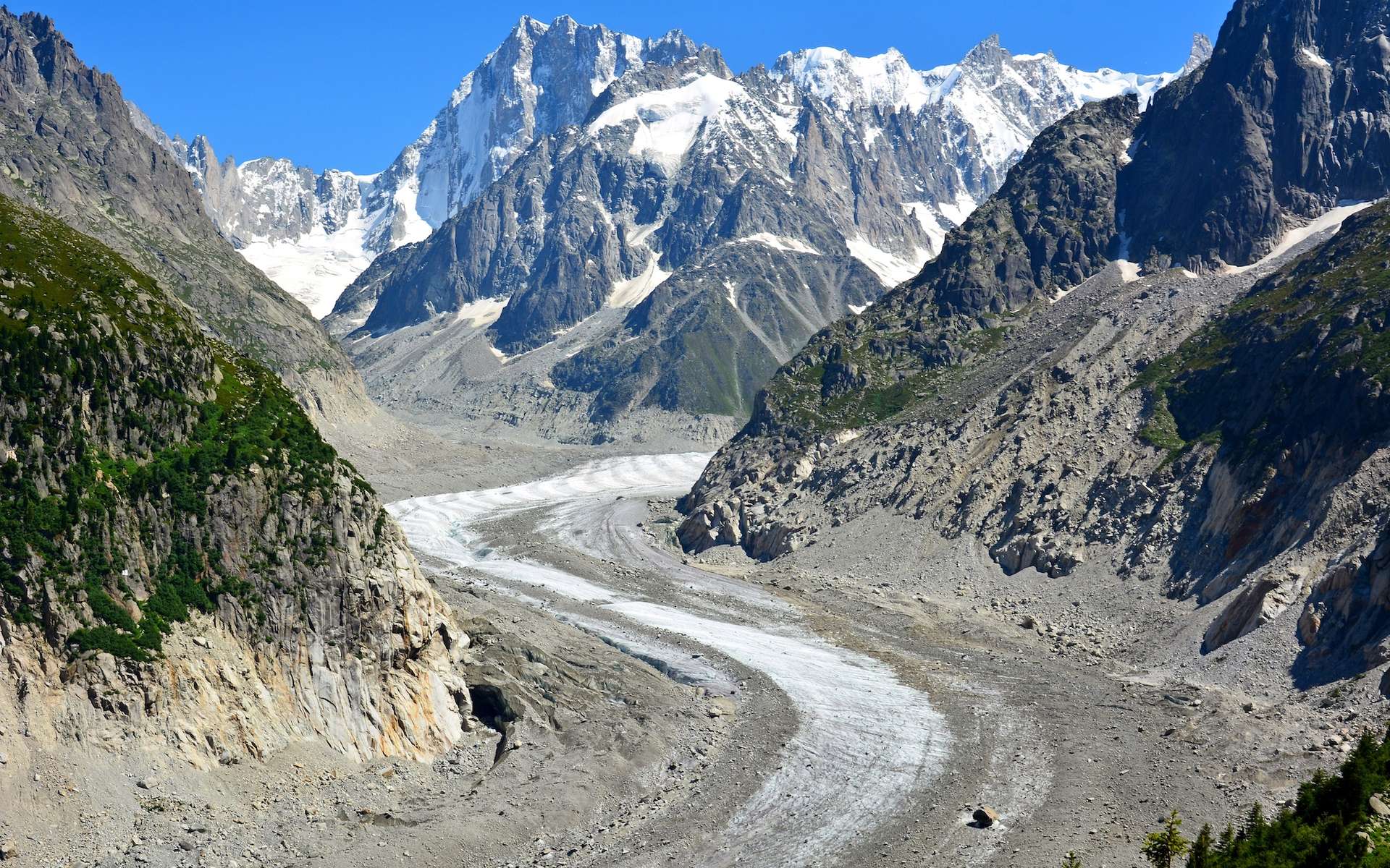
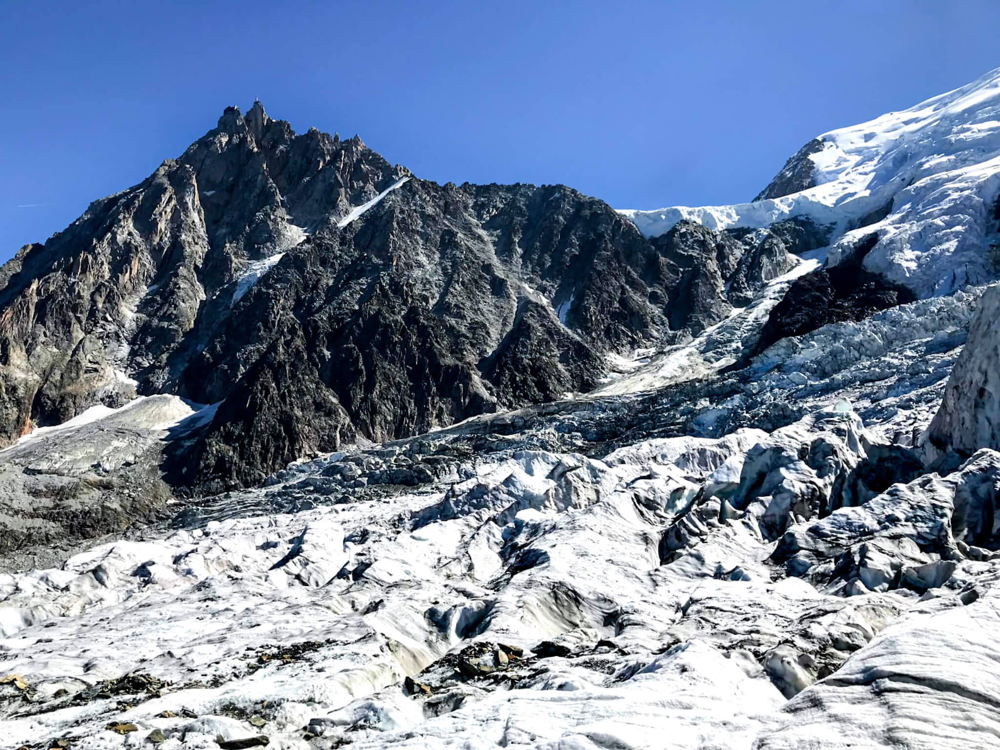
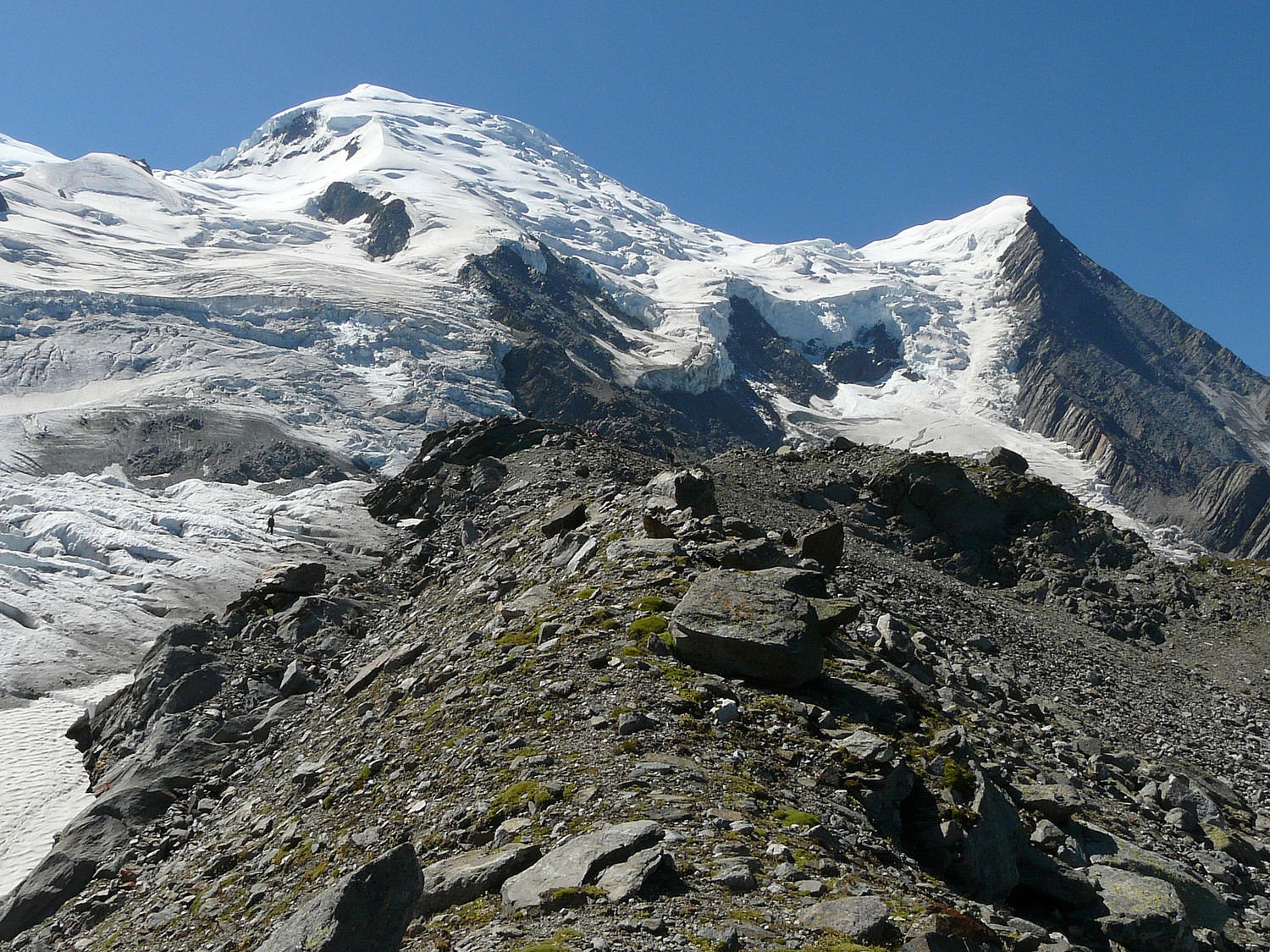
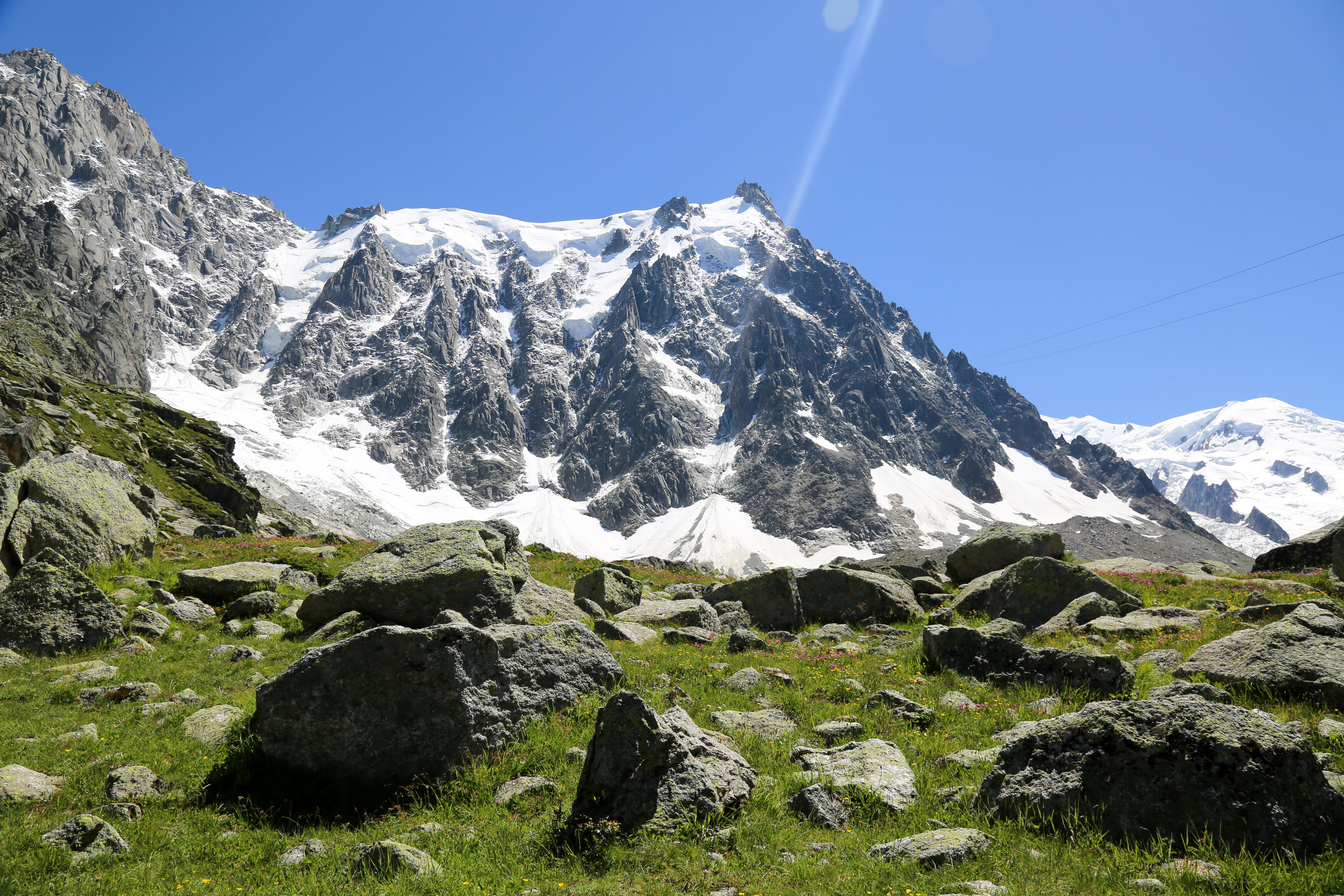
This starting hike from Chamonix reaches the Plan de l'Aiguille refreshment bar, passing through the refuge of the same name. The destination offers a nice view of Mont Blanc and the surrounding peaks.
It is possible to use a cable car to go there or back.

Already more than 200,000 users!
Uphill
1321m
Highest point
2287m
Downhill
1321m
Lowest point
1041m
Route type
There and back
Download the map on your smartphone to save battery and rest assured to always keep access to the route, even without signal.
Includes IGN France and Swisstopo.
I indicate whether dogs are allowed or prohibited on this trail
From May to September
1 rating
Also enjoy:

Already more than 200,000 users!