Uphill
1331m
Length
12km
Duration
8h30min
Elev gain
1331m
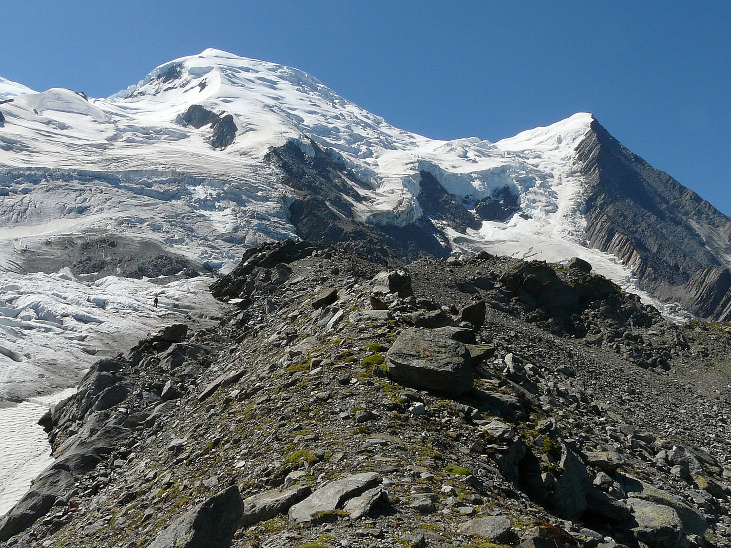
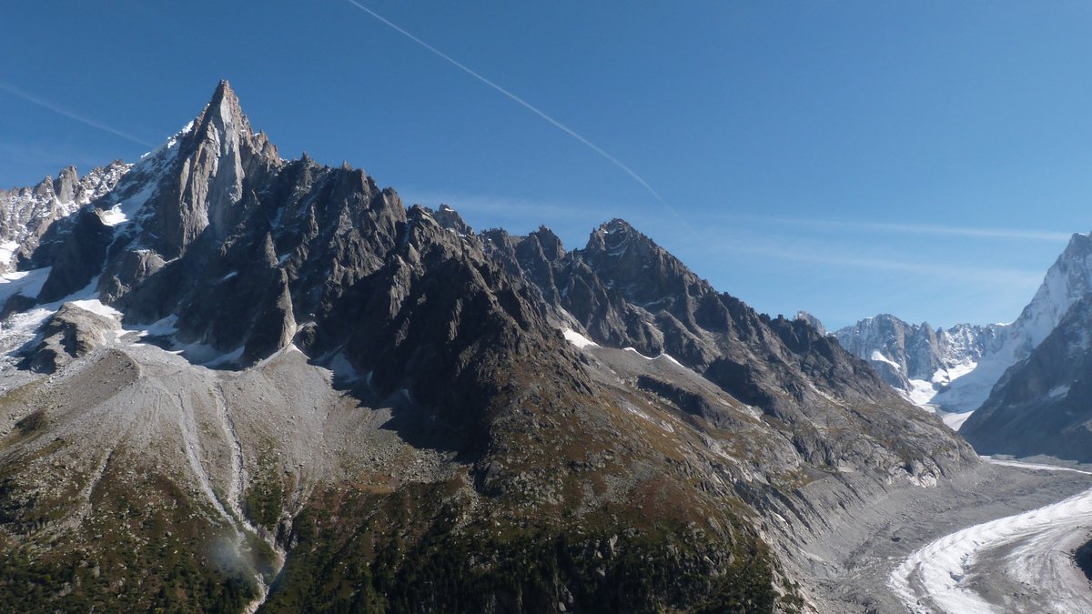
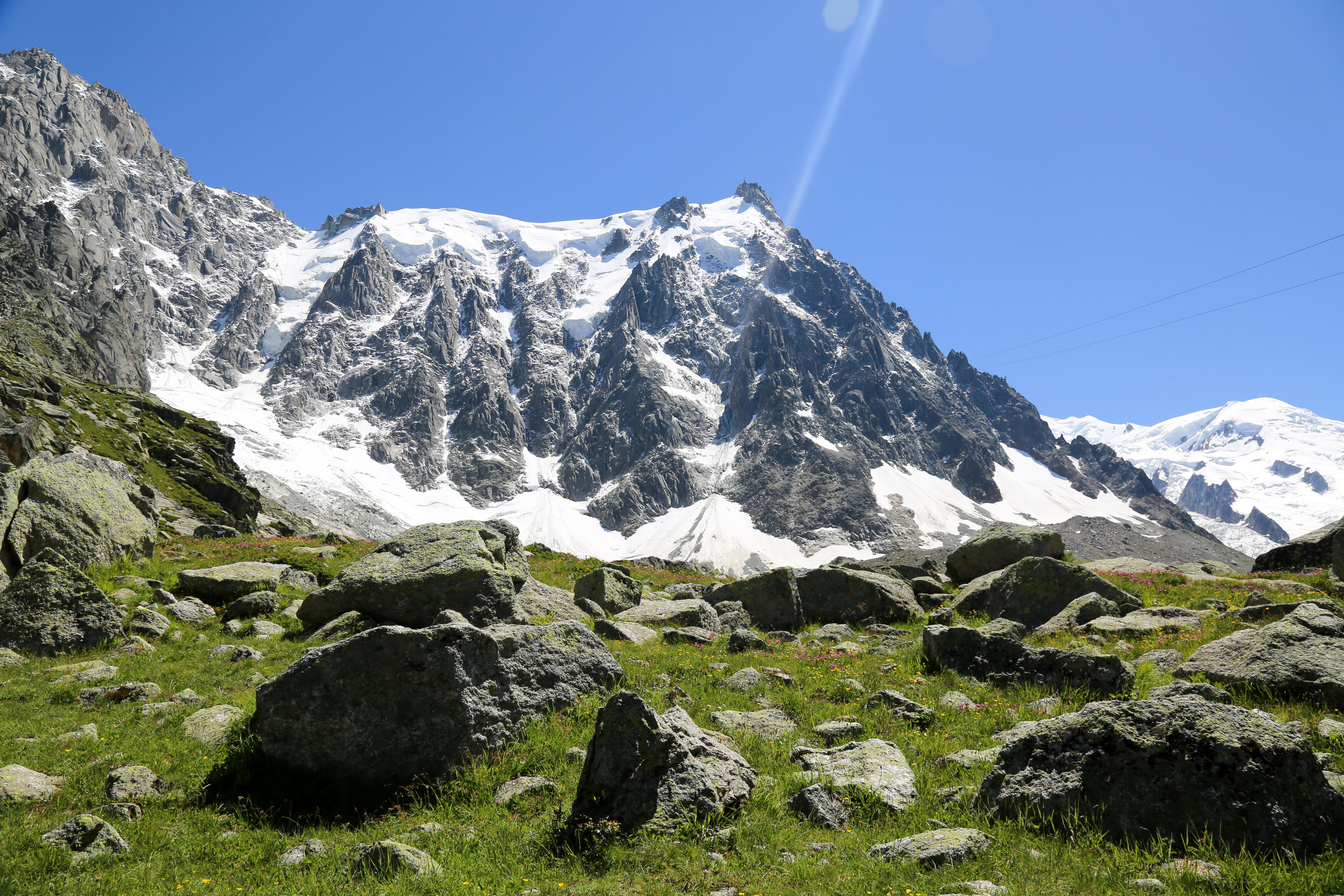
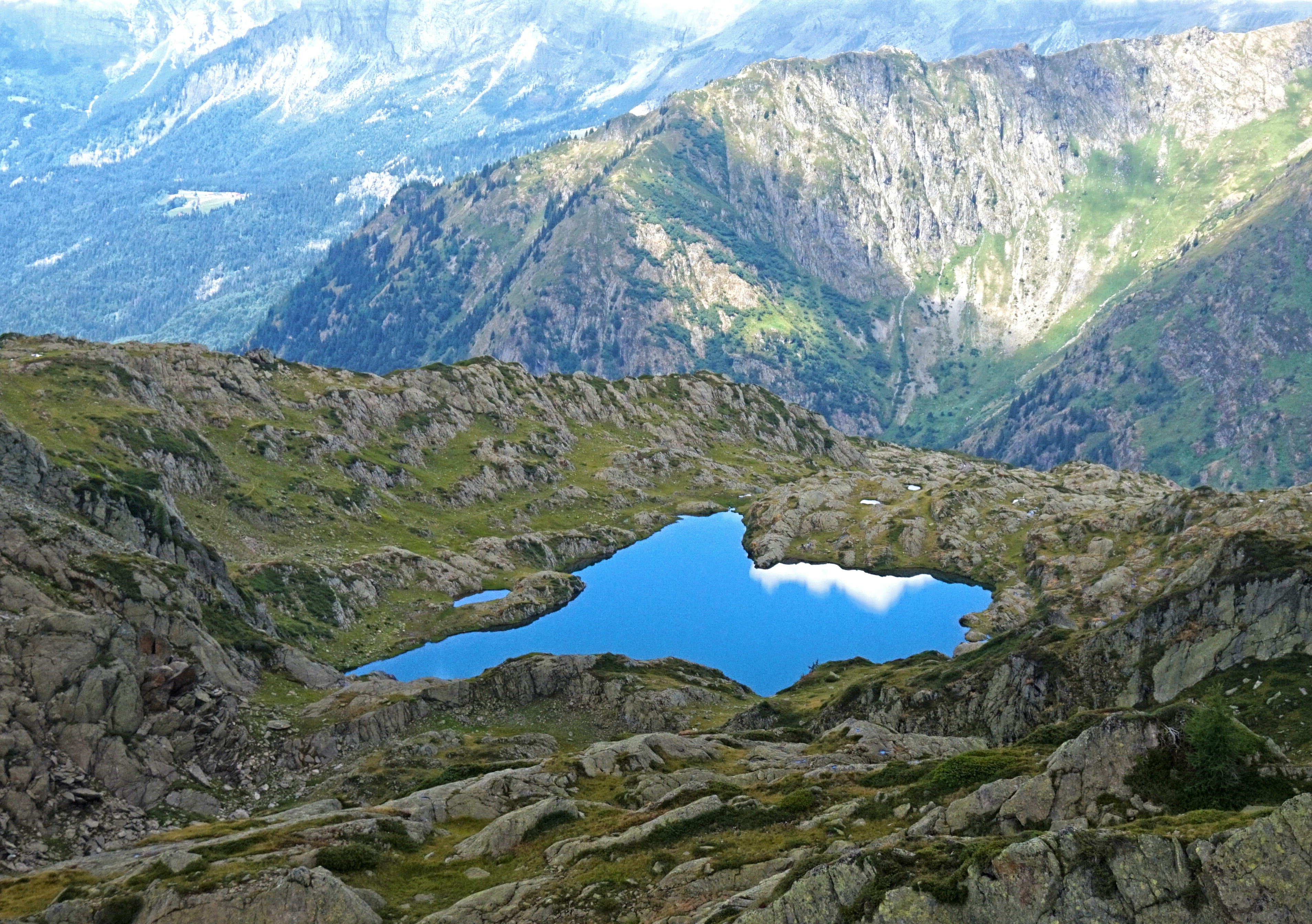
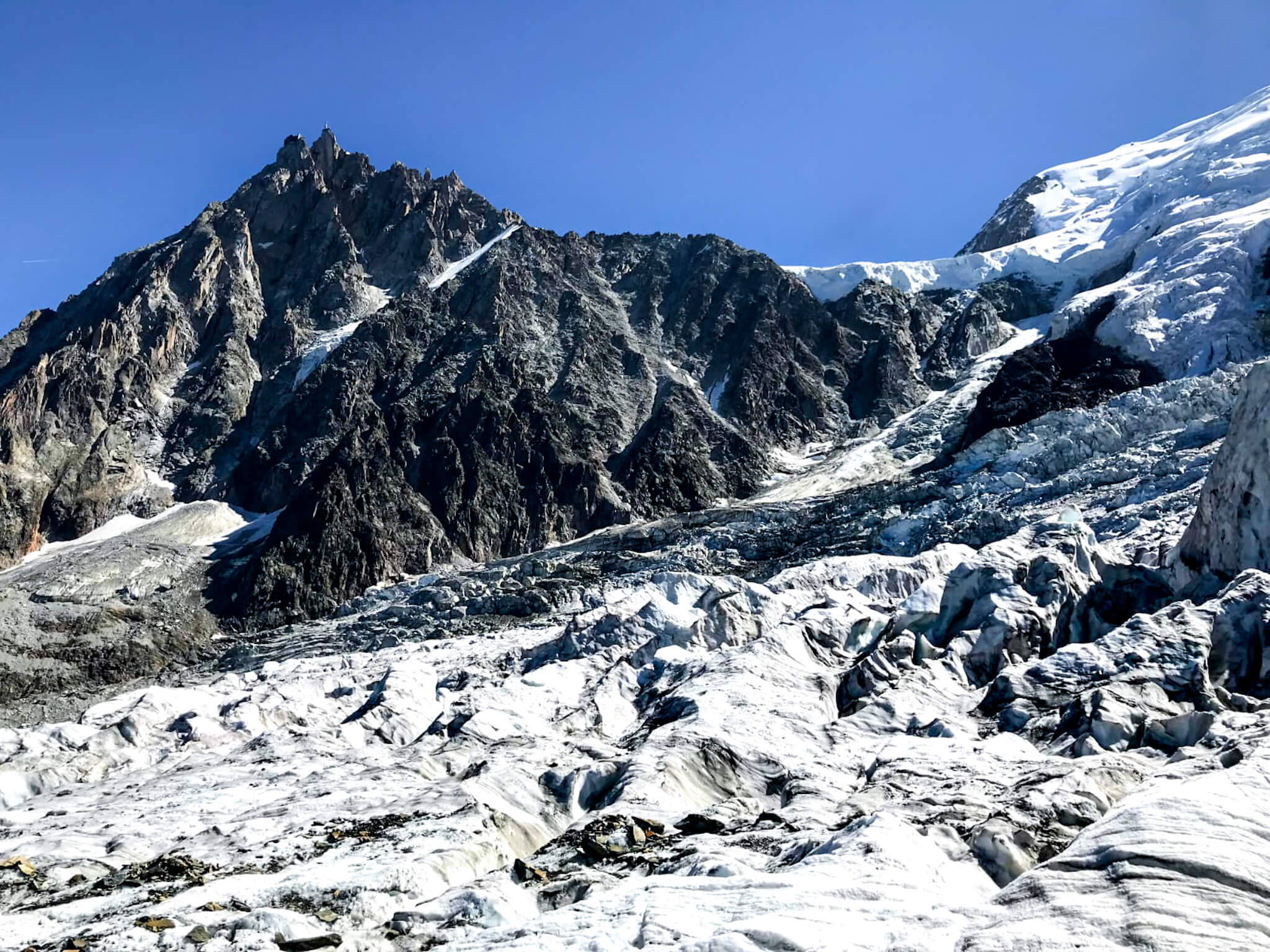
This is a there and back trail leading to the Bossons glacier, after having taken the chairlift of the same name.
It is also possible to do without the chairlift and do the entire climb on foot.

Already more than 200,000 users!
Uphill
1331m
Highest point
2580m
Downhill
1331m
Lowest point
1391m
Route type
There and back
Download the map on your smartphone to save battery and rest assured to always keep access to the route, even without signal.
Includes IGN France and Swisstopo.
I indicate whether dogs are allowed or prohibited on this trail
From June to September
0 ratings
Also enjoy:

Already more than 200,000 users!