Uphill
299m
France > Auvergne-Rhône-Alpes > Ardèche > Monts d'Ardèche Regional Natural Park
Length
5km
Duration
2h
Elev gain
299m
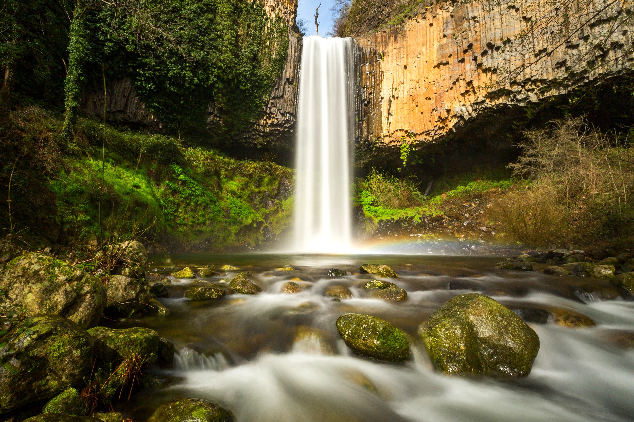
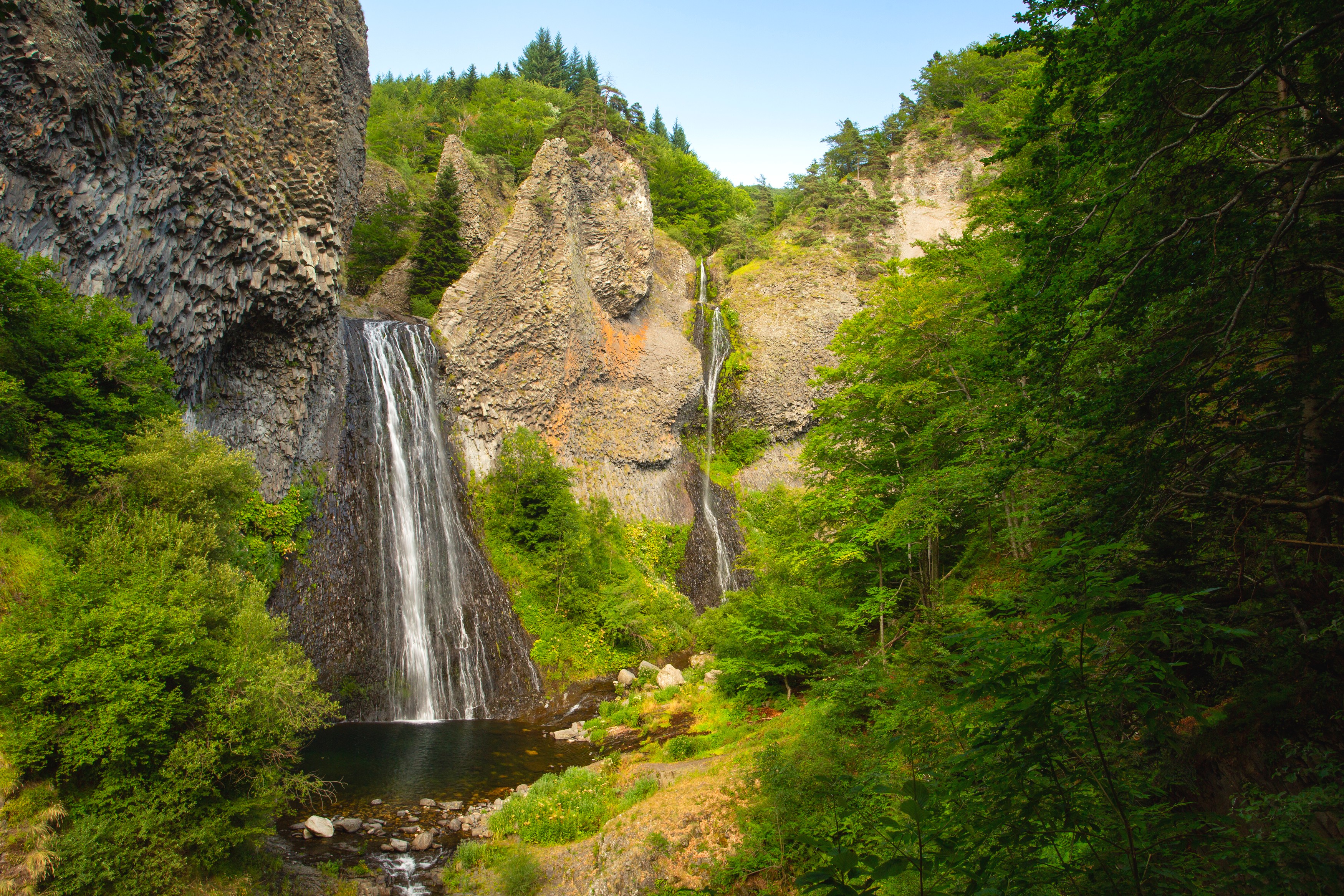
This hike begins in the charming village of Thueyts, perched on a basaltic platform above the Ardèche river.
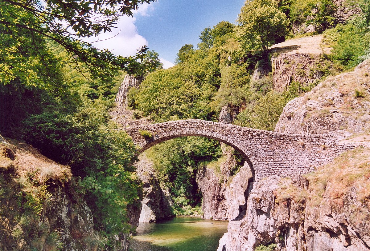
On the outward journey, the trail crosses the Devil's Bridge, a stone bridge spanning the Ardèche near a beach where swimming is possible. The route continues on the heights of the village, thus offering several panoramas.

Already more than 200,000 users!
Uphill
299m
Highest point
607m
Downhill
299m
Lowest point
380m
Route type
Loop
Download the map on your smartphone to save battery and rest assured to always keep access to the route, even without signal.
Includes IGN France and Swisstopo.
I indicate whether dogs are allowed or prohibited on this trail
All year
4 ratings
Also enjoy:

Already more than 200,000 users!