Uphill
771m
France > Auvergne-Rhône-Alpes > Ardèche > Monts d'Ardèche Regional Natural Park
Length
15km
Duration
6h
Elev gain
771m
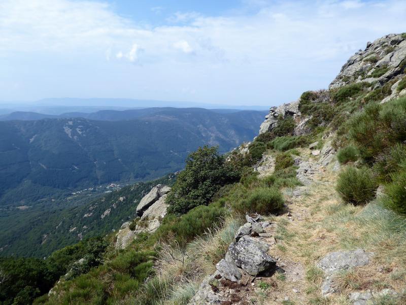
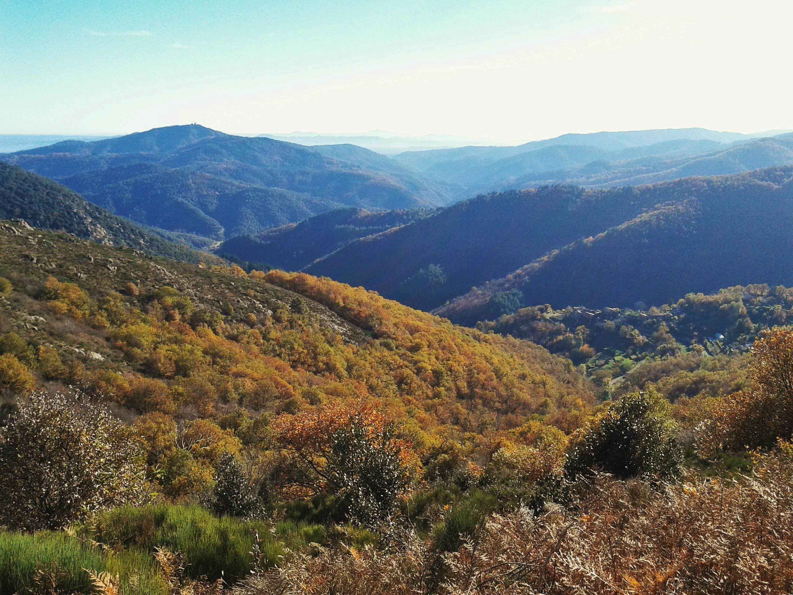
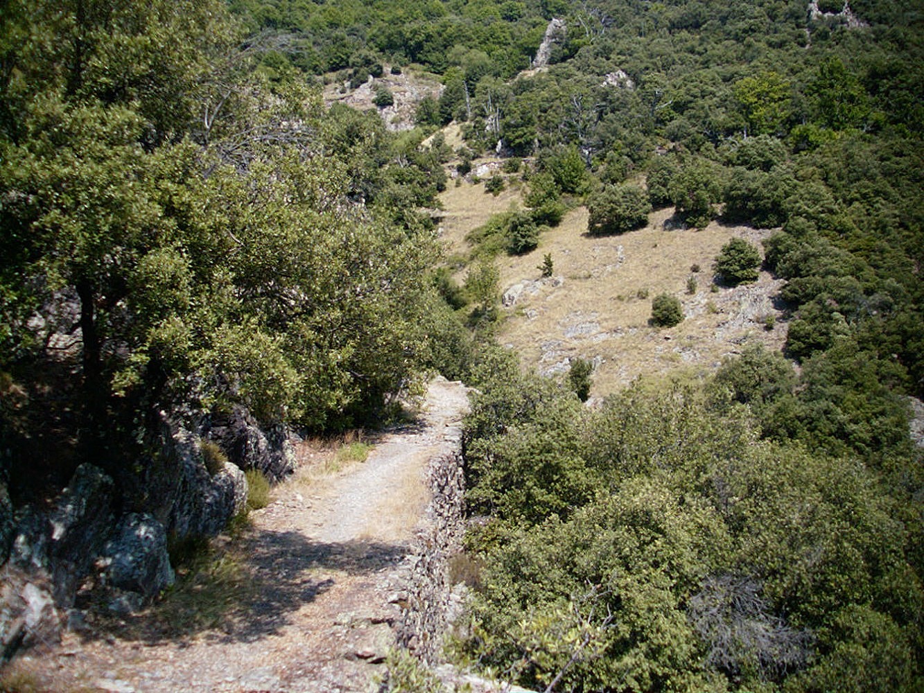
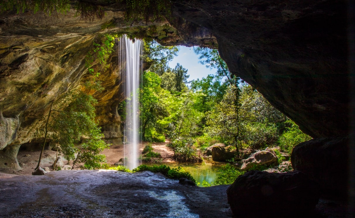
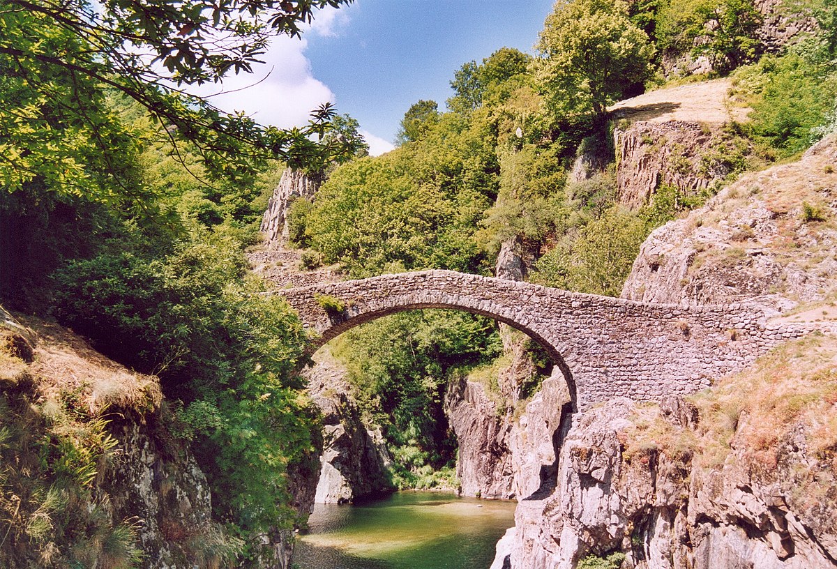
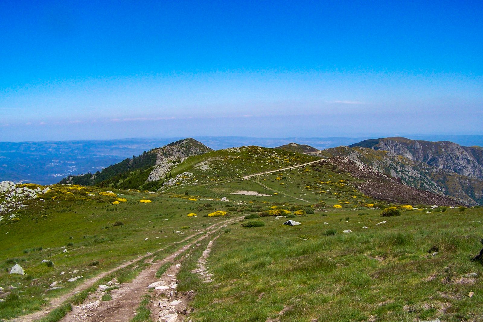
Starting from the village of Laboule, this path offers varied landscapes between forests, parts devoid of vegetation, and ridges.
The views of the surroundings are just as beautiful as they are numerous, extending over the entire Ardèche, Mont Ventoux, and the Alps in good weather.

Already more than 200,000 users!
Uphill
771m
Highest point
1408m
Downhill
771m
Lowest point
658m
Route type
Loop
Download the map on your smartphone to save battery and rest assured to always keep access to the route, even without signal.
Includes IGN France and Swisstopo.
I indicate whether dogs are allowed or prohibited on this trail
Can be difficult in Winter
0 ratings
Also enjoy:

Already more than 200,000 users!