Uphill
830m
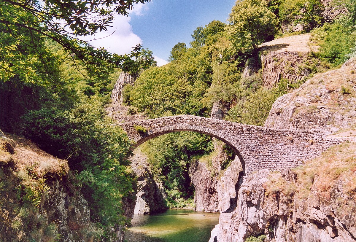
France > Auvergne-Rhône-Alpes > Ardèche > Monts d'Ardèche Regional Natural Park
Length
12km
Duration
6h
Elev gain
830m
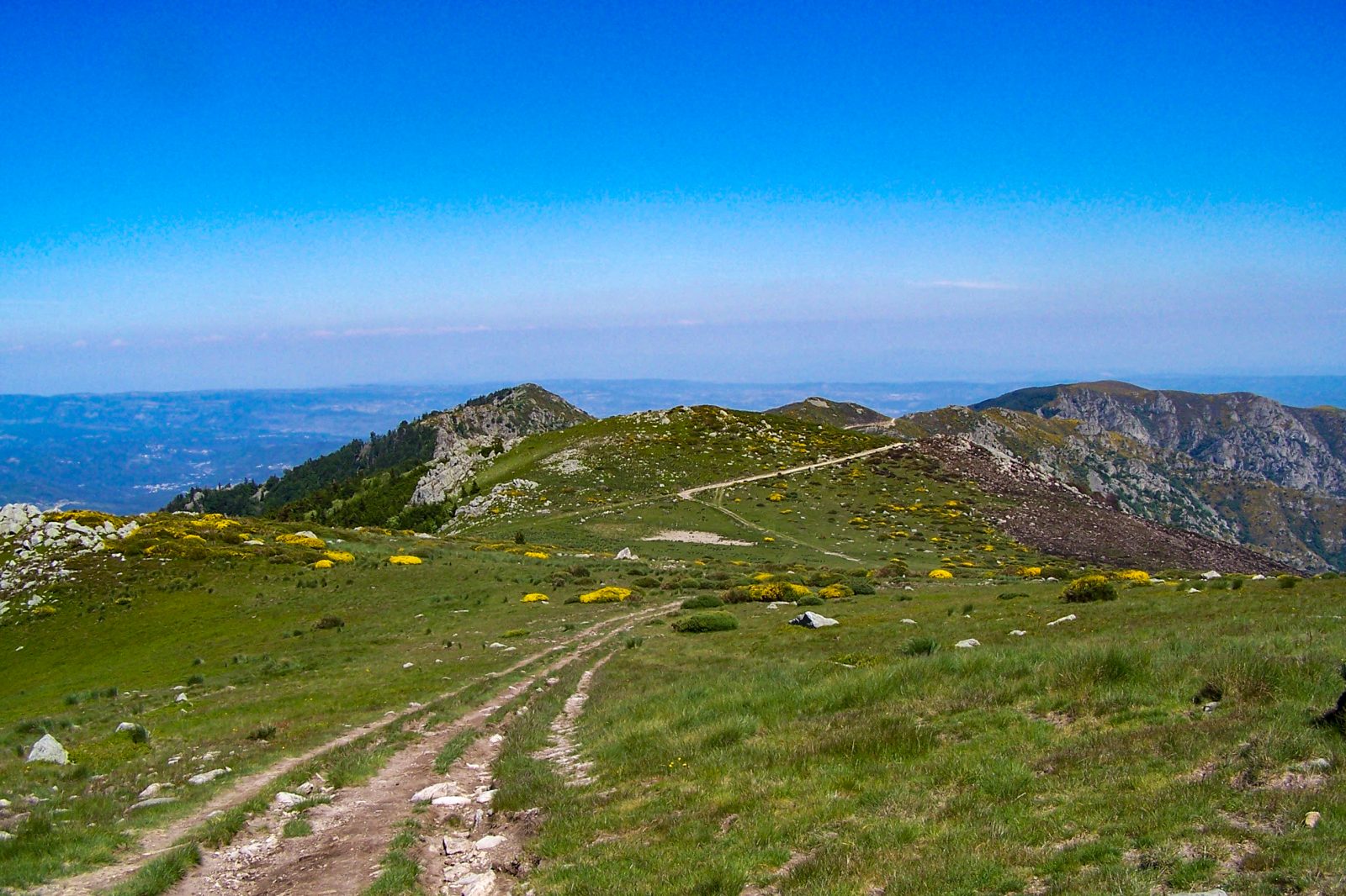
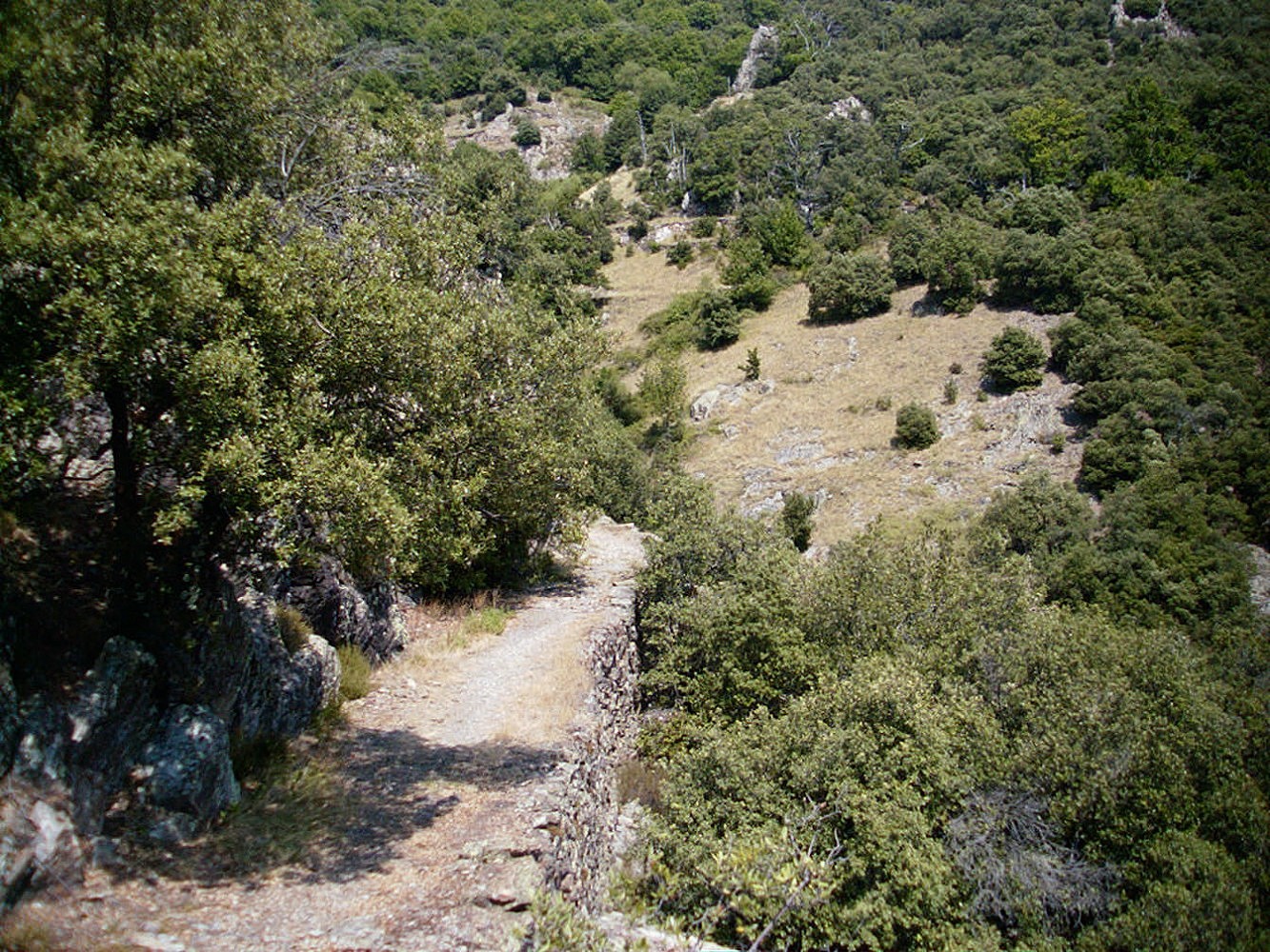
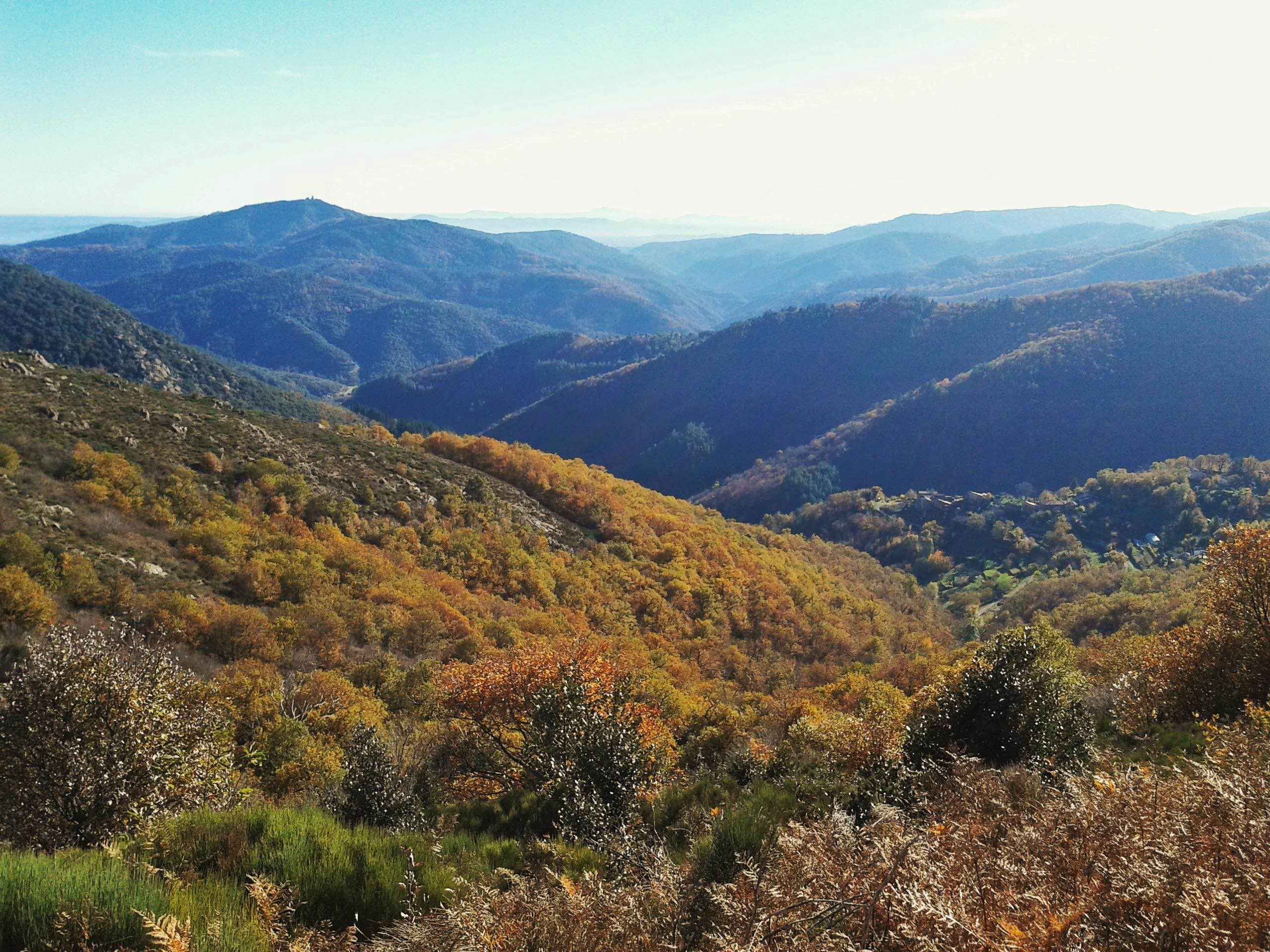
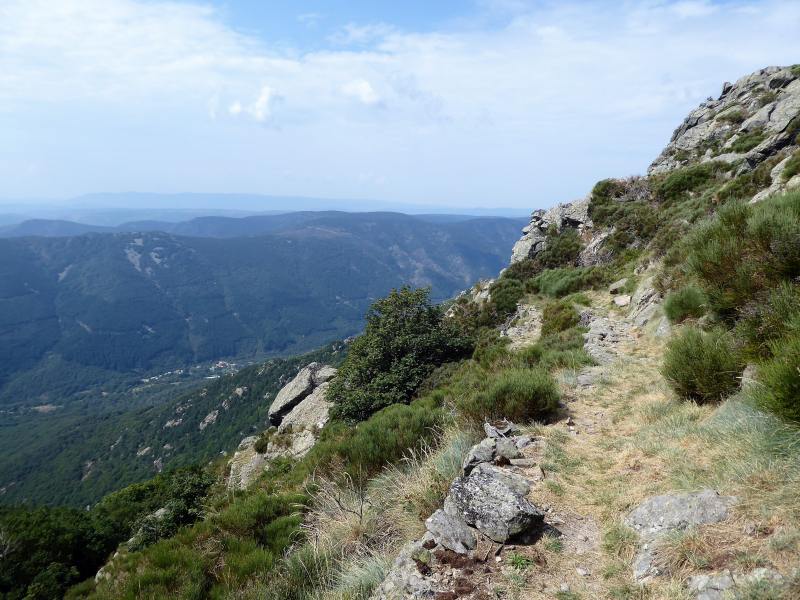
Quite a steep first climb to reach the Tanargue plateau, before enjoying a nice panorama of the Ardèche mountains. Varied landscapes.

Already more than 200,000 users!
Uphill
830m
Highest point
1437m
Downhill
830m
Lowest point
703m
Route type
Loop
Download the map on your smartphone to save battery and rest assured to always keep access to the route, even without signal.
Includes IGN France and Swisstopo.
I indicate whether dogs are allowed or prohibited on this trail
Can be difficult in Winter
0 ratings
Also enjoy:

Already more than 200,000 users!