Uphill
535m
France > Auvergne-Rhône-Alpes > Cantal > Volcans d'Auvergne Regional Natural Park
Length
6km
Duration
3h30min
Elev gain
535m
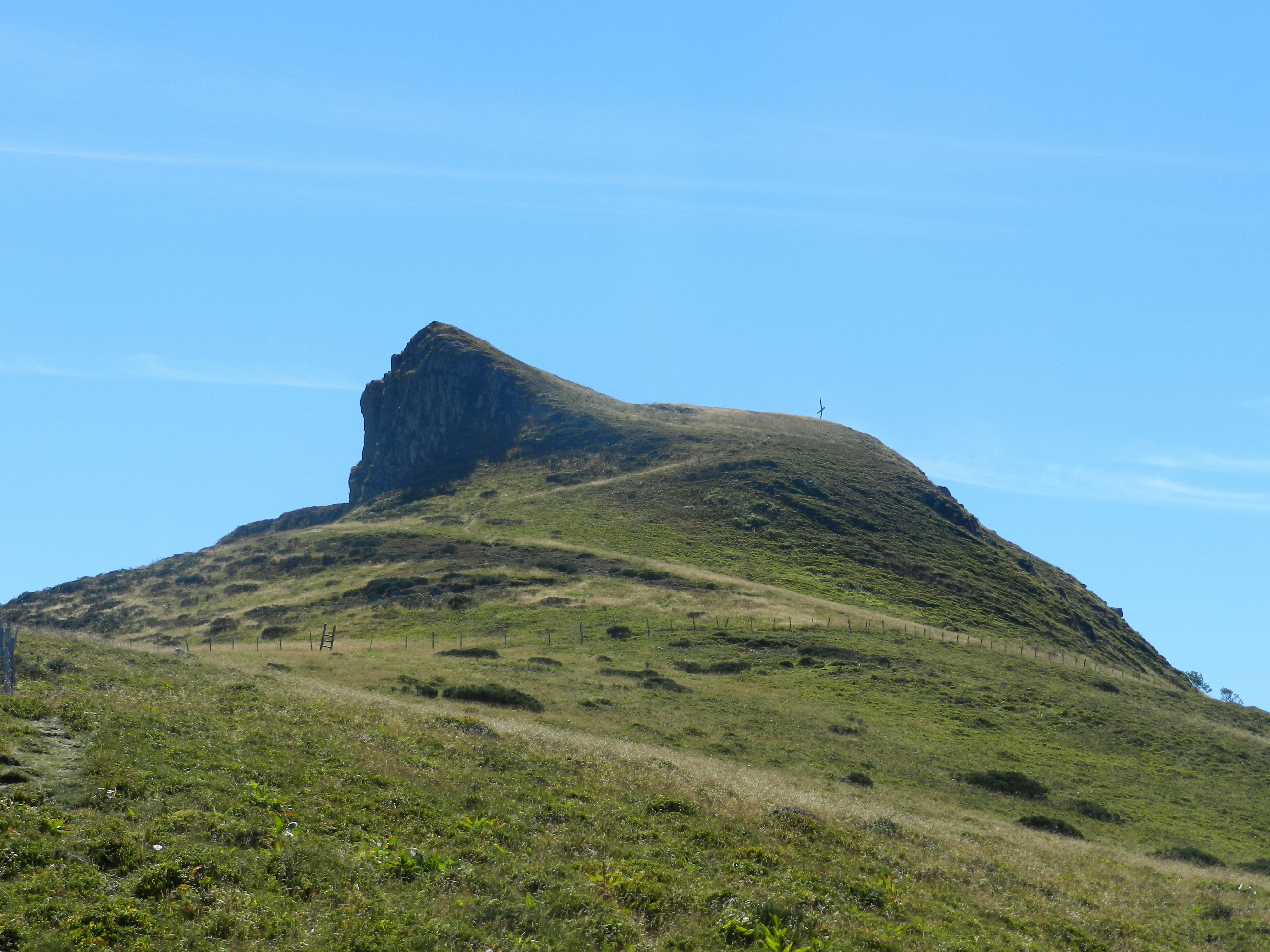
Starting from the Boudio gîte, this hike leads to the Puy de Seycheuse, located at an altitude of 1,650 metres. The route makes a round trip to the summit and runs along the Malriou stream, all in a splendid natural setting.

Already more than 200,000 users!
Uphill
535m
Highest point
1625m
Downhill
535m
Lowest point
1093m
Route type
There and back
Download the map on your smartphone to save battery and rest assured to always keep access to the route, even without signal.
Includes IGN France and Swisstopo.
I indicate whether dogs are allowed or prohibited on this trail
From May to October
0 ratings
Also enjoy:

Already more than 200,000 users!


