Uphill
507m
France > Auvergne-Rhône-Alpes > Cantal > Volcans d'Auvergne Regional Natural Park
Length
8km
Duration
3h30min
Elev gain
507m
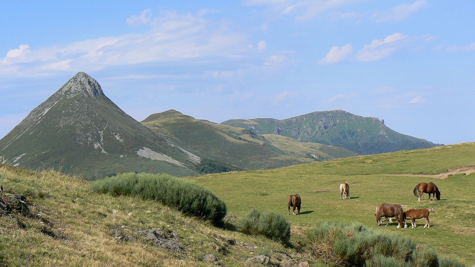
From Les Chazes, ascent of a summit of the Cantal mountains with an atypical shape. The climb is steep and exposed, while the descent is gentle and in the forest. And of course, the panorama is splendid.

Already more than 200,000 users!
Uphill
507m
Highest point
1626m
Downhill
507m
Lowest point
1131m
Route type
Loop
Download the map on your smartphone to save battery and rest assured to always keep access to the route, even without signal.
Includes IGN France and Swisstopo.
2 ratings
Sentier d’une très grande richesse botanique 🤩
Also enjoy:

Already more than 200,000 users!


