Uphill
802m
Length
15km
Duration
6h
Elev gain
802m
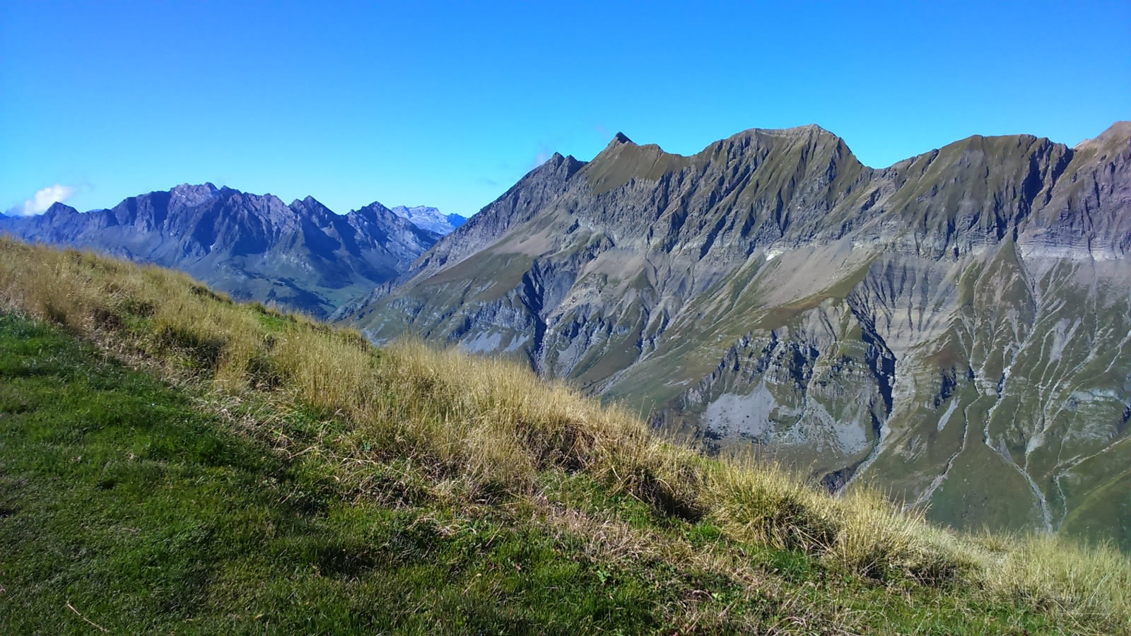
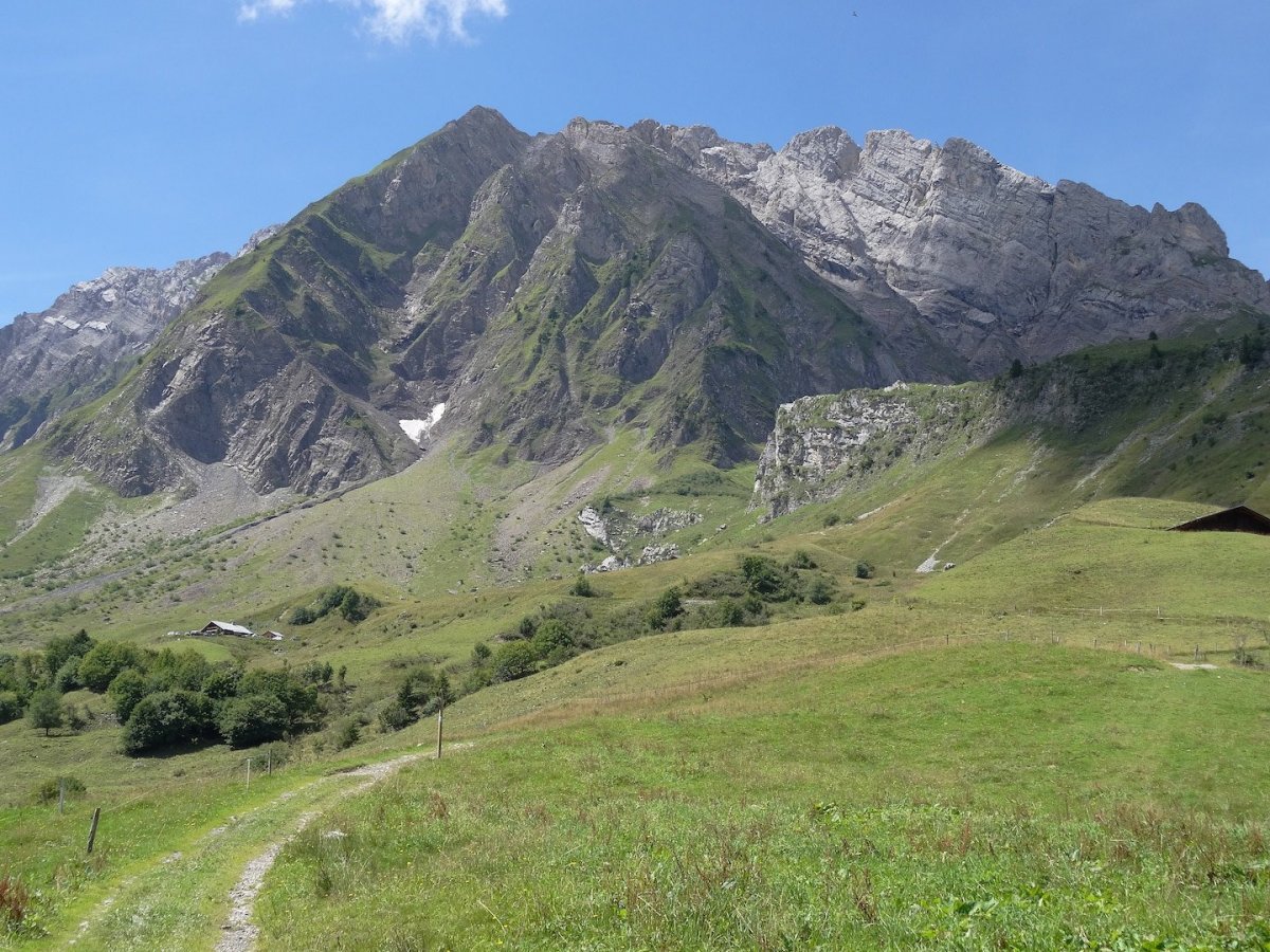
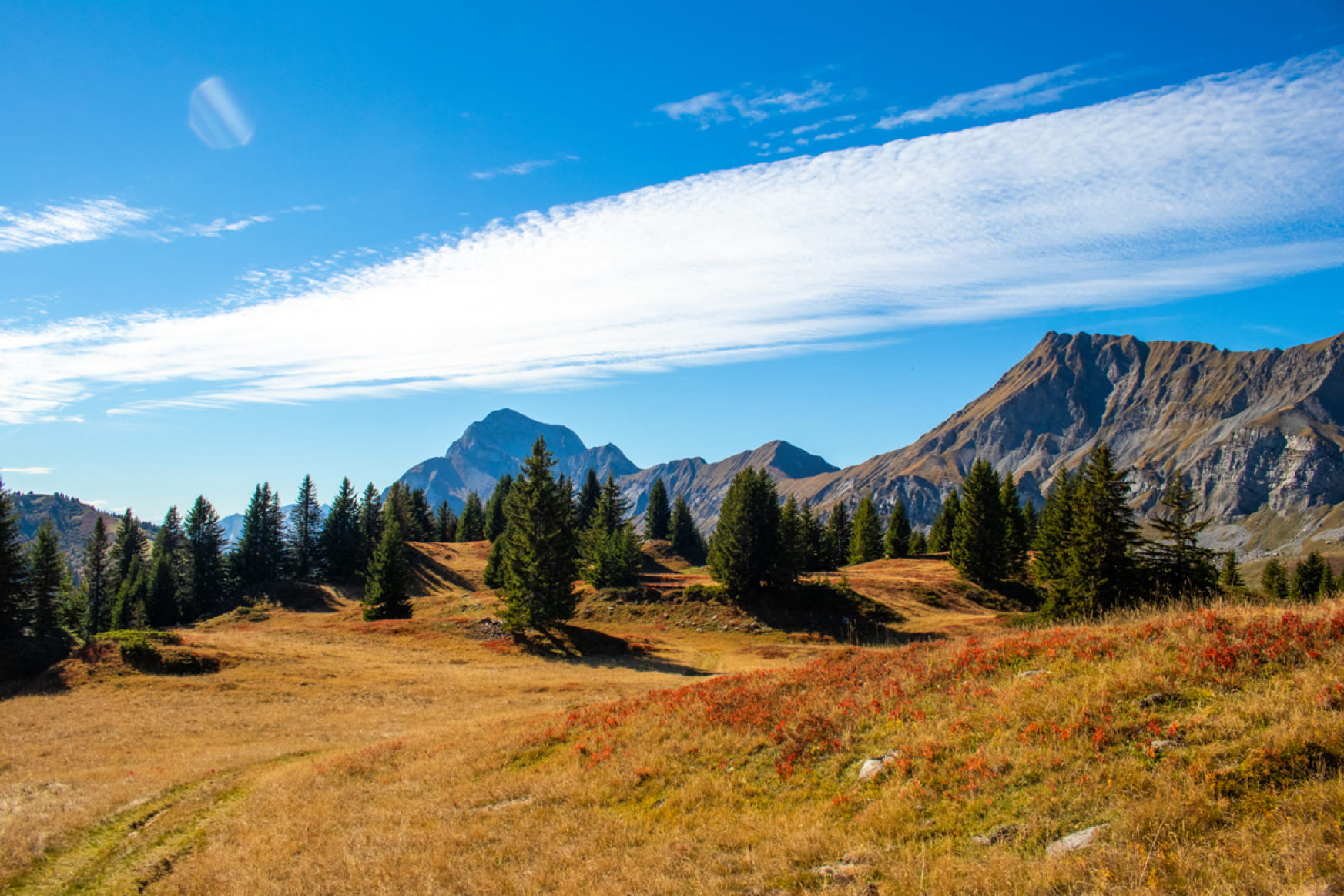
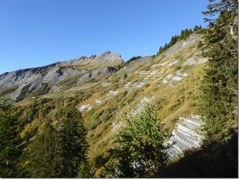
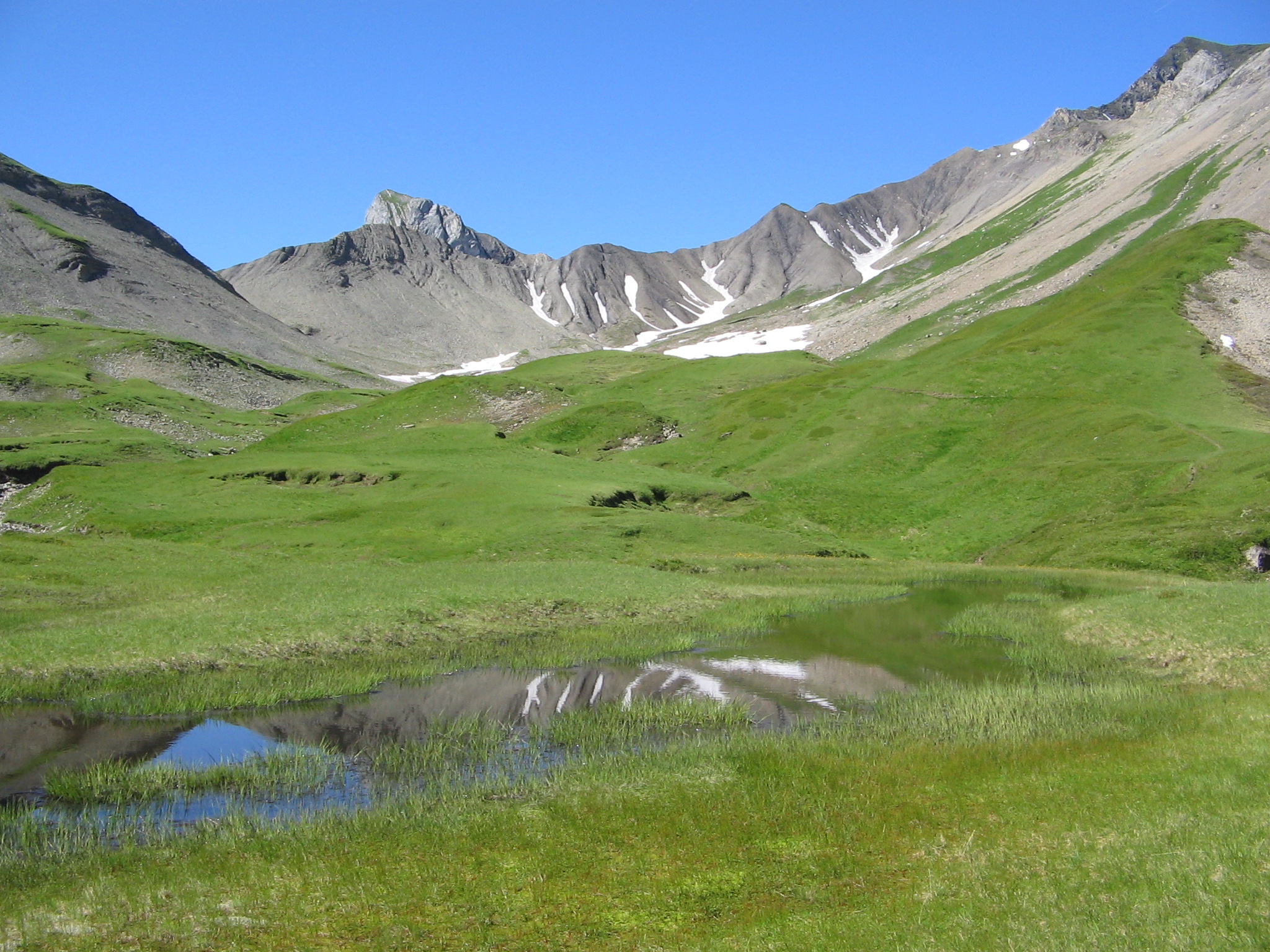
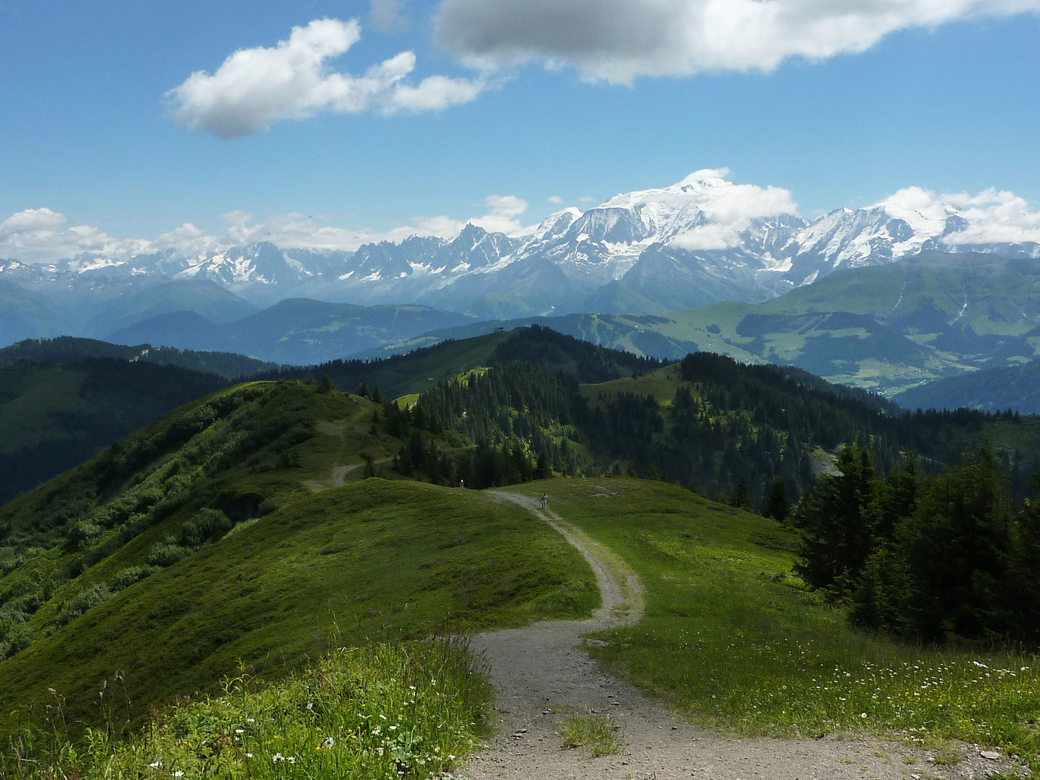
Hike from La Tonnaz, leading to the Plan de l'Aar refuge and the head of Torraz (1,930 m). The panorama at the top is breathtaking, but must be earned after a relatively challenging climb.

Already more than 200,000 users!
Uphill
802m
Highest point
1919m
Downhill
802m
Lowest point
1149m
Route type
Loop
Download the map on your smartphone to save battery and rest assured to always keep access to the route, even without signal.
Includes IGN France and Swisstopo.
I indicate whether dogs are allowed or prohibited on this trail
From May to October
0 ratings
Also enjoy:

Already more than 200,000 users!