Uphill
868m
Length
11km
Duration
6h
Elev gain
868m
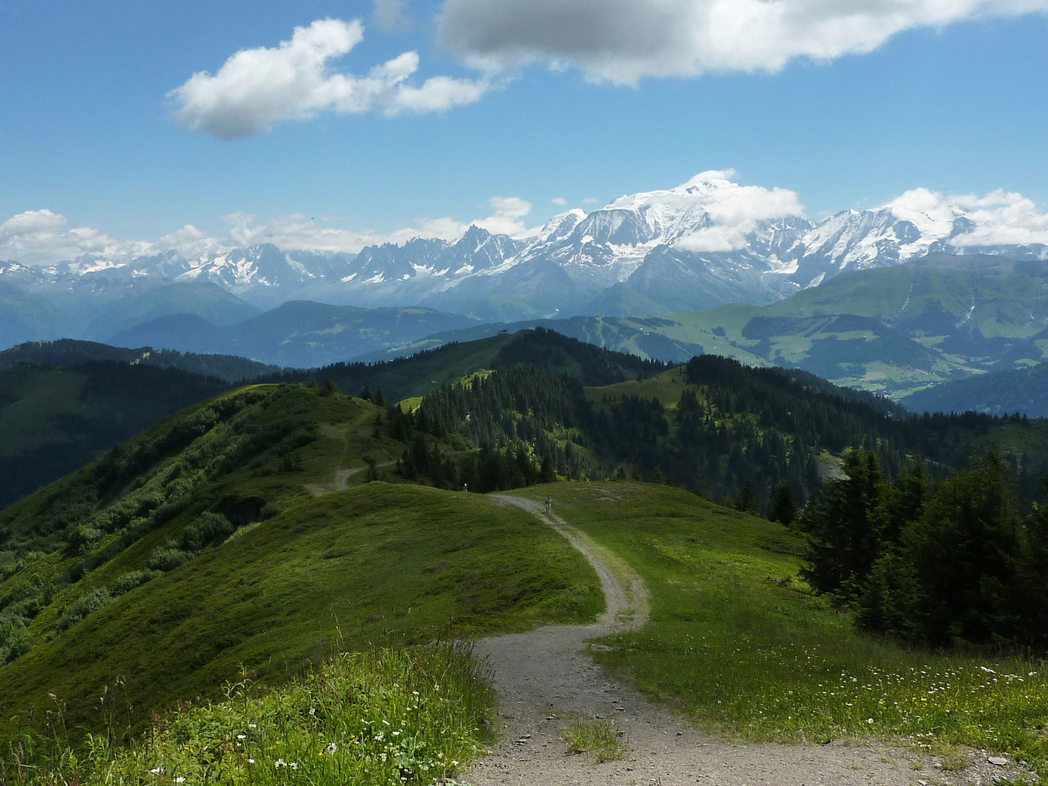
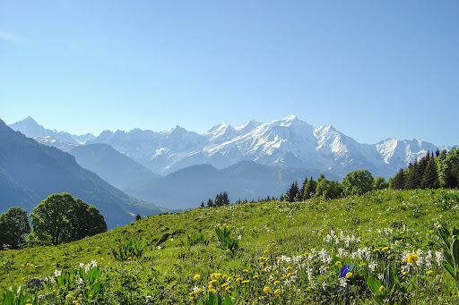
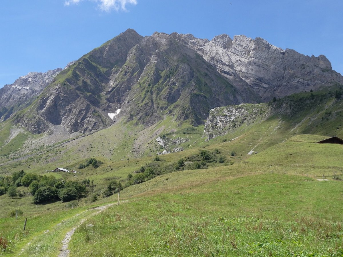
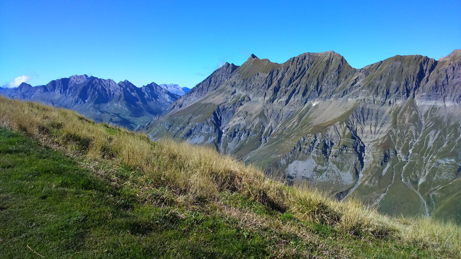
This trail starts in the forest before joining a crest line leading from Petit Croisse Baulet to Croisse Baulet (2,236 m). The panorama on Mont-Blanc is then superb.

Already more than 200,000 users!
Uphill
868m
Highest point
2220m
Downhill
868m
Lowest point
1461m
Route type
There and back
Download the map on your smartphone to save battery and rest assured to always keep access to the route, even without signal.
Includes IGN France and Swisstopo.
I indicate whether dogs are allowed or prohibited on this trail
From May to September
0 ratings
Also enjoy:

Already more than 200,000 users!