Uphill
919m
Length
11km
Duration
6h30min
Elev gain
919m
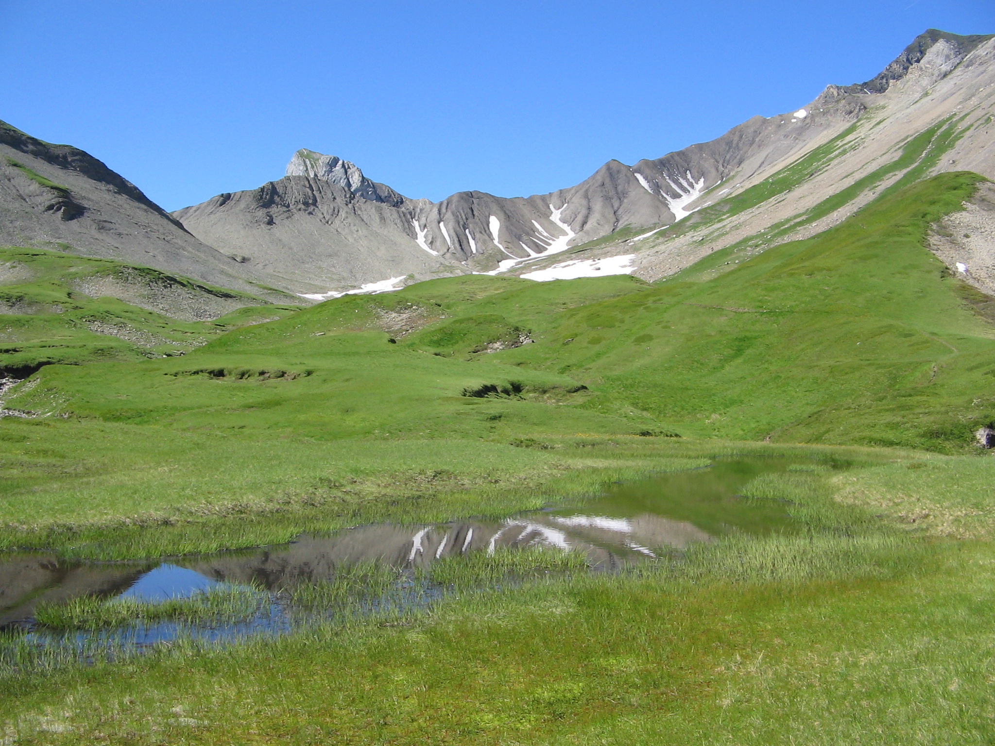
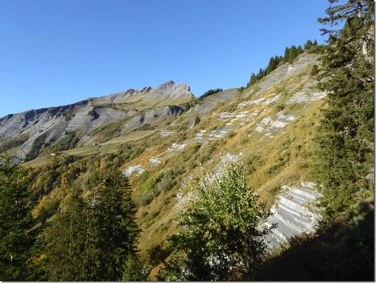
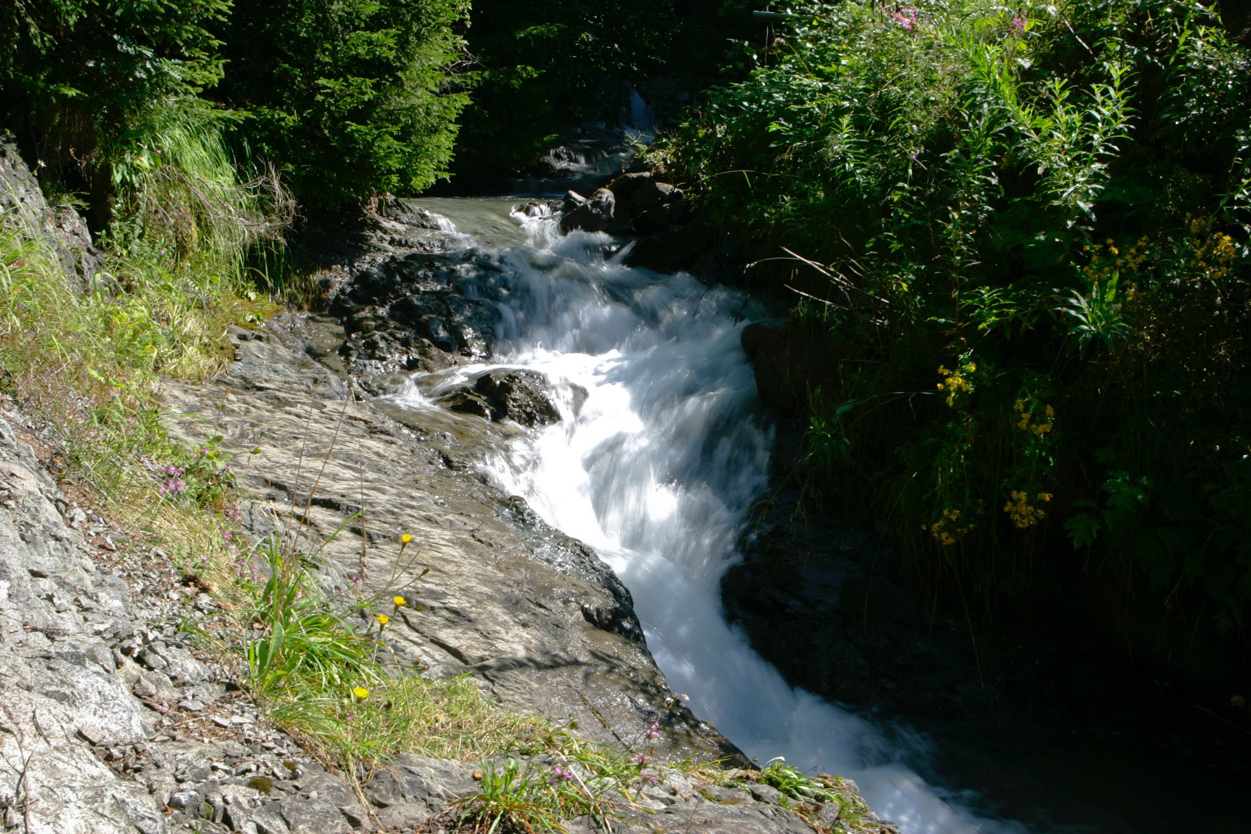
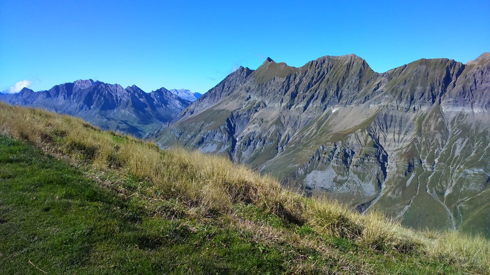
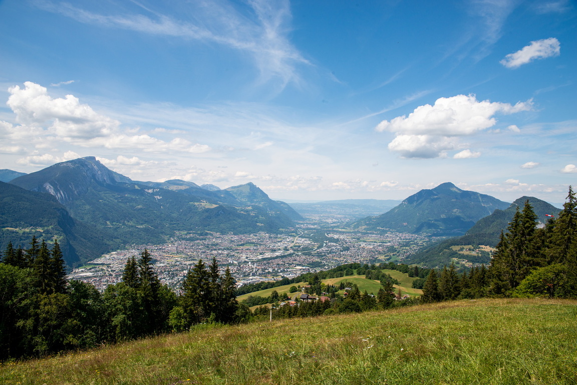
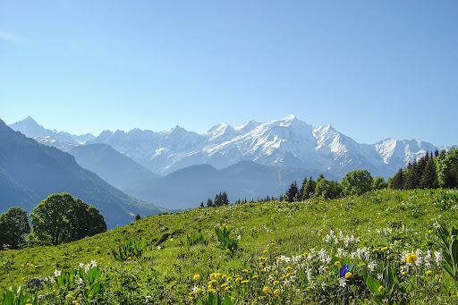
This hike at the foot of the Aravis offers a magnificent panorama of the Mont-Blanc range. The route takes several tracks in the forest, then narrower paths once in the mountain pastures.

Already more than 200,000 users!
Uphill
919m
Highest point
1849m
Downhill
919m
Lowest point
972m
Route type
Loop
Download the map on your smartphone to save battery and rest assured to always keep access to the route, even without signal.
Includes IGN France and Swisstopo.
I indicate whether dogs are allowed or prohibited on this trail
From May to October
1 rating
Also enjoy:

Already more than 200,000 users!