Uphill
185m
Length
7km
Duration
2h
Elev gain
185m
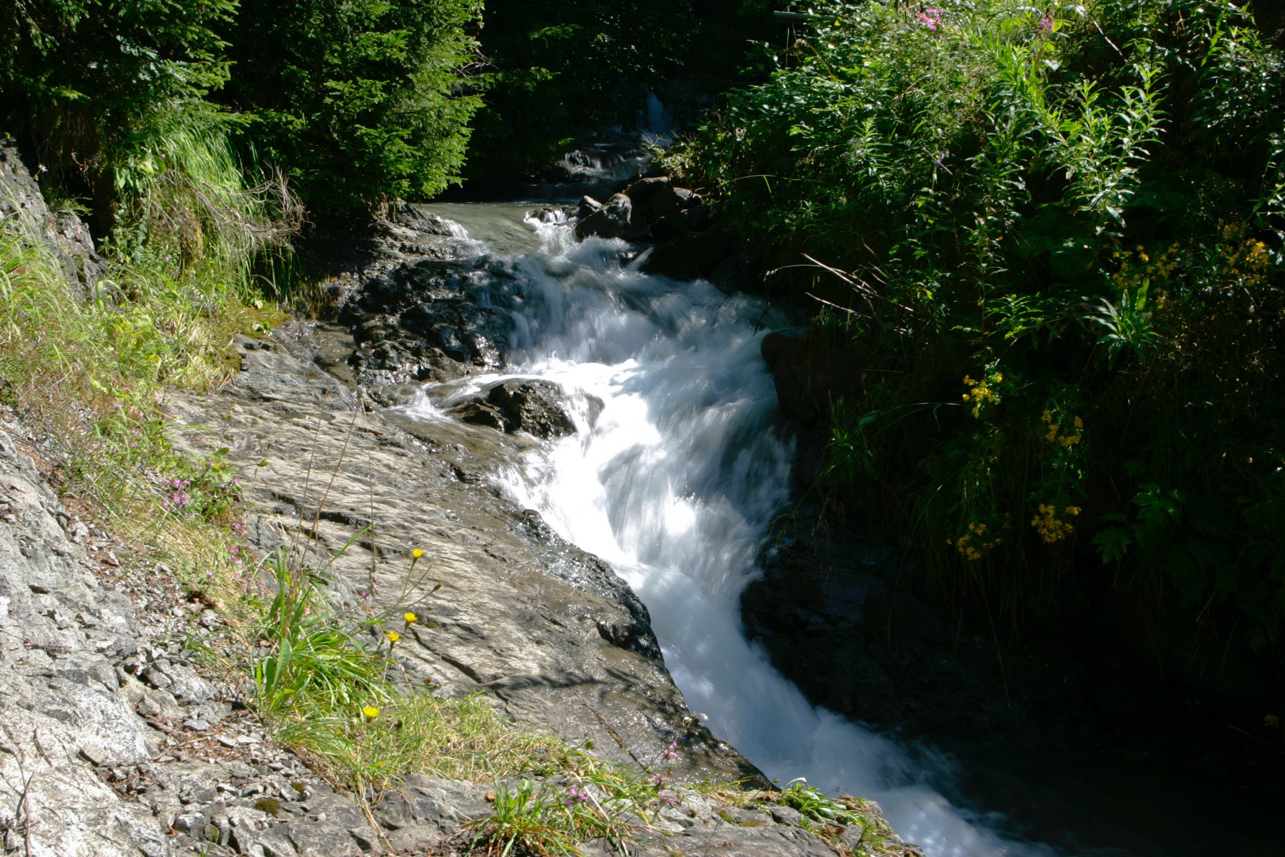
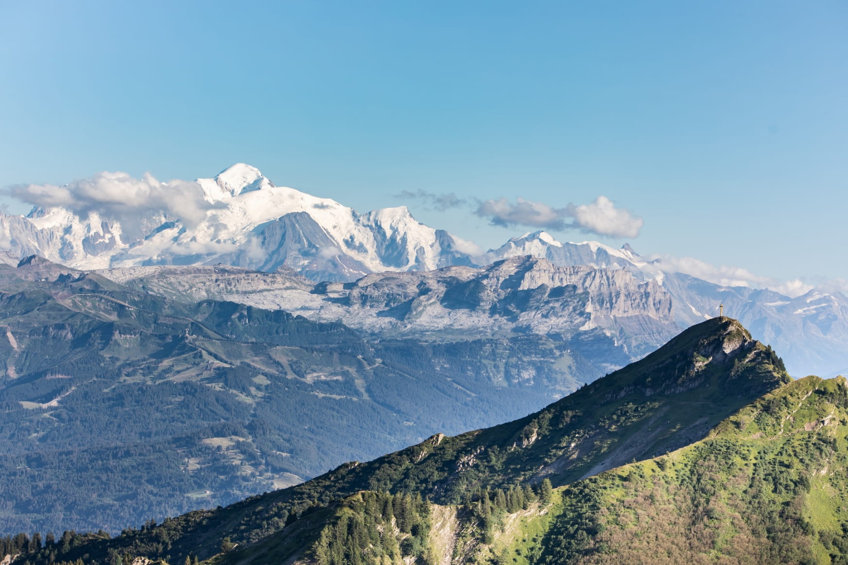
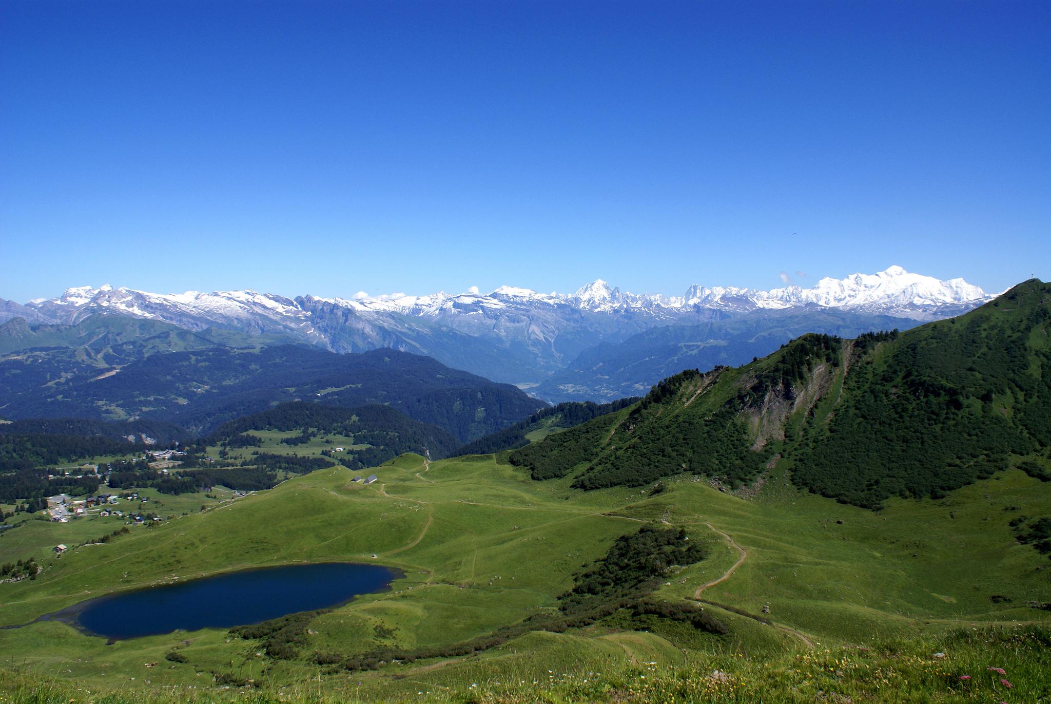
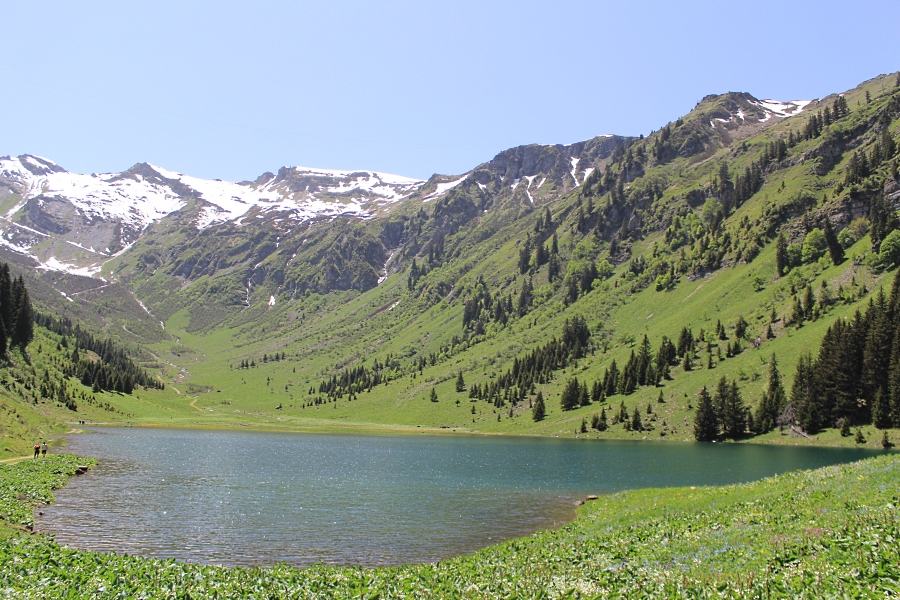
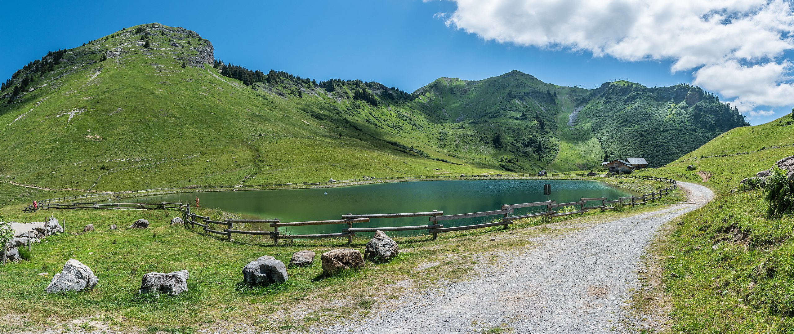
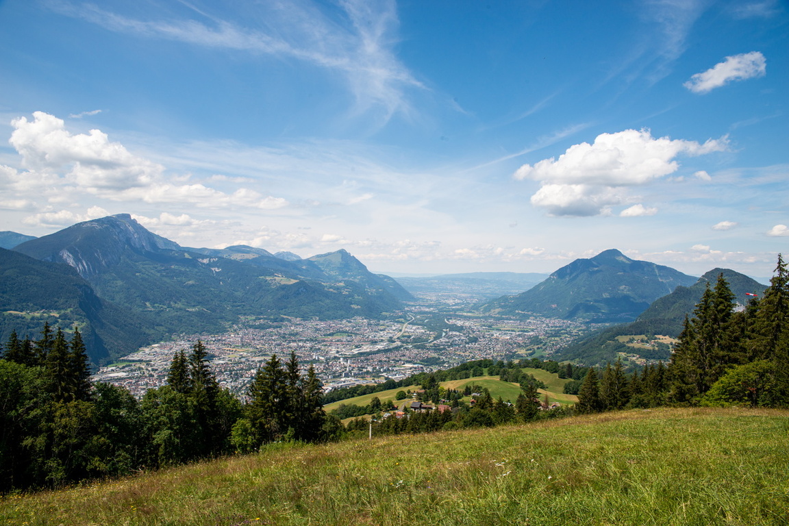
This is an easy walk on wide paths, offering a beautiful view of the Giffre and Arve valleys.
Only negative point to mention: the path is located near a high voltage line.

Already more than 200,000 users!
Uphill
185m
Highest point
1457m
Downhill
185m
Lowest point
1276m
Route type
Loop
Download the map on your smartphone to save battery and rest assured to always keep access to the route, even without signal.
Includes IGN France and Swisstopo.
I indicate whether dogs are allowed or prohibited on this trail
Can be difficult in Winter
0 ratings
Also enjoy:

Already more than 200,000 users!