Uphill
415m
France > Auvergne-Rhône-Alpes > Haute-Savoie
Length
8km
Duration
3h
Elev gain
415m
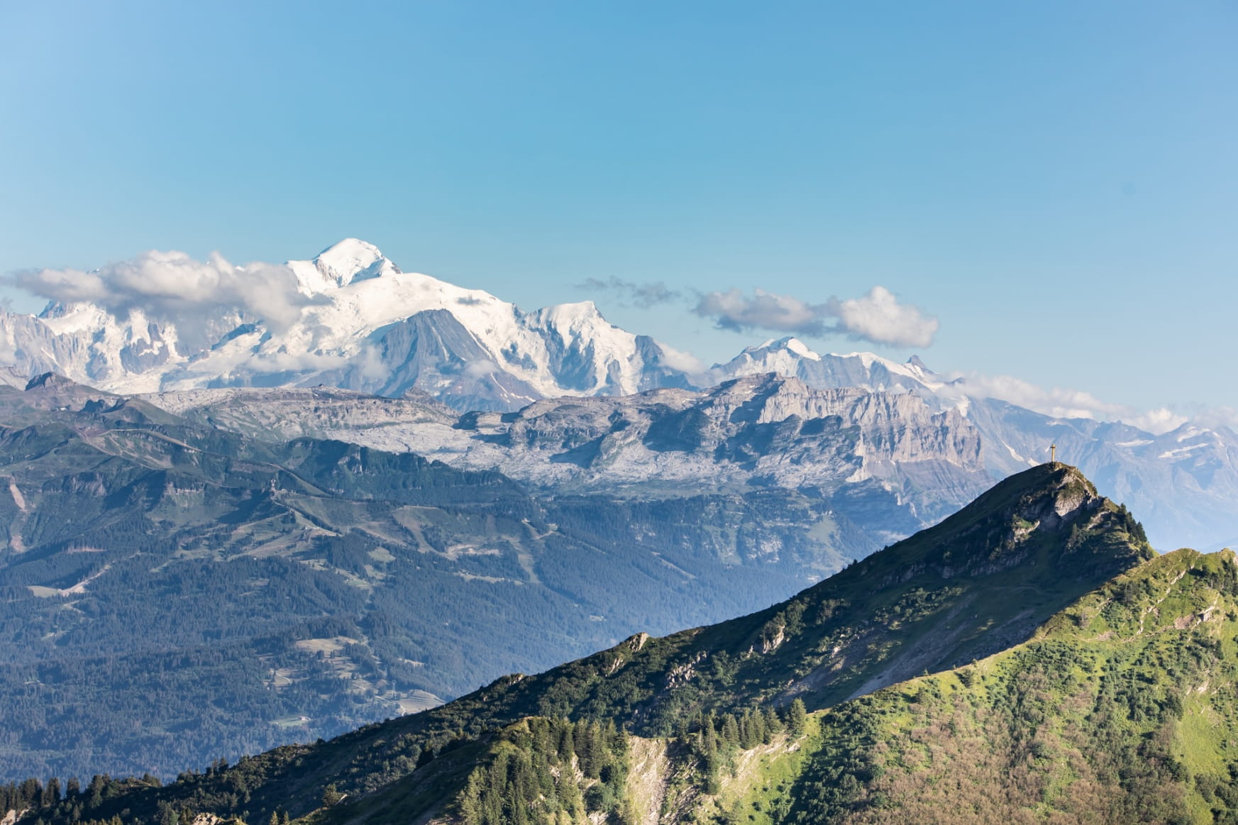
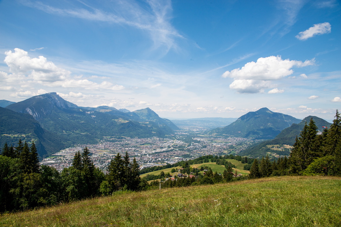
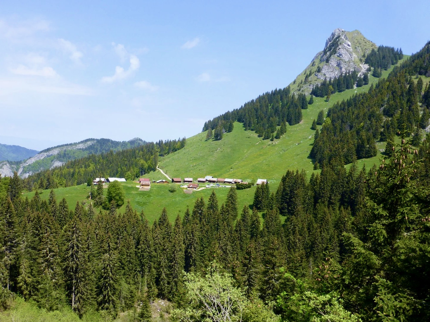
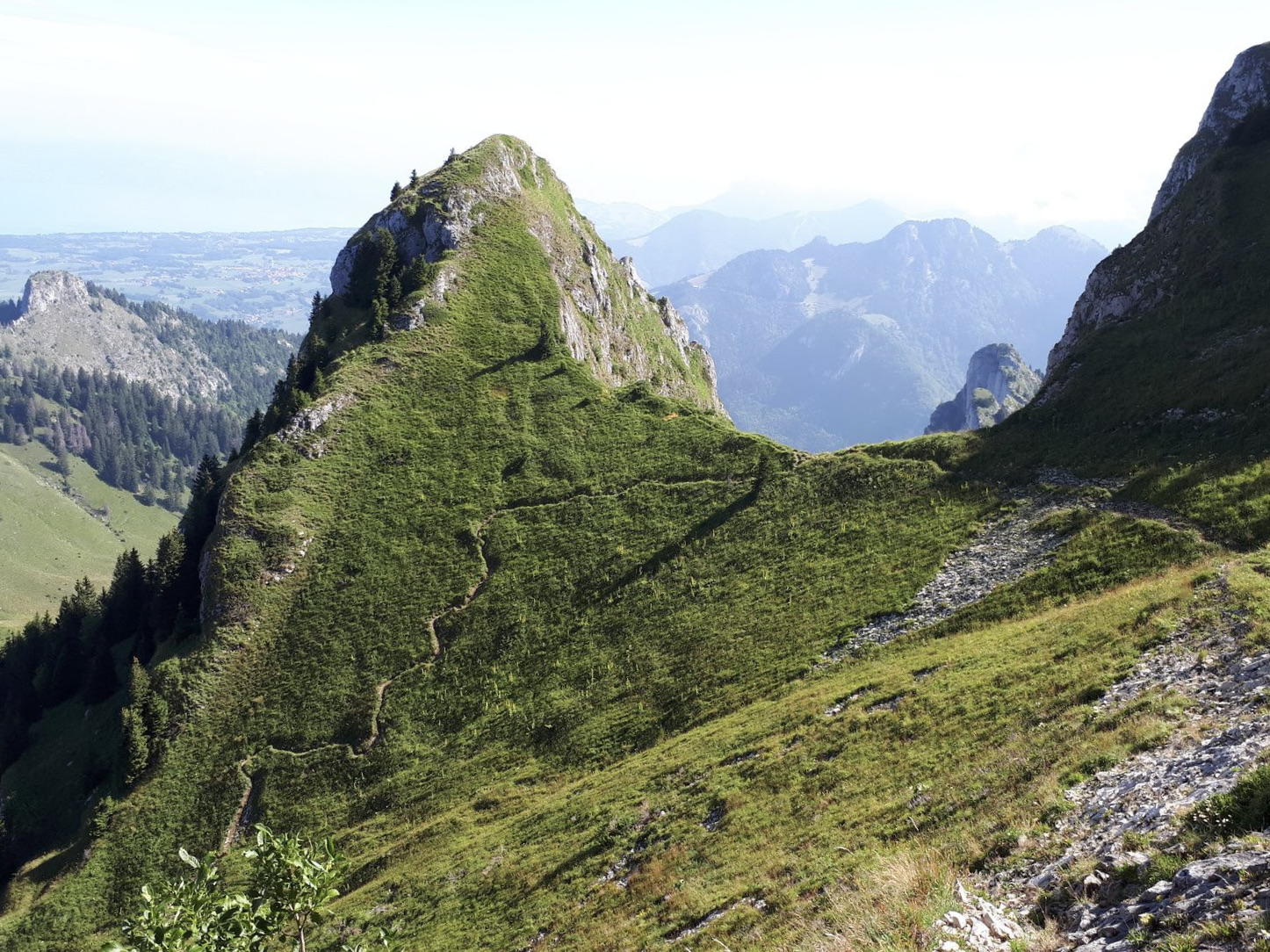
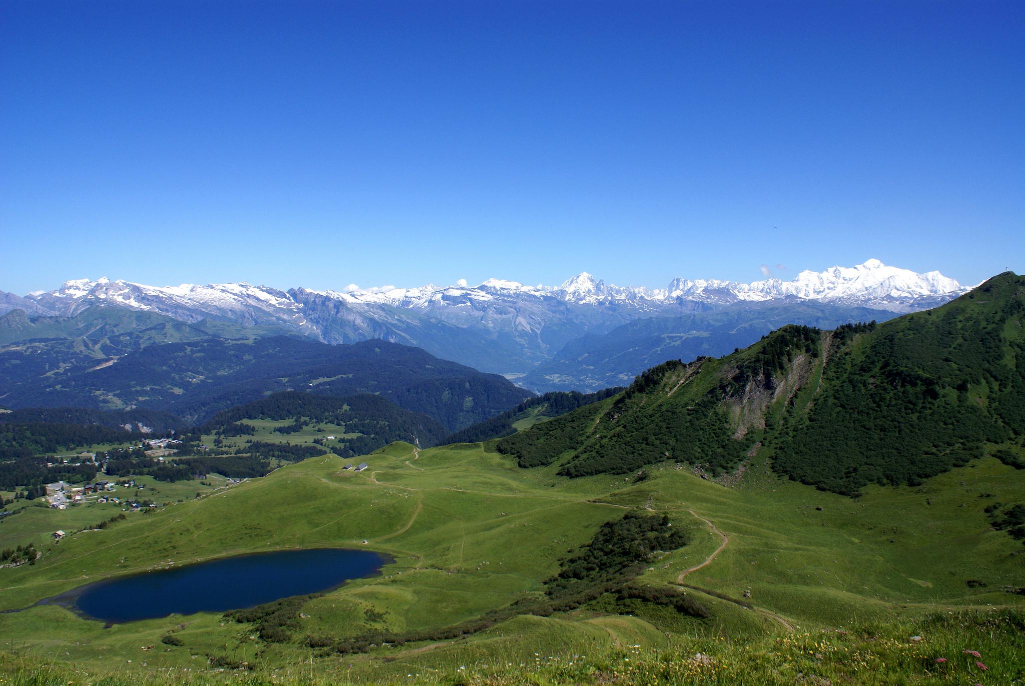
Walk leading to a small mountain lake, and then to a 360° panorama of the Alps and Lake Geneva. Note that the circuit is mainly on tracks, in the heart of a ski area.

Already more than 200,000 users!
Uphill
415m
Highest point
1943m
Downhill
415m
Lowest point
1612m
Route type
There and back
Download the map on your smartphone to save battery and rest assured to always keep access to the route, even without signal.
Includes IGN France and Swisstopo.
I indicate whether dogs are allowed or prohibited on this trail
From May to October
4 ratings
Also enjoy:

Already more than 200,000 users!