Uphill
265m
Length
5km
Duration
2h
Elev gain
265m
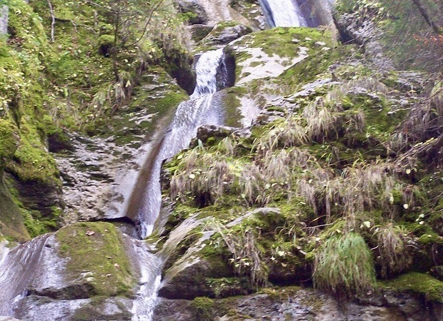
Departing from Vallon lake, this round trip takes you to several waterfalls in the heart of the forest. Note that the trail is steep and can be slippery.

Already more than 200,000 users!
Uphill
265m
Highest point
1293m
Downhill
265m
Lowest point
1076m
Route type
There and back
Download the map on your smartphone to save battery and rest assured to always keep access to the route, even without signal.
Includes IGN France and Swisstopo.
I indicate whether dogs are allowed or prohibited on this trail
Can be difficult in Winter
0 ratings
Also enjoy:

Already more than 200,000 users!