Uphill
596m
Length
7km
Duration
4h
Elev gain
596m
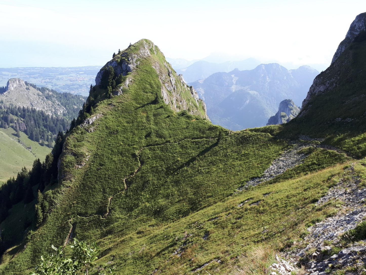
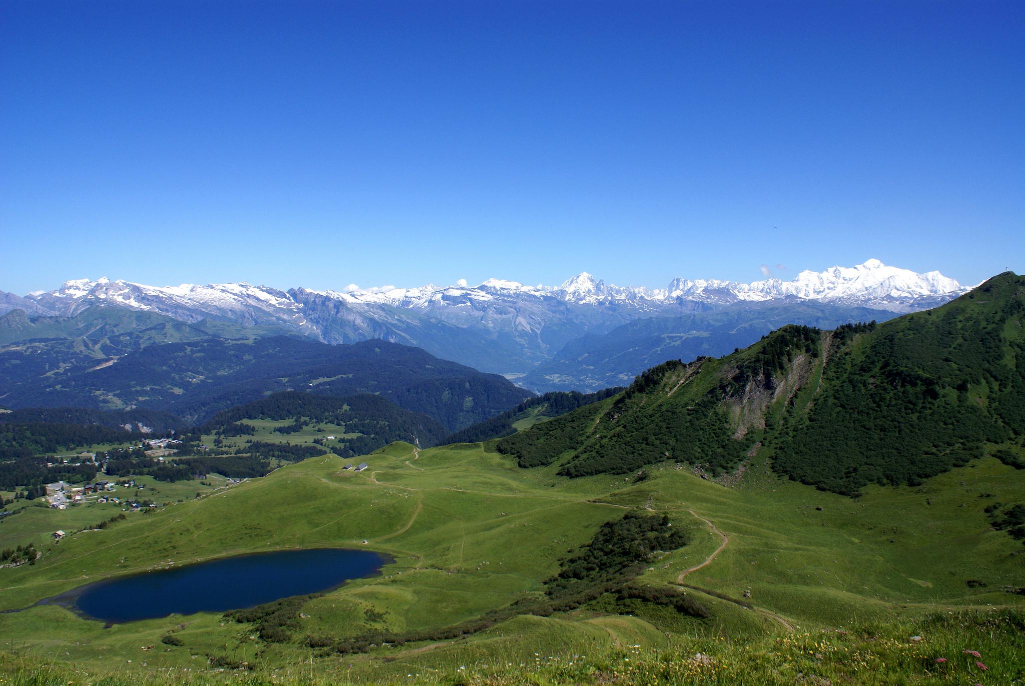
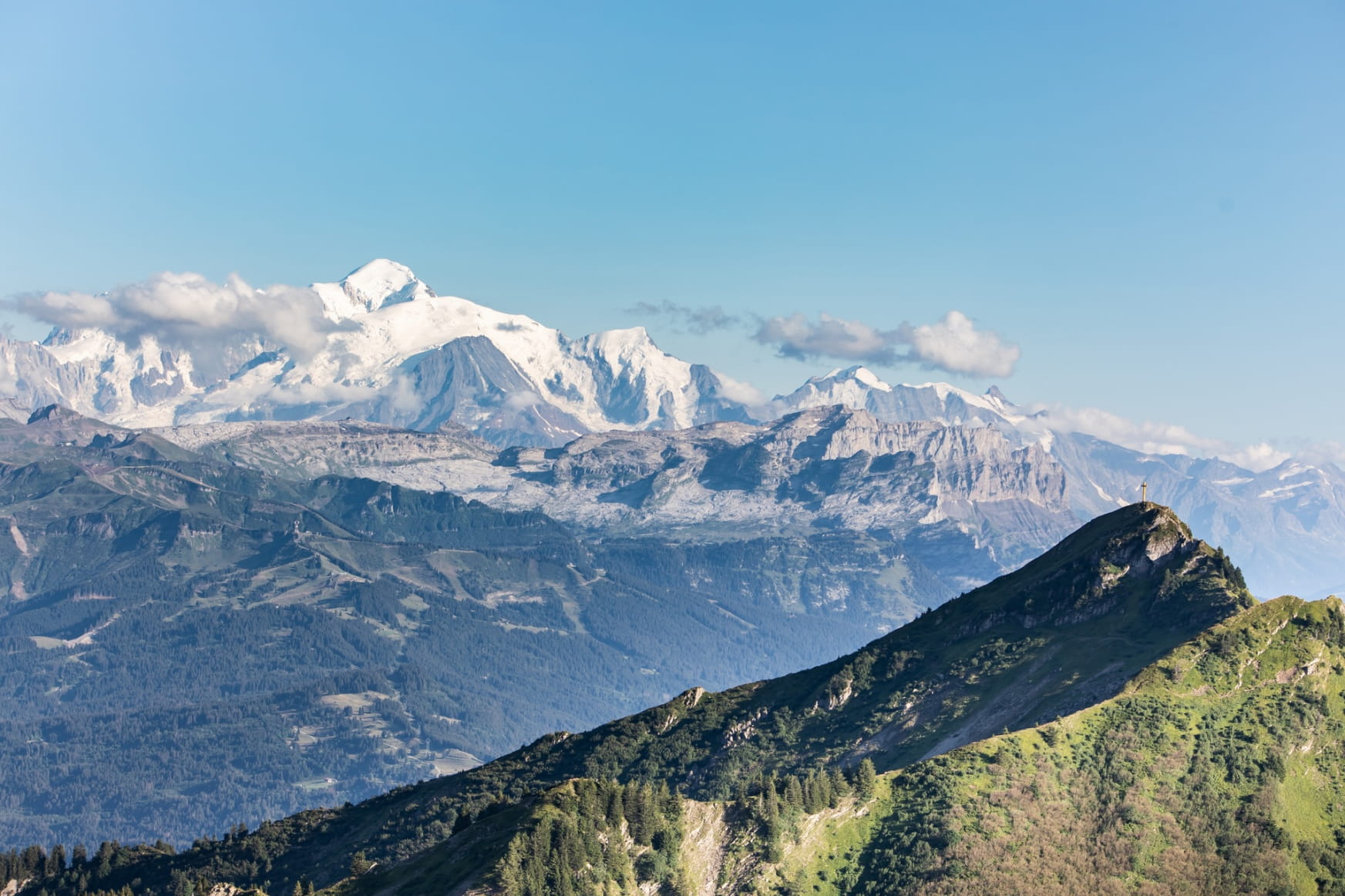
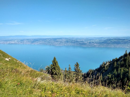
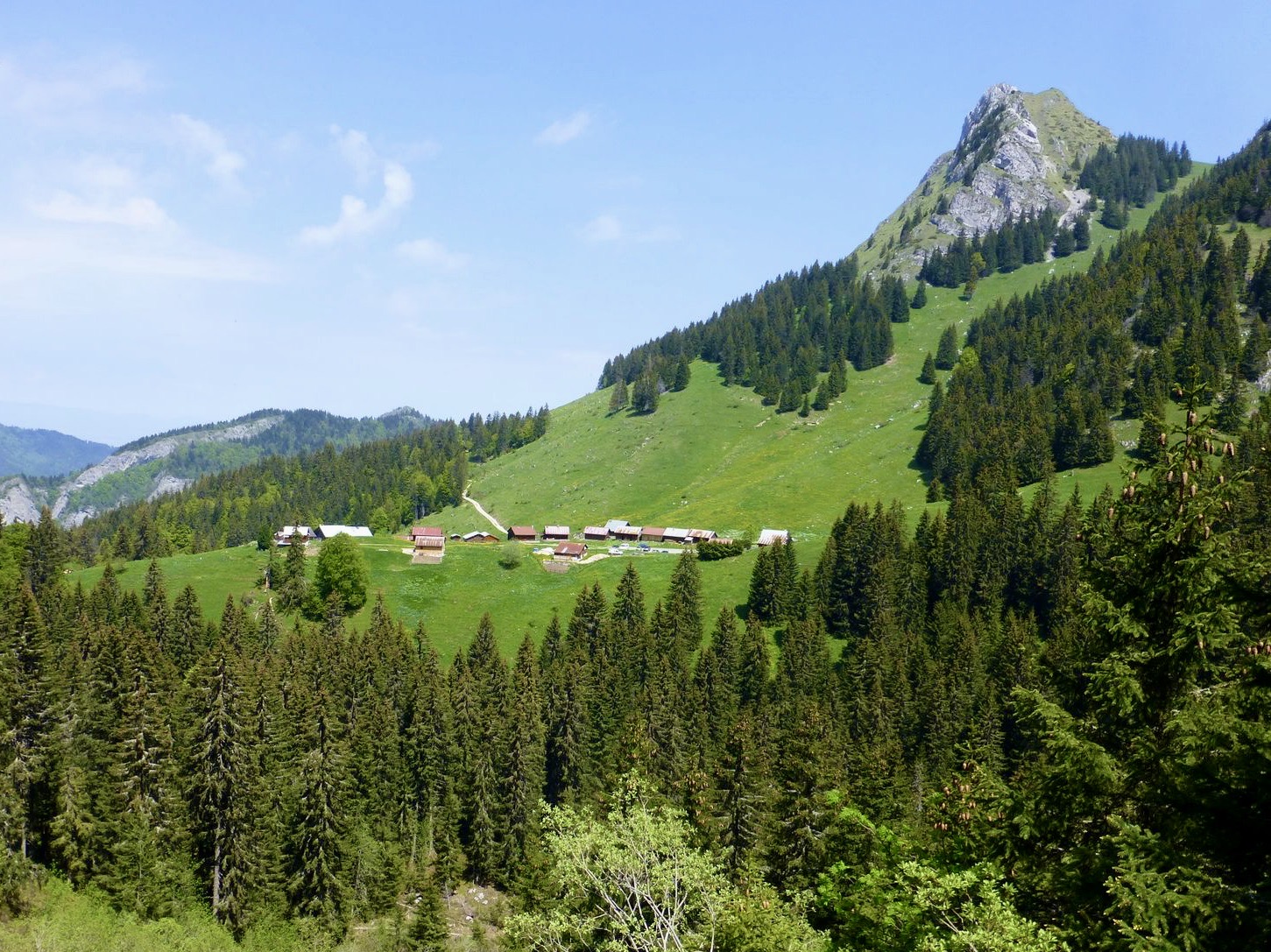
Varied hike between forests and pastures, passing by the chalets of Nifflon. Superb panorama over Lake Geneva, the Dents du Midi and Mont Blanc.

Already more than 200,000 users!
Uphill
596m
Highest point
1877m
Downhill
596m
Lowest point
1413m
Route type
Loop
Download the map on your smartphone to save battery and rest assured to always keep access to the route, even without signal.
Includes IGN France and Swisstopo.
I indicate whether dogs are allowed or prohibited on this trail
From May to October
0 ratings
Also enjoy:

Already more than 200,000 users!