Uphill
497m
Length
5km
Duration
3h
Elev gain
497m
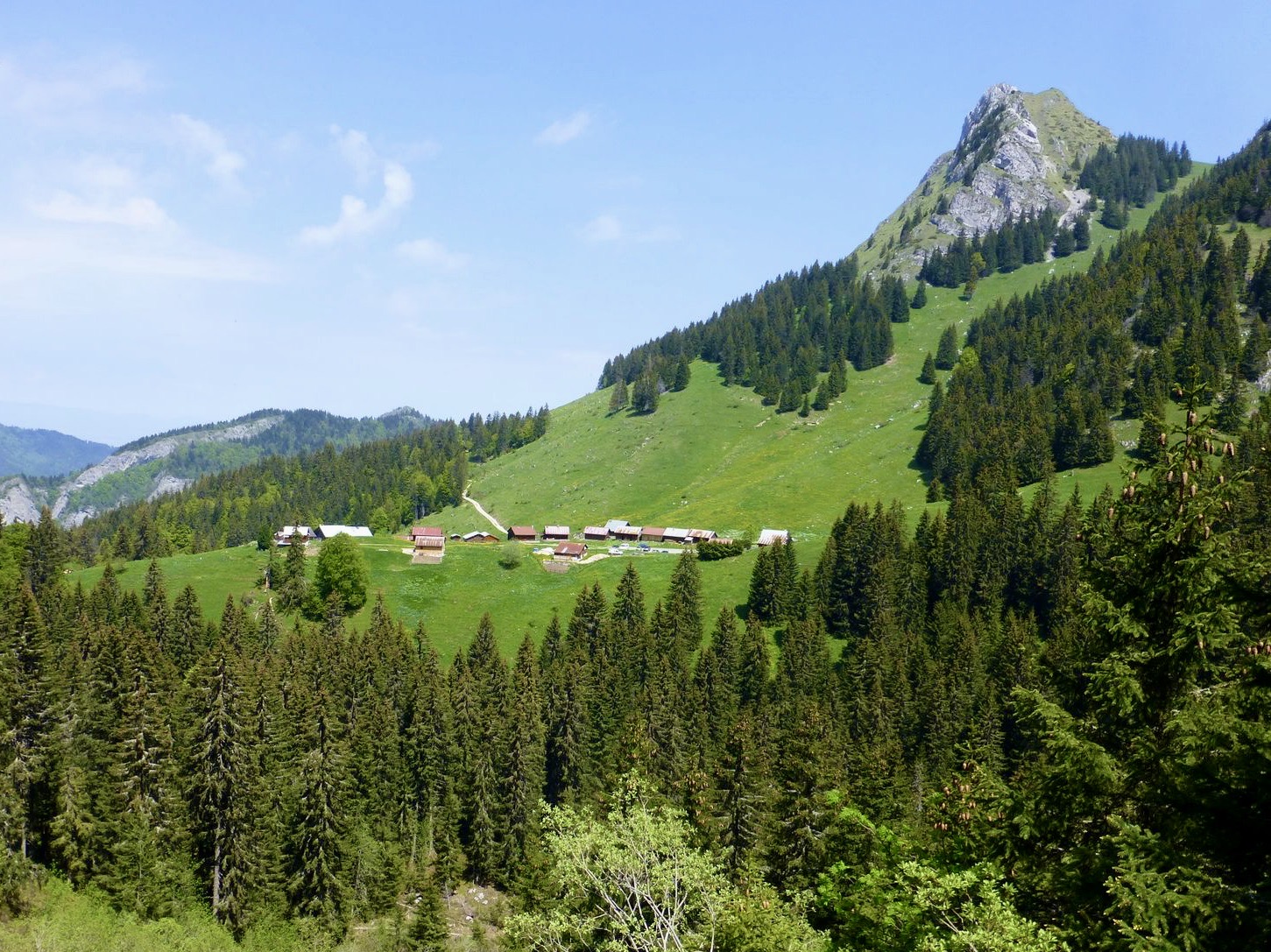
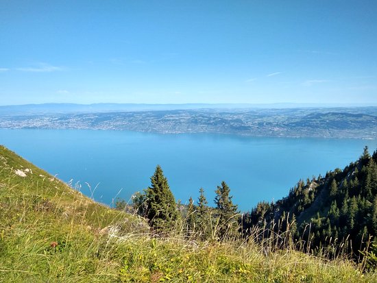
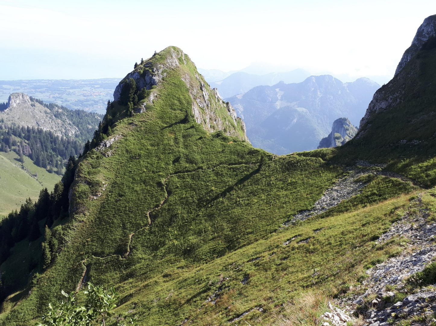
At first glance, this hike may seem easy due to its short distance and reasonable elevation. But make no mistake: it is indeed a difficult trail!
The paths are steep, narrow, and the climb is steep. To be avoided by people prone to vertigo.
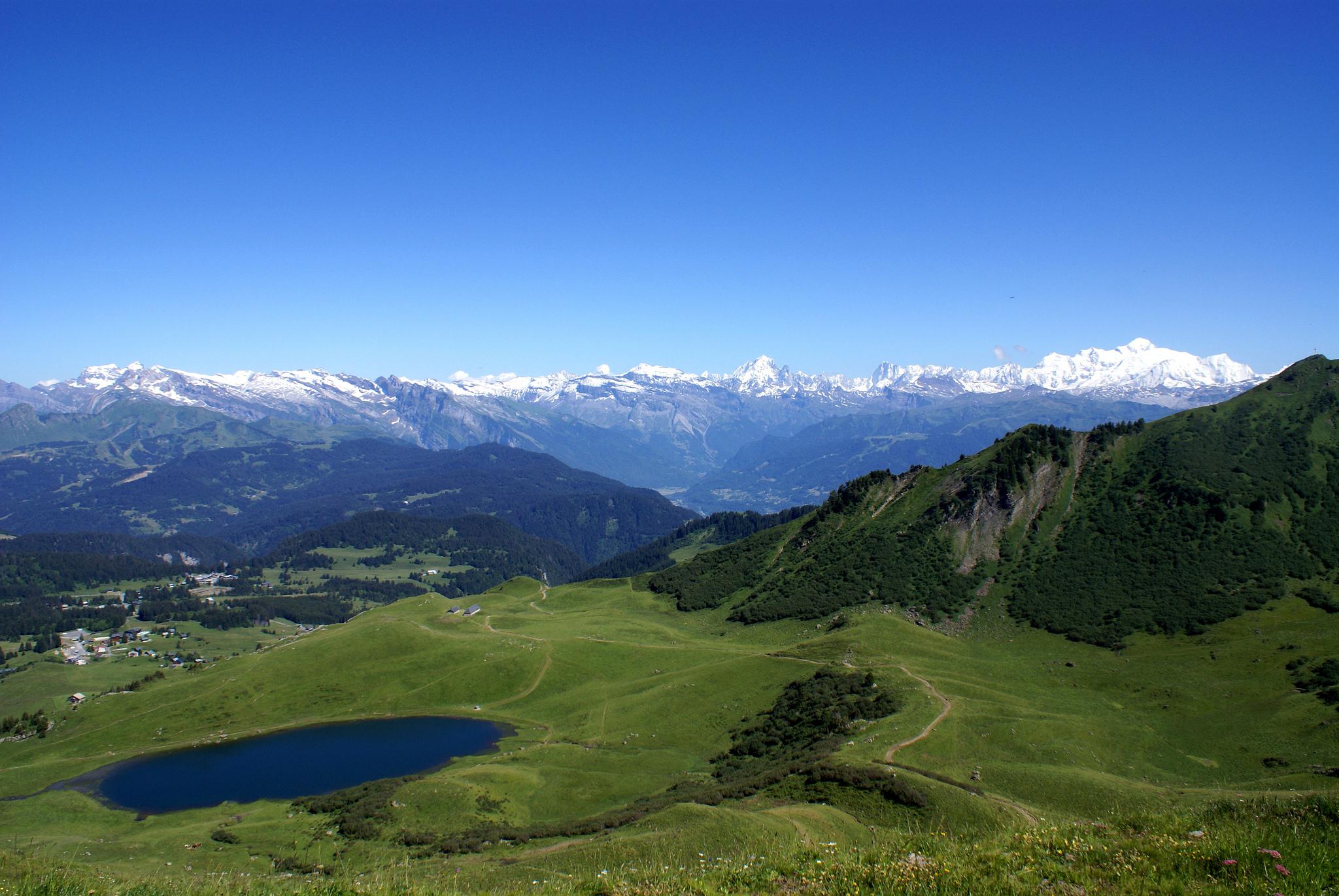
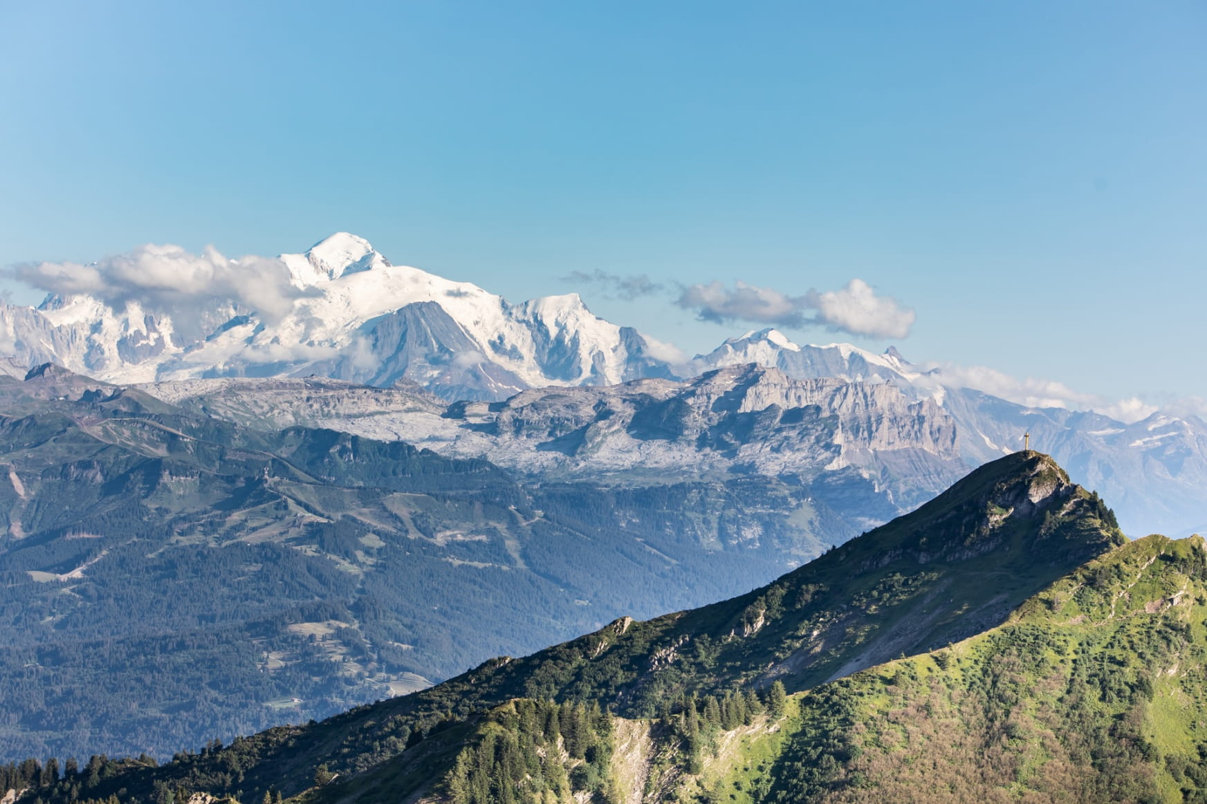
On the other hand, landscapes are magnificent and the crest offers an exceptional feeling of freedom.

Already more than 200,000 users!
Uphill
497m
Highest point
1868m
Downhill
497m
Lowest point
1430m
Route type
Loop
Download the map on your smartphone to save battery and rest assured to always keep access to the route, even without signal.
Includes IGN France and Swisstopo.
I indicate whether dogs are allowed or prohibited on this trail
From May to October
0 ratings
Also enjoy:

Already more than 200,000 users!